
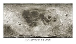
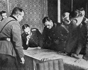
Maps Collection
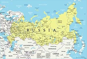
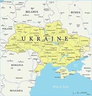
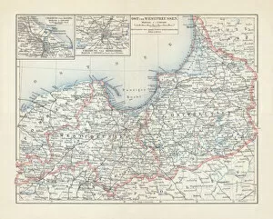
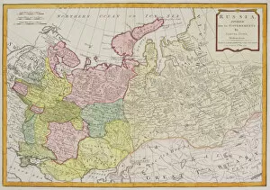
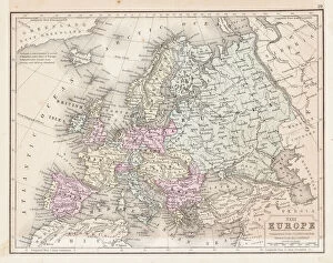
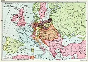
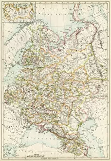
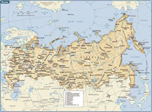
Maps of Russia Europe are a type of map that shows the geographical area of Russia and its surrounding countries
Choose a picture from our Maps Collection for your Wall Art and Photo Gifts
1,591 items


All Professionally Made to Order for Quick Shipping
-
Maps Collection
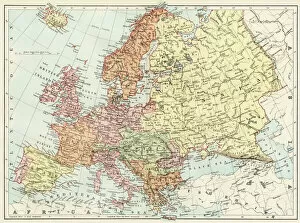
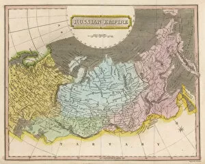
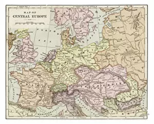
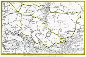
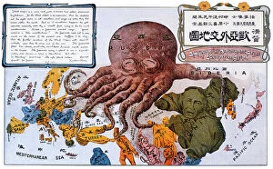
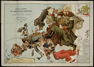
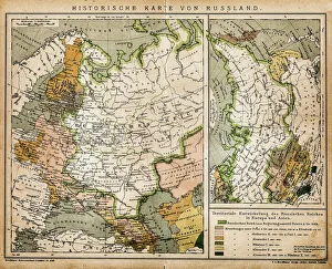
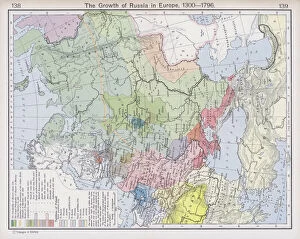
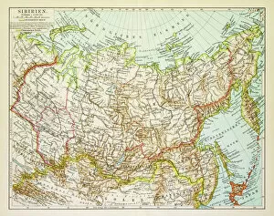
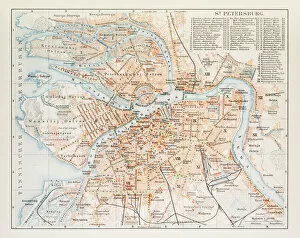
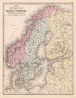
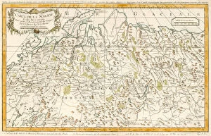
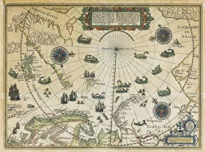
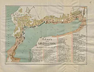
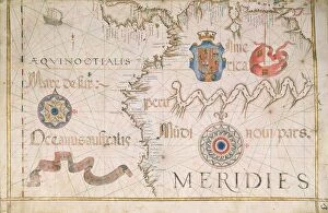
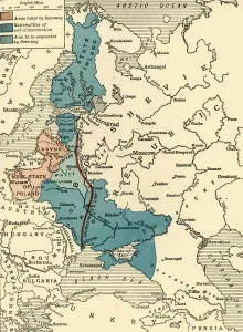
Maps of Russia Europe are a type of map that shows the geographical area of Russia and its surrounding countries. They typically include physical features such as rivers, mountains, and lakes, as well as political boundaries between countries. Maps of Russia Europe can also show major cities and towns, transportation networks like roads and railways, airports and ports, national parks or protected areas, and other important landmarks. These they can often used by travelers to plan their trips or by businesses for marketing purposes and can also be used to study the history of the region or to understand current events in the area.
+
Our beautiful pictures are available as Framed Prints, Photos, Wall Art and Photo Gifts
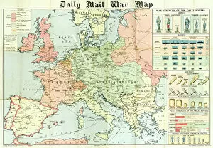
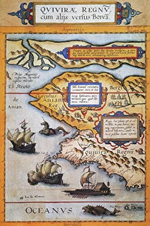
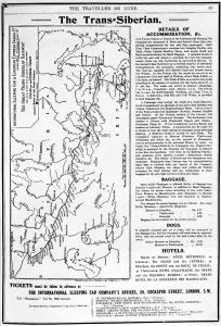
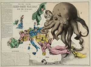
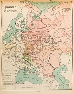
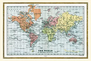
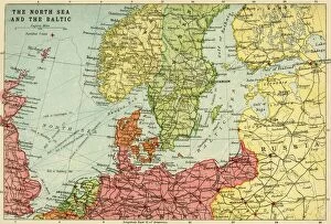
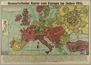
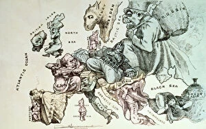
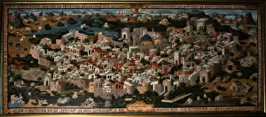
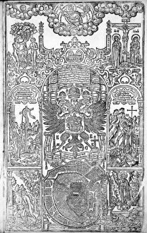
Media Storehouse offers a stunning collection of Maps of Russia Europe wall art and framed prints. Our collection features an extensive range of maps that showcase the historical, political, and geographical aspects of the region. These maps are perfect for those who love to explore history or geography enthusiasts. The Maps of Russia Europe collection includes antique maps dating back to the 16th century as well as contemporary ones that highlight modern-day borders and territories. Each map is carefully crafted with intricate details and vivid colors that make them visually appealing. Whether you're looking for a vintage-style map or a more modern one, our collection has something for everyone. You can choose from different sizes and framing options to suit your taste and decor style. Our Maps of Russia Europe collection is an excellent choice if you want to add some unique artwork to your home or office space while also learning about the rich history and culture of this fascinating region.
+
What are Maps of Russia Europe art prints?
Maps of Russia Europe art prints are high-quality reproductions of antique and contemporary maps showcasing the geography, topography, and political boundaries of Russia and Europe. These prints are created using advanced printing techniques that ensure sharp details, vibrant colors, and long-lasting durability. These maps capture the rich history and cultural diversity of Russia and Europe while also serving as valuable educational tools for students, historians, geographers, travelers or anyone interested in exploring these regions. They can be used to decorate homes or offices with a touch of sophistication while also providing an intriguing conversation starter. Whether you're looking for a vintage map from centuries ago or a modern-day representation of the region's current landscape, Maps of Russia Europe art prints offer something for everyone. With their stunning visual appeal and historical significance, they make perfect gifts for any occasion.
+
What Maps of Russia Europe art prints can I buy from Media Storehouse?
We offer a wide range of Maps of Russia Europe art prints that are perfect for those who love history and geography. These maps showcase the different regions, cities, and landmarks in Russia and Europe, providing an informative and decorative addition to any home or office space. Some of the popular options available include antique maps from the 17th century, detailed city plans from major European capitals such as Paris and London, topographical maps highlighting mountain ranges and rivers across the continent, as well as political maps illustrating borders between countries. Whether you're looking for a vintage aesthetic or a contemporary design style, we have something to suit your taste. With high-quality printing techniques on premium paper stock materials used in producing these art prints ensures they will last long without fading or losing their vibrancy over time. There is no shortage of beautiful Maps of Russia Europe art prints to choose from at Media Storehouse.
+
How do I buy Maps of Russia Europe art prints?
To buy Maps of Russia Europe art prints from Media Storehouse, you can browse our extensive collection online. Simply search for the specific map or location you are interested in and select the size and format you prefer. You can choose from a range of materials including paper, canvas, or framed prints. Once you have made your selection, add it to your cart and proceed to checkout. At this point, you will be prompted to enter your shipping information and payment details. We offer a secure online shopping experience with multiple payment options available including credit card and PayPal. Whether you are looking for a vintage map of Russia or a contemporary print of Europe's major cities, we have something to suit every taste and budget. With high-quality printing techniques used on all their products, these maps make great additions to any home or office space.
+
How much do Maps of Russia Europe art prints cost?
As a leading provider of art prints, we offer a wide range of maps of Russia and Europe for purchase. The cost of these prints varies depending on the size and type of print selected. You can choose from various sizes ranging from small to large, as well as different types such as canvas or framed prints. Media Storehouse takes pride in offering high-quality art prints at affordable prices. Our maps of Russia and Europe are no exception, with competitive pricing that ensures customers get value for their money. Whether you're looking for a vintage map or a modern interpretation, we have something to suit every taste and budget. We believe that art should be accessible to everyone. That's why we offer our customers an extensive collection of maps at reasonable prices without compromising on quality. So if you're looking to add some character to your home or office space with beautiful map artwork, check out our selection today.
+
How will my Maps of Russia Europe art prints be delivered to me?
Your Maps of Russia Europe art prints will be delivered to you in a safe and secure manner. We use high-quality packaging materials to ensure that your artwork arrives in pristine condition. Our delivery partners are reliable and efficient, ensuring that your order is delivered on time. We offer various delivery options depending on your location and preferences. Standard shipping is available for most orders, while express shipping can also be arranged for urgent deliveries. You will receive a tracking number once your order has been dispatched so you can track its progress. We take great care to ensure that our customers receive their orders promptly and without any issues. If you have any questions or concerns about the delivery of your Maps of Russia Europe art prints, please do not hesitate to contact us and we'll be happy to assist you in any way we can.