
Maps Collection
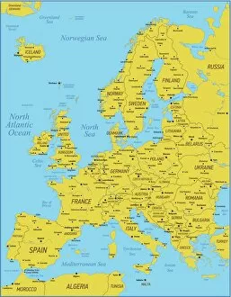
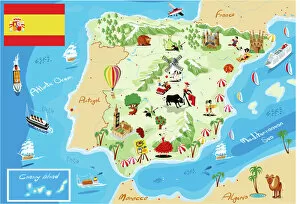
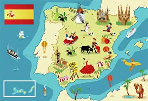
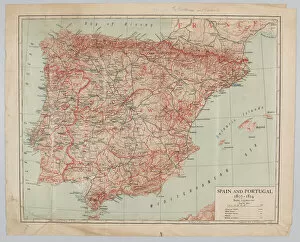
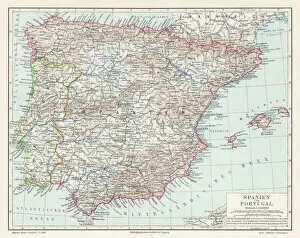
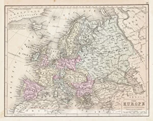
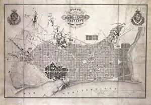
Maps of Spain Europe are a great way to explore the country and its surroundings
Choose a picture from our Maps Collection for your Wall Art and Photo Gifts
1,714 items


All Professionally Made to Order for Quick Shipping
-
Maps Collection
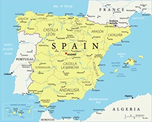
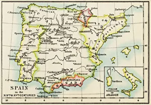
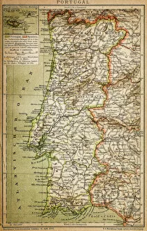
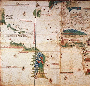
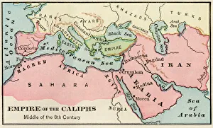
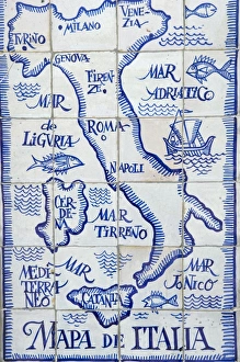
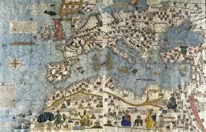
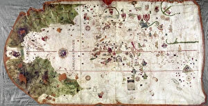
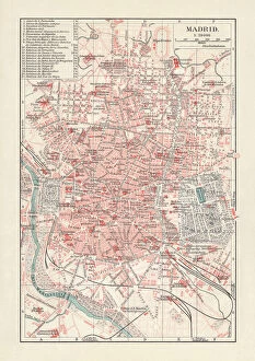
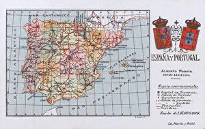
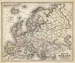
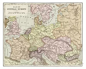
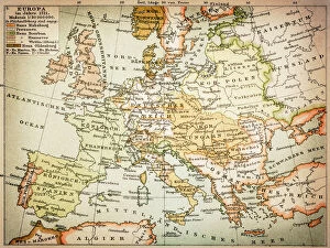
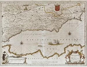
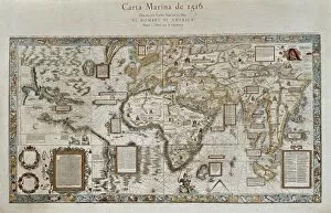
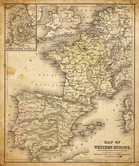
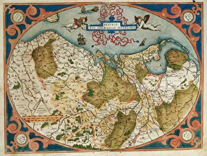
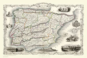
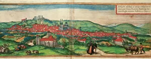
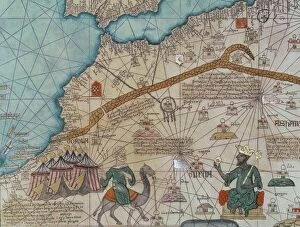
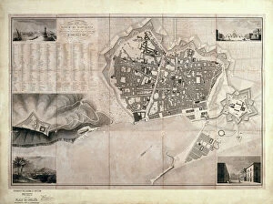
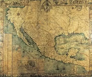
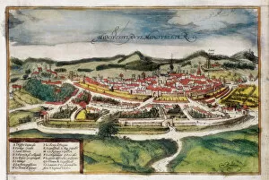
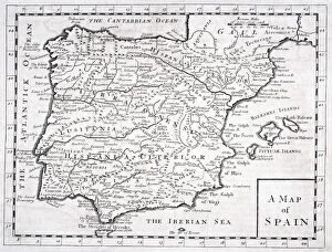
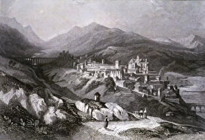
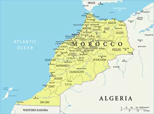
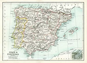
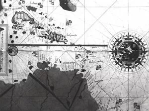
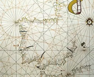
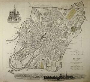
Maps of Spain Europe are a great way to explore the country and its surroundings. They provide detailed information about the geography, topography, and cultural features of the area, and are be used to plan trips, find points of interest, or just get an overview of the region. They also provide information about transportation networks, political boundaries, and other important facts. Some maps even include historical data such as ancient ruins or battles that took place in the area and can an invaluable tool for anyone looking to learn more about Spain and its surrounding countries. With a map in hand, travelers can easily navigate their way around this beautiful part of Europe with ease.
+
Our beautiful pictures are available as Framed Prints, Photos, Wall Art and Photo Gifts
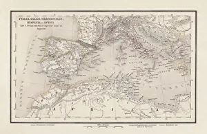
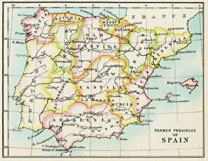
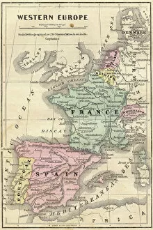
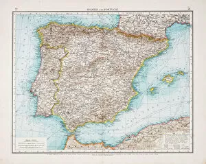
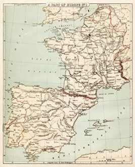
The Maps of Spain Europe collection from Media Storehouse is a stunning assortment of wall art and framed prints that showcase the beauty and diversity of Spain. Our collection features an array of maps, ranging from antique to modern, highlighting various regions in Spain and other parts of Europe. The intricate details on these maps are sure to captivate any viewer's attention. Each piece in our collection is carefully crafted using high-quality materials, ensuring that they will last for years to come. Whether you're looking for a unique addition to your home decor or a thoughtful gift for someone special, the Maps of Spain Europe collection has something for everyone. From vintage-style maps featuring detailed illustrations to contemporary designs with bold colors and typography, our collection offers a wide range of options that cater to different tastes and preferences. The Maps of Spain Europe collection is an excellent choice for anyone who appreciates beautiful artwork inspired by geography and history.
+
What are Maps of Spain Europe art prints?
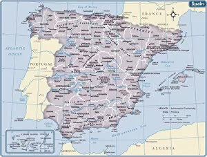
Maps of Spain Europe art prints are high-quality reproductions of vintage and contemporary maps depicting the geography, topography, and political boundaries of Spain and its neighboring European countries. These art prints showcase intricate details such as cities, rivers, mountains, coastlines, and landmarks that make them not only informative but also visually appealing. These maps can be used for educational purposes in schools or universities to aid students' understanding of geography or history. They can also serve as decorative pieces in homes or offices for those who appreciate cartography or have a connection to Spain or Europe. We offer a wide range of Maps of Spain Europe art prints in various sizes and formats such as framed posters, canvas prints, metal signs, and more. With their vast collection of images sourced from renowned archives worldwide combined with their state-of-the-art printing technology ensures that customers receive high-quality products that will last for years to come.
+
What Maps of Spain Europe art prints can I buy from Media Storehouse?
We offer a wide range of Maps of Spain Europe art prints that are perfect for both personal and professional use. You can choose from a variety of styles, sizes, and formats to suit your needs. Whether you're looking for vintage maps or modern designs, we have something for everyone. Some popular options include detailed topographical maps that show the terrain and landscape features of Spain and Europe. These are great for hikers, campers, and outdoor enthusiasts who want to explore the region's natural beauty. Other popular choices include political maps that show the boundaries between countries, cities, towns, and other important landmarks. These are ideal for students studying geography or history or professionals working in international business or politics. If you're looking for high-quality Maps of Spain Europe art prints that are both informative and visually stunning, Media Storehouse is an excellent choice.
+
How do I buy Maps of Spain Europe art prints?
To buy Maps of Spain Europe art prints from Media Storehouse, you can browse our extensive collection online. Our website features a user-friendly interface that allows you to search for specific maps or browse by category. Once you have found the print(s) you want, simply add them to your cart and proceed to checkout. We offer a variety of sizes and framing options for their prints, so be sure to select the one that best suits your needs. We also offer a range of paper types, including glossy and matte finishes. If you have any questions about purchasing Maps of Spain Europe art prints from Media Storehouse, our customer service team is available to assist you via email or phone. We are happy to help with any inquiries related to ordering, payment processing or shipping information. With high-quality products and excellent customer service, buying Maps of Spain Europe art prints from Media Storehouse is an easy and enjoyable experience.
+
How much do Maps of Spain Europe art prints cost?
We offer a wide range of Maps of Spain Europe art prints at varying prices. Our collection includes vintage maps, contemporary designs and everything in between to suit all tastes and budgets. The cost of our Maps of Spain Europe art prints depends on several factors such as the size, quality, and type of print you choose. We have options for both framed and unframed prints that can be customized to your preferences. Our high-quality Maps of Spain Europe art prints are perfect for adding character to any room or office space. They make great gifts for travel enthusiasts or anyone who loves exploring new places. With our extensive collection, you're sure to find something that fits your style and budget. We take pride in providing affordable yet top-notch quality products that meet the needs of our customers. Browse through our selection today to find the perfect Map of Spain Europe art print for your home or office.
+
How will my Maps of Spain Europe art prints be delivered to me?
We take pride in delivering your Maps of Spain Europe art prints with the utmost care and attention. We use high-quality packaging materials to ensure that your artwork arrives in perfect condition. Your print will be carefully rolled and placed inside a sturdy cardboard tube for safe transportation. We work with trusted courier partners who specialize in handling delicate items such as art prints. Once your order has been dispatched, you will receive a tracking number so you can keep an eye on its progress. When your Maps of Spain Europe art print arrives, simply unroll it and lay it flat on a clean surface to allow any creases or curls to settle naturally. You can then frame it or display it however you choose. We are committed to providing our customers with the highest level of service possible. If you have any questions about delivery or anything else related to your order, please don't hesitate to get in touch with us.