
Turkey Collection
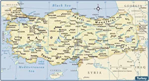
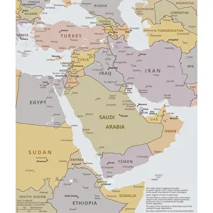
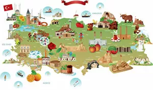
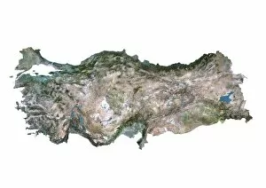
Turkey is a transcontinental country located in Southeast Europe and Southwest Asia and has a population of over 82 million people
Choose a picture from our Turkey Collection for your Wall Art and Photo Gifts
647 items


All Professionally Made to Order for Quick Shipping
-
Turkey Collection
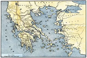
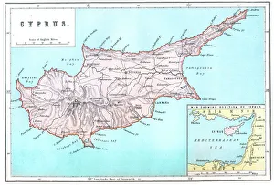
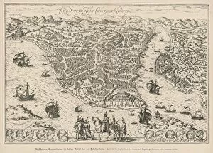
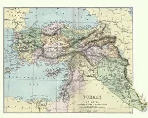
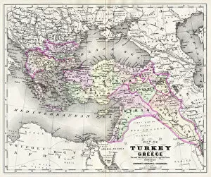
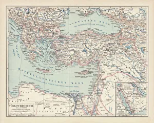
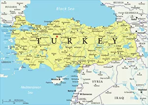
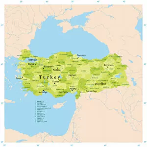
Turkey is a transcontinental country located in Southeast Europe and Southwest Asia and has a population of over 82 million people, making it the world's 18th most populous country. The capital city is Ankara, while Istanbul is the largest city and economic center. A diverse economy with industries such as textiles, automotive, electronics, and tourism contributing significantly to its GDP. The country also boasts of rich cultural heritage evident in its architecture, cuisine, music, and festivals. Turkey shares borders with eight countries including Greece, Bulgaria, Georgia, Armenia among others and has access to two seas; the Black Sea and Mediterranean Sea.
+
Our beautiful pictures are available as Framed Prints, Photos, Wall Art and Photo Gifts
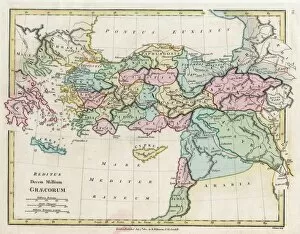
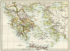
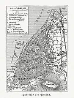
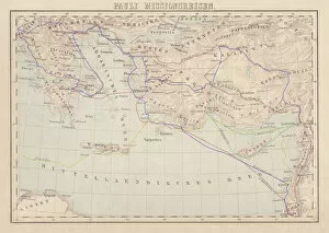
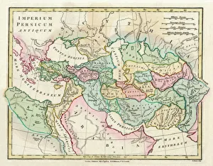
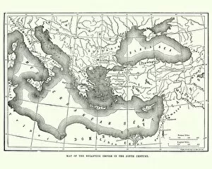
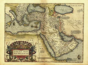
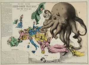
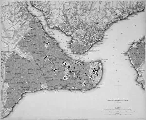
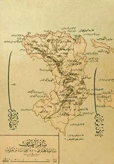
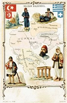
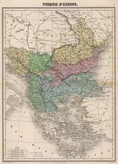
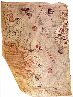
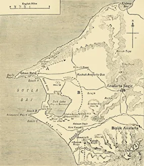
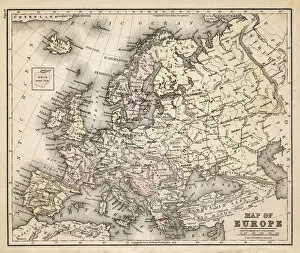
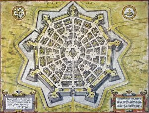
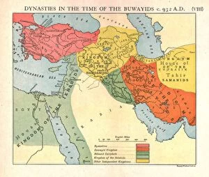
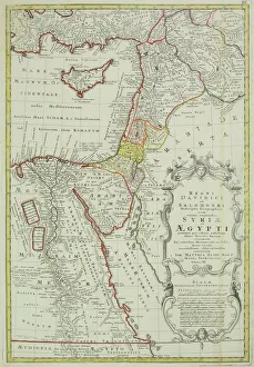
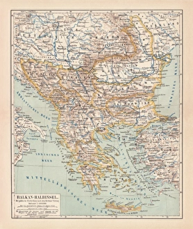
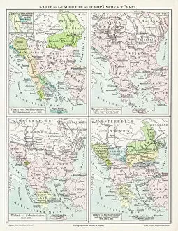
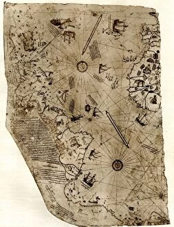
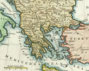
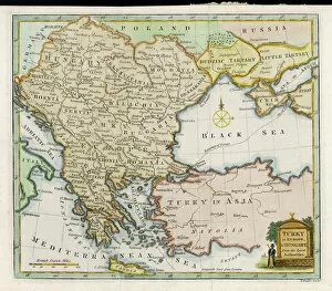
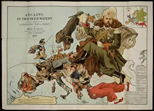
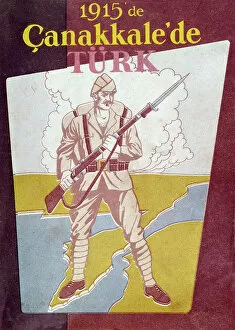
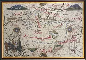
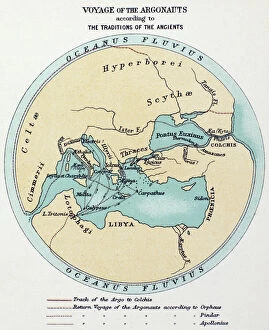
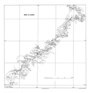
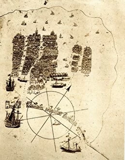
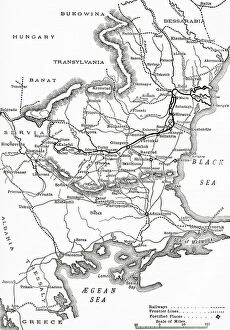
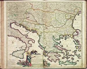
The Turkey collection from Media Storehouse is a stunning selection of wall art and framed prints that showcase the beauty and history of Turkey. Our collection features a range of maps, charts, and illustrations that depict the country's geography, landmarks, cities, and historical events. The artwork in our collection is sourced from various archives around the world, including museums, libraries, and private collections. Each piece in our collection has been carefully curated to offer a unique perspective on Turkey's rich cultural heritage. From antique maps depicting Ottoman-era borders to modern-day satellite images showcasing Istanbul's bustling cityscape - there is something for everyone in this diverse collection. Whether you're looking to add some Turkish flair to your home or office decor or simply want to learn more about this fascinating country - the Turkey collection from Media Storehouse offers an unparalleled glimpse into its past and present.
+
What are Turkey (Maps and Charts) art prints?
Turkey art prints are high-quality reproductions of historical maps and charts depicting the country of Turkey. These prints showcase the intricate details, unique features, and geographical landmarks of Turkey that have been captured by skilled cartographers over time. These art prints offer a glimpse into the past, allowing viewers to explore how Turkey has evolved through history. They also serve as educational tools for students, historians, and geography enthusiasts who want to learn more about this fascinating country. Turkey art prints are available in various sizes and formats such as framed or unframed prints, canvas wraps or posters. They make great additions to any home or office decor with their vintage charm adding character to any space. Whether you're looking for a piece of artwork that celebrates your love for travel or simply want to add some cultural flair to your living space - these beautiful art pieces from Media Storehouse are sure to impress.
+
What Turkey (Maps and Charts) art prints can I buy from Media Storehouse?
We offer a wide range of Turkey art prints, including maps and charts. These prints showcase the beauty and diversity of Turkey's landscapes, cities, and historical sites. You can choose from vintage maps that highlight the country's geography or contemporary charts that depict its political boundaries. In addition to maps and charts, Media Storehouse also offers photographic prints featuring iconic landmarks such as Hagia Sophia in Istanbul or Cappadocia's unique rock formations. You can also find stunning images of Turkey's coastline, mountains, and countryside. Whether you're looking for a piece to decorate your home or office or a gift for someone who loves Turkey, we have something for everyone. With high-quality printing on premium paper stock, these art prints are sure to impress anyone who sees them.
+
How do I buy Turkey (Maps and Charts) art prints?
To buy Turkey art prints from Media Storehouse, you can browse our extensive collection of high-quality images online. Simply search for "Turkey Maps and Charts" in the search bar on our website to find a range of options available. Once you have found an image that you like, select the size and format that suits your needs. You can choose from a variety of print sizes, including small, medium, large or extra-large prints. After selecting your preferred size and format, add the item to your cart and proceed to checkout. You will be prompted to enter your shipping information as well as payment details. We offer secure payment methods such as credit card payments or PayPal transactions. Once your order is confirmed, they will process it promptly so that you receive your Turkey art print in no time.
+
How much do Turkey (Maps and Charts) art prints cost?
We offer a wide range of Turkey art prints at varying prices. Our collection includes high-quality prints that are perfect for adding a touch of elegance to any room in your home or office. The cost of our Turkey art prints depends on the size, framing options, and other customizations you choose. We have something for everyone's budget with affordable options as well as premium quality products. We take pride in offering exceptional value for money while maintaining the highest standards of quality. Our Turkey art prints come in various sizes ranging from small to large formats so that you can find the perfect fit for your space. Whether you're looking to decorate your living room, bedroom or office, our selection has got you covered.
+
How will my Turkey (Maps and Charts) art prints be delivered to me?
We take great care in delivering your Turkey art prints to you. Once you have placed your order with us, our team of professionals will carefully package your print to ensure it arrives safely at its destination. We use high-quality materials that are designed to protect the artwork during transit. Depending on the size of the print, we may roll it up and place it in a sturdy tube for shipping or pack it flat between two pieces of cardboard. Our delivery partners are trusted couriers who specialize in handling fragile items such as artwork. When your Turkey art print arrives, please inspect it carefully to ensure that there is no damage during transit. If you do find any issues with your order, please contact us immediately so that we can resolve them for you as quickly as possible. We hope that you enjoy your new artwork from Media Storehouse.