Home > Europe > France > Maps
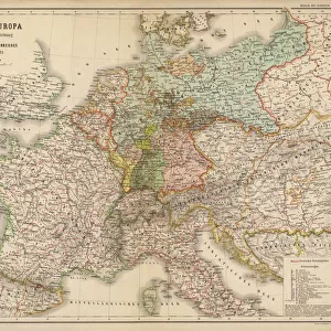
Map showing the occupation, and demilitarization of France by Germany during WWII. From The War in Pictures, First Year.
![]()

Wall Art and Photo Gifts from Design Pics
Map showing the occupation, and demilitarization of France by Germany during WWII. From The War in Pictures, First Year.
Map showing the occupation, and demilitarization of France by Germany during WWII. From The War in Pictures, First Year
Design Pics offers Distinctively Different Imagery representing over 1,500 contributors
Media ID 36527339
© Ken Welsh / Design Pics
1940 20th Century Conflict France Germany Occupation Second World War Showing Wartime World War Two Wwii
FEATURES IN THESE COLLECTIONS
> Design Pics
> Art Images - Mar 04, 2024
> Maps and Charts
> Early Maps
> Maps and Charts
> Related Images
> Maps and Charts
> World
EDITORS COMMENTS
This evocative map print, created by Ken Welsh for The War in Pictures series, offers a compelling visual representation of the occupation and demilitarization of France by Germany during the first year of the Second World War. The intricately detailed engraving illustrates the extent of the German military advancement into France in 1940, with vivid shading denoting the occupied zones. The map marks key cities and towns that fell under German control, including Paris, Bordeaux, and Marseille, as well as the Maginot Line, the once-impregnable fortification system that ultimately proved ineffective against the Blitzkrieg tactics of the German army. The map also highlights the demilitarization process, which saw the disarmament and disbanding of the French military, as well as the forced labor and internment of French civilians. The demilitarization zones are clearly demarcated, with the symbolic image of a hammer and sickle denoting the disarmament of French forces. The map serves as a poignant reminder of the devastating impact of war on the civilian population and the territorial integrity of nations. As a historical artifact, this map offers valuable insights into the geopolitical realities of the Second World War's early stages. The intricate detail and vintage aesthetic of the engraving add to its visual appeal, making it a captivating addition to any historical or military collection. The map also serves as a reminder of the importance of understanding the past, as we continue to navigate the complexities of the modern world.
MADE IN THE USA
Safe Shipping with 30 Day Money Back Guarantee
FREE PERSONALISATION*
We are proud to offer a range of customisation features including Personalised Captions, Color Filters and Picture Zoom Tools
SECURE PAYMENTS
We happily accept a wide range of payment options so you can pay for the things you need in the way that is most convenient for you
* Options may vary by product and licensing agreement. Zoomed Pictures can be adjusted in the Cart.


