Home > Asia > Indonesia > Maps
Map of Bali (Indonesia), around 1870 - Lithography 19th century (Map of Bali, 1870s - Color lithograph of a 19th-century illustration)
, around 1870 - Lithography 19th century (Map of Bali, 1870s - Color lithograph of a 19th-century illustration)")
![]()
Wall Art and Photo Gifts from Fine Art Finder
Map of Bali (Indonesia), around 1870 - Lithography 19th century (Map of Bali, 1870s - Color lithograph of a 19th-century illustration)
NWI4879616 Map of Bali (Indonesia), around 1870 - Lithography 19th century (Map of Bali, 1870s - Color lithograph of a 19th-century illustration); (add.info.: Map of Bali (Indonesia), around 1870 - Lithography 19th century (Map of Bali, 1870s - Color lithograph of a 19th-century illustration)); Photo © North Wind Pictures
Media ID 38422206
© © North Wind Pictures / Bridgeman Images
Bali Balinese Indonesia Indonesia Indonesian Indonesian South East Asia Asian Asian Geographical Map
FEATURES IN THESE COLLECTIONS
> Asia
> Indonesia
> Related Images
> Fine Art Finder
> Artists
> Pasquier (workshop of) Grenier
> Maps and Charts
> Early Maps
EDITORS COMMENTS
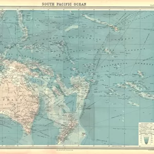
This stunning lithograph print of a Map of Bali from around 1870 offers a glimpse into the intricate geography and cultural richness of this Indonesian island. The vibrant colors and detailed illustrations capture the essence of Bali in the 19th century, showcasing its diverse landscapes and unique landmarks.
As you study this map, you can imagine navigating through the lush jungles, serene rice terraces, and bustling villages that make up the fabric of Bali. Each stroke of the engraver's hand brings to life the spirit of this enchanting destination, inviting you to explore its hidden treasures and ancient traditions.
From sacred temples to pristine beaches, every corner of Bali is represented with precision and artistry in this lithograph. The delicate lines and careful shading highlight not just physical features but also cultural nuances that define this island paradise.
Whether you are a history buff or simply drawn to the beauty of cartography, this Map of Bali from the 19th century is sure to captivate your imagination. Let it transport you back in time to an era when exploration was at its peak and discover for yourself why Bali has long been a magnet for travelers seeking adventure and enlightenment.
MADE IN THE USA
Safe Shipping with 30 Day Money Back Guarantee
FREE PERSONALISATION*
We are proud to offer a range of customisation features including Personalised Captions, Color Filters and Picture Zoom Tools
SECURE PAYMENTS
We happily accept a wide range of payment options so you can pay for the things you need in the way that is most convenient for you
* Options may vary by product and licensing agreement. Zoomed Pictures can be adjusted in the Cart.