Home > Asia > Thailand > Maps
Map of the city of Siam, capital of the kingdom of that name after a survey done by a

![]()
Wall Art and Photo Gifts from Fine Art Finder
Map of the city of Siam, capital of the kingdom of that name after a survey done by a
LIT389753 Map of the city of Siam, capital of the kingdom of that name after a survey done by a French engineer in 1687, published in the 1751 edition of Histoire Generale des Voyages by Antoine Prevost (litho) by French School, (17th century); (add.info.: Plan de la Ville de Siam, Capitale du Royaume de ce Nom; lev par un ingnieur Francais en 1687; Abbe Prevost (1697-1763); ); Photo eLuca Tettoni; French, out of copyright
Media ID 22923994
© Luca Tettoni / Bridgeman Images
Ayutthaya Ayutthayan Compass Mapping Scale Siamese Surrounded Surrounding Thai Thailand Topographical
FEATURES IN THESE COLLECTIONS
> Asia
> Thailand
> Related Images
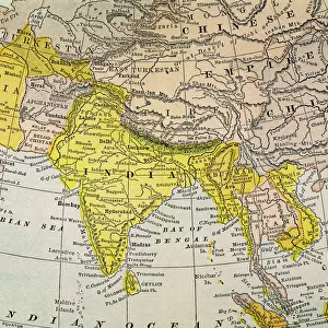
> Asia
> Turkmenistan
> Maps
> Fine Art Finder
> Artists
> French School
> Fine Art Finder
> Artists
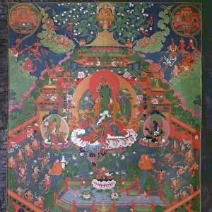
> School Tibetan
> Fine Art Finder
> Maps (celestial & Terrestrial)
> Maps and Charts
> Related Images
EDITORS COMMENTS
This print showcases a historical map titled "Map of the city of Siam, capital of the kingdom of that name after a survey done by a French engineer in 1687". Published in the esteemed 1751 edition of Histoire Generale des Voyages by Antoine Prevost, this lithograph offers us an intriguing glimpse into the past. The intricate details and precision evident in this piece reflect the meticulous work carried out by both the French engineer and Abbe Prevost. The map highlights not only the city of Siam but also its surrounding areas, including rivers and neighboring regions. It provides valuable insights into topography, scale, compass directions, and mapping techniques employed during that era. As we delve deeper into this image, we are transported to a time when Siam was still known as an independent kingdom. The engraving beautifully captures the essence of Ayutthaya - once considered one of Asia's most magnificent cities. Its grandeur is emphasized through architectural elements depicted on this map. Through this photograph taken by Luca Tettoni from Bridgeman Images, we can appreciate how cartography played a crucial role in documenting history and facilitating exploration during centuries past. This remarkable piece serves as a testament to human curiosity and our relentless pursuit to understand our world better.
MADE IN THE USA
Safe Shipping with 30 Day Money Back Guarantee
FREE PERSONALISATION*
We are proud to offer a range of customisation features including Personalised Captions, Color Filters and Picture Zoom Tools
SECURE PAYMENTS
We happily accept a wide range of payment options so you can pay for the things you need in the way that is most convenient for you
* Options may vary by product and licensing agreement. Zoomed Pictures can be adjusted in the Cart.