Home > Europe > France > Paris > Related Images
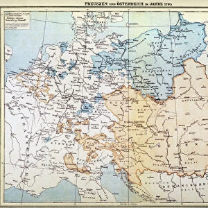
Governmental and Legislative Map of France, printed by Ledoyen & Giret, Paris, 1852

![]()
Wall Art and Photo Gifts from Fine Art Finder
Governmental and Legislative Map of France, printed by Ledoyen & Giret, Paris, 1852
XIR290898 Governmental and Legislative Map of France, printed by Ledoyen & Giret, Paris, 1852 (litho) by French School, (19th century); Bibliotheque Nationale, Paris, France; (add.info.: La France, Gouvernementale et Legislative; nouvelle edition publie sous la direction de M. Theubet, par V. Janson; demonstrates the results of 1852 general election, which gave the Bonapartist party of Emperor Napoleon III a huge majority of 258 seats out of 261; ); French, out of copyright
Media ID 12812719
© www.bridgemanimages.com
Administrative Areas Districts Divisions Election Electoral French Politics Region Regions Results Second Empire System Voting
FEATURES IN THESE COLLECTIONS
> Europe
> France
> Paris
> Related Images
> Fine Art Finder
> Schools
> French School
EDITORS COMMENTS
This print showcases the "Governmental and Legislative Map of France" printed by Ledoyen & Giret in Paris, 1852. The lithograph, created by an anonymous French School artist from the 19th century, is housed in the prestigious Bibliotheque Nationale in Paris, France. The map, titled "La France, Gouvernementale et Legislative" was a new edition published under the direction of M. Theubet and V. Janson. It vividly illustrates the aftermath of the 1852 general election which resulted in a resounding victory for Emperor Napoleon III's Bonapartist party. Out of 261 seats available, they secured an astounding majority with 258 seats. This historical artifact provides valuable insights into French politics during the Second Empire era. It delineates various administrative divisions and regions within France while also highlighting electoral districts and their corresponding results from this pivotal election. The significance of this map lies not only in its artistic beauty but also as a testament to political power dynamics at that time. Its existence serves as a reminder of how elections can shape governments and influence legislative agendas. As we gaze upon this remarkable piece of history captured through lithography, we are transported back to a moment when political tides were shifting dramatically in France's rich tapestry of governance.
MADE IN THE USA
Safe Shipping with 30 Day Money Back Guarantee
FREE PERSONALISATION*
We are proud to offer a range of customisation features including Personalised Captions, Color Filters and Picture Zoom Tools
SECURE PAYMENTS
We happily accept a wide range of payment options so you can pay for the things you need in the way that is most convenient for you
* Options may vary by product and licensing agreement. Zoomed Pictures can be adjusted in the Cart.