Home > North America > United States of America > Maps
Map of Idaho and Wyoming, c.1900 (engraving)
")
![]()
Wall Art and Photo Gifts from Fine Art Finder
Map of Idaho and Wyoming, c.1900 (engraving)
533214 Map of Idaho and Wyoming, c.1900 (engraving); (add.info.: Map of Idaho and Wyoming, United States, with an inset map of Yellowstone National Park, circa 1902, from the 10th edition of Encyclopaedia Britannica.); Encyclopaedia Britannica/UIG
Media ID 38140602
© Encyclopaedia Britannica/UIG / Bridgeman Images
1902 19th Century Style Boundary Geographical Border Guidance Idaho Illustration Technique National Park Navigational Equipment Old Fashioned Physical Geography State The Past Us State Border Western Script Wyoming Yellowstone National Park
FEATURES IN THESE COLLECTIONS
> Fine Art Finder
> Temp Classification
> North America
> United States of America
> Idaho
> Related Images
> North America
> United States of America
> Maps
> North America
> United States of America
> USA Heritage Sites
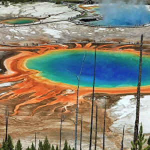
> Yellowstone National Park
> North America
> United States of America
> Wyoming
> Related Images
EDITORS COMMENTS
This stunning engraving from the 10th edition of Encyclopaedia Britannica showcases a detailed map of Idaho and Wyoming circa 1900. The intricate cartography, done in a 19th-century style, highlights the boundary lines and geographical features of these two western states in the United States.
The inset map of Yellowstone National Park adds an extra layer of historical significance to this print, offering a glimpse into one of America's most iconic national parks as it appeared over a century ago. The old-fashioned charm of this illustration transports viewers back in time to an era of exploration and discovery.
As we study this map, we are reminded of the importance of guidance and navigational tools in the past. The delicate lines and intricate details serve as a testament to the skill and precision required to create such maps before modern technology made mapping more accessible.
This piece is not just a representation of physical geography; it is also a window into history, showcasing state borders, national parks, and landmarks that have shaped the landscape we know today. It serves as both an educational tool and a work of art, capturing the essence of Idaho and Wyoming at the turn-of-the-century with unparalleled beauty.
MADE IN THE USA
Safe Shipping with 30 Day Money Back Guarantee
FREE PERSONALISATION*
We are proud to offer a range of customisation features including Personalised Captions, Color Filters and Picture Zoom Tools
SECURE PAYMENTS
We happily accept a wide range of payment options so you can pay for the things you need in the way that is most convenient for you
* Options may vary by product and licensing agreement. Zoomed Pictures can be adjusted in the Cart.