
Wall Art and Photo Gifts from Fine Art Storehouse
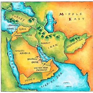
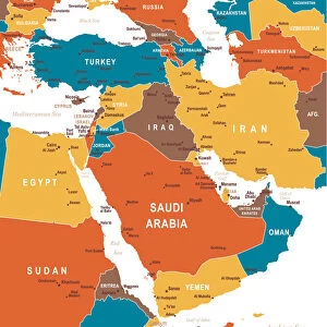
Map of Middle East - illustration
Colored Map of Middle East Asia with Country Names and Capital Cities
Unleash your creativity and transform your space into a visual masterpiece!
Media ID 13880195
FEATURES IN THESE COLLECTIONS
> Asia
> Related Images
> Fine Art Storehouse
> Map
> Historical Maps
> Fine Art Storehouse
> Map
> Maps and Charts
> Related Images
MADE IN THE USA
Safe Shipping with 30 Day Money Back Guarantee
FREE PERSONALISATION*
We are proud to offer a range of customisation features including Personalised Captions, Color Filters and Picture Zoom Tools
SECURE PAYMENTS
We happily accept a wide range of payment options so you can pay for the things you need in the way that is most convenient for you
* Options may vary by product and licensing agreement. Zoomed Pictures can be adjusted in the Cart.
redeem
Beautiful Photo Prints and Gifts
image
Professionally Printed
inventory
Photo Prints are in stock
thumb_up
Professional quality finish
diamond
Made with high-grade materials
inventory_2
Carefully packed to aid safe arrival
Related Images
Map of the Middle East
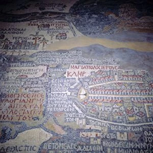
Madaba Mosaic Map, 6th century AD, detail showing Jerusalem, Madaba, Jordan
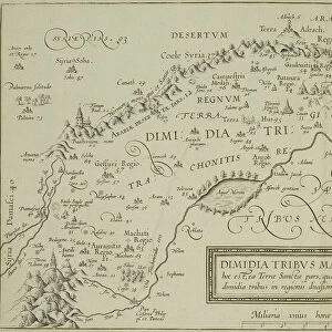
Antique map of the holy land with the Sea of Galilee

Map of Middle East - illustration
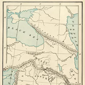
Ancient Mesopotamia

Medieval Europe at the start of the Crusades
Colored Map of Middle East
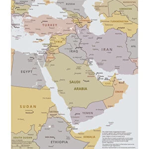
Political map of The Middle East
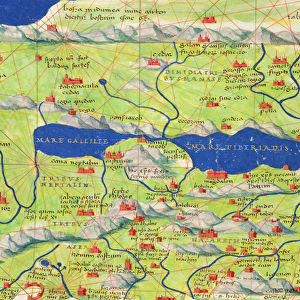
The Sea of Galilee, from an Atlas of the World in 33 Maps, Venice, 1st September 1553

Wenger Vieira 2 040516AFC. jpg

Chiswick House K020290

Wrest Park House and Gardens K960696
Related Collections

Map
Browse 9,858 Prints

Asia Related Images
Browse 40,980 Prints

Maps and Charts Related Images
Browse 46,916 Prints

Historical Maps
Browse 3,309 Prints

