Home > Europe > United Kingdom > England > Bristol > Bristol
CT Hartford Bristol Vector Road Map

![]()
Wall Art and Photo Gifts from Fine Art Storehouse
CT Hartford Bristol Vector Road Map
CT Hartford Bristol Vector Road Map. All source data is in the public domain. U.S. Census Bureau Census Tiger. Used Layers: areawater, linearwater, roads, rails, cousub, pointlm, uac10
Unleash your creativity and transform your space into a visual masterpiece!
Frank Ramspott
Media ID 20688127
© Frank Ramspott, all rights reserved
Bristol City Map Computer Graphic Connecticut County Digital Composite District Geographical Border Hartford Road Map Text Vector Digitally Generated Image Edgewood
FEATURES IN THESE COLLECTIONS
> Animals
> Mammals
> Cats (Wild)
> Tiger
> Animals
> Mammals
> Muridae
> Water Mouse
> Arts
> Contemporary art
> Digital artwork
> Street art
> Arts
> Landscape paintings
> Waterfall and river artworks
> River artworks
> Arts
> Portraits
> Pop art gallery
> Street art portraits
> Arts
> Street art graffiti
> Digital art
> Digital paintings
> Europe
> United Kingdom
> England
> Bristol
> Bristol
> Fine Art Storehouse
> Map
> Reference Maps
> Maps and Charts
> Related Images
> North America
> United States of America
> Connecticut
> Hartford
> Popular Themes
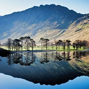
> Lake District
EDITORS COMMENTS
This print showcases the intricate details of a CT Hartford Bristol Vector Road Map. With all source data in the public domain, this visually stunning piece is a testament to the artistry of cartography and design. Digitally generated and devoid of any human presence, it offers a unique perspective on Connecticut's geographical landscape. The vibrant colors and precise vector lines bring this map to life, highlighting various elements such as roads, rails, rivers, lakes, and towns. The artist skillfully combines layers including areawater, linearwater, roads, rails, cousub (county subdivisions), pointlm (landmarks), and uac10 (urban areas) from U. S. Census Bureau Census Tiger data. From bustling cities like Hartford to charming towns like Bristol and Edgewood; from serene Whigville to majestic Fall Mountain; every corner of this region is meticulously depicted with utmost accuracy. The inclusion of text adds further context by labeling key features for easy navigation. With its digital composite nature and emphasis on physical geography, this artwork seamlessly blends technology with artistic vision. It serves as both an informative tool for travelers seeking directions and an aesthetically pleasing visual representation that can be appreciated purely for its beauty. Frank Ramspott's masterful creation invites viewers into the world of cartographic artistry while reminding us that even in our increasingly digital age, traditional maps still hold immense value in understanding our surroundings.
MADE IN THE USA
Safe Shipping with 30 Day Money Back Guarantee
FREE PERSONALISATION*
We are proud to offer a range of customisation features including Personalised Captions, Color Filters and Picture Zoom Tools
SECURE PAYMENTS
We happily accept a wide range of payment options so you can pay for the things you need in the way that is most convenient for you
* Options may vary by product and licensing agreement. Zoomed Pictures can be adjusted in the Cart.