
1675 1726 Collection
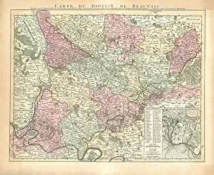
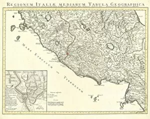
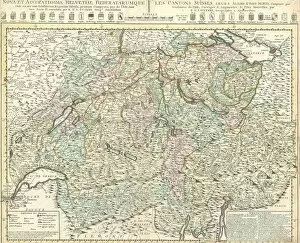
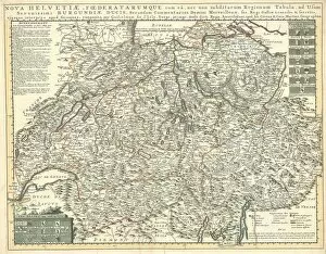
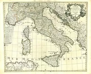
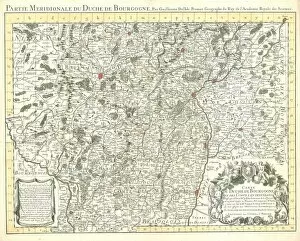
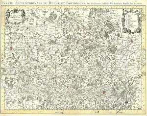
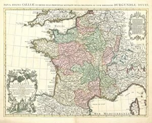
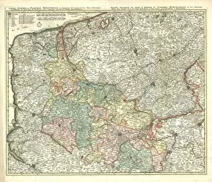
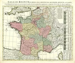
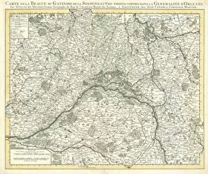
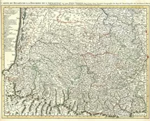
"Exploring the World Through Guillaume Delisle's Maps (1675-1726)" Step into the past with these exquisite copperplate prints by cartographer Guillaume Delisle


For sale as Licensed Images
Choose your image, Select your licence and Download the media
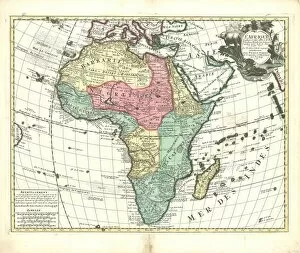
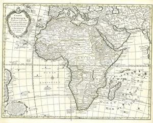
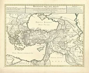
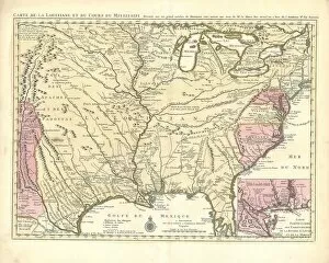
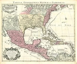
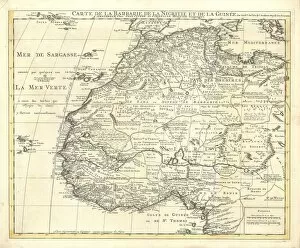
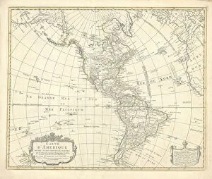
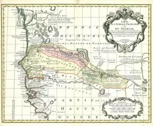
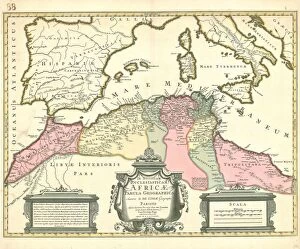
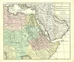
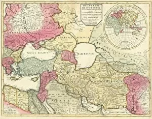
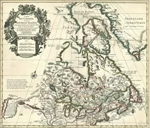
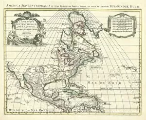
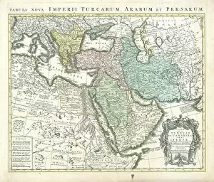
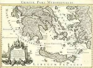
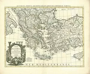
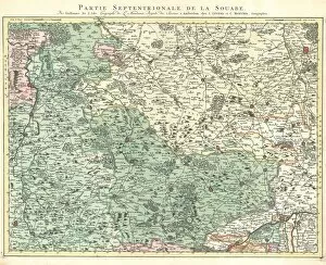
"Exploring the World Through Guillaume Delisle's Maps (1675-1726)" Step into the past with these exquisite copperplate prints by cartographer Guillaume Delisle. From his detailed maps of Africa to his intricate depictions of America and beyond, Delisle's work offers a fascinating glimpse into the world as it was in the late 17th and early 18th centuries. Delve into "Map L Afrique, " where you can trace the contours of this vast continent as seen through Delisle's eyes. Marvel at "Carte d Afrique, " which showcases his meticulous attention to detail in capturing its diverse regions. And don't miss "Retraite des dix mille, " a map that chronicles one of history's most epic military campaigns. Travel across oceans with "Carte de la Louisiane et du cours du Mississipi" and "Carte du Mexique et de la Floride des Terres Angloises et des Is. " These maps not only depict geographical features but also provide insights into colonial territories during this era. Explore North Africa with "Carte de la Barbarie de la Nigritie et de la Guinée, " or venture further westward with "Carte d Amerique divisée en ses principales parties. " These maps offer glimpses into European exploration and colonization efforts during this time period. Discover lesser-known corners of the world, such as Senegal in "Carte de l Afrique Française ou du Sénégal. " Uncover ecclesiastical knowledge with the intriguingly titled map, "Notitiam Ecclesiasticam Africae Tabula Geographica. " Immerse yourself in African landscapes through Delisle's masterful rendering of places like Congo and Cafres in "Carte du Congo et du pays des cafres Guillaume Delisle.