
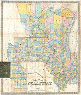
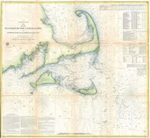
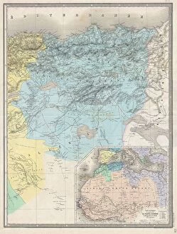
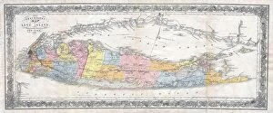
1857 Collection (page 6)
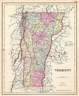
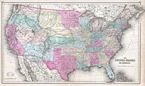
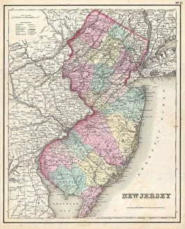
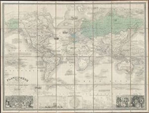
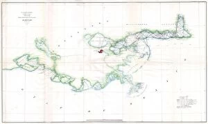
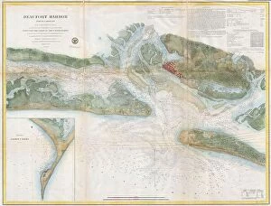
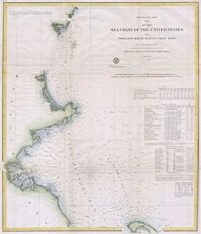
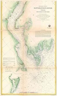
Exploring the landscapes of 1857: From Cornwall to Norfolk, Isle of Wight to Derbyshire, this map takes us on a journey through time


For sale as Licensed Images
Choose your image, Select your licence and Download the media
Exploring the landscapes of 1857: From Cornwall to Norfolk, Isle of Wight to Derbyshire, this map takes us on a journey through time. Alongside it, we encounter the remarkable Isambard Kingdom Brunel, an English engineer whose visionary work shaped our world. The captivating scenes from Somerset and Suffolk in 1857 remind us of the beauty that has long graced these regions. Meanwhile, Fred Archer gallops into view as a celebrated jockey, leaving his mark on horse racing history. As we delve deeper into history, we stumble upon 'Our Little Contemptibles' - a poignant reference to those who bravely served during World War I in 1914. Crystal Palace witnesses Spurgeon's powerful sermons while Millet's Gleaners painting captures the essence of hard work and resilience. Lastly, George Gissing's photograph transports us back to 1895 with its timeless charm and elegance.