
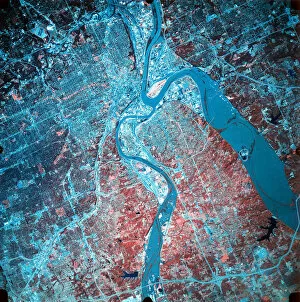
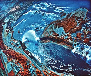
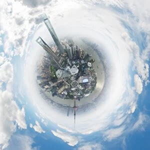
Aerial Photography Collection (#9)
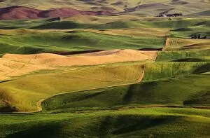
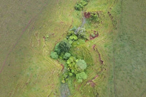
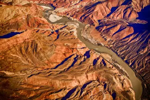
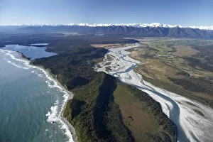
Capturing the world from above, aerial photography unveils breathtaking vistas and hidden wonders


For sale as Licensed Images
Choose your image, Select your licence and Download the media
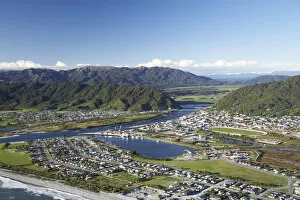
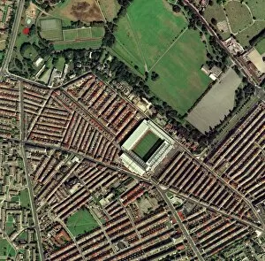
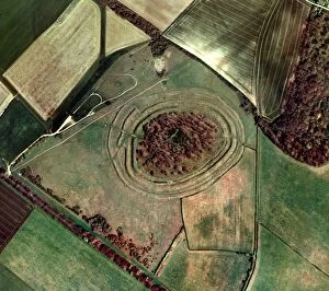
Capturing the world from above, aerial photography unveils breathtaking vistas and hidden wonders. In the heart of Wimbledon's tennis complex in the UK, a bird's-eye view reveals meticulously maintained courts awaiting fierce battles. Meanwhile, synchronized swimmers gracefully glide through sparkling waters in Sheffield, UK, their movements forming an exquisite dance. Venturing further afield to Tongariro National Park's Central Plateau on New Zealand's North Island, Mt Ruapehu stands tall alongside the majestic Grand Chateau. The snow-capped peaks and lush landscapes create a picture-perfect scene that seems straight out of a fairytale. Across continents to Adelaide in South Australia, we soar over Adelaide Oval with its sprawling River Torrens and bustling Central Business District below. The cityscape unfolds like an intricate tapestry against nature's backdrop. In San Francisco, California, Lombard Street claims fame as the "world's crookedest street. " From above, its winding path resembles an artist's brushstroke on a canvas. Nearby lies AT&T Park or Giants Ballpark - home to San Francisco baseball enthusiasts who gather beneath our lens for thrilling games under sunny skies. Queenstown and Lake Wakatipu grace our vision next as we hover over New Zealand's South Island. This aerial perspective showcases nature at its finest – serene blue waters surrounded by rugged mountains and verdant forests that beckon adventurers from afar. Avebury ring emerges mysteriously before us; this ancient stone circle holds secrets from centuries past within its enigmatic structure. As we continue our journey across England to Newcastle United’s St James Park Stadium – where passionate fans unite to cheer on their beloved team – excitement fills the air both on and off the pitch. The Firth of Forth captivates us next with its captivating beauty captured by satellite imagery. Its vast expanse merges land and sea seamlessly while inviting exploration into unknown depths beyond what meets the eye.