
Atlas Book Of Maps Collection
The Atlas Book of Maps takes you on a captivating journey through time and space, showcasing some of the most remarkable cartographic masterpieces in history


For sale as Licensed Images
Choose your image, Select your licence and Download the media
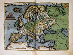
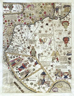
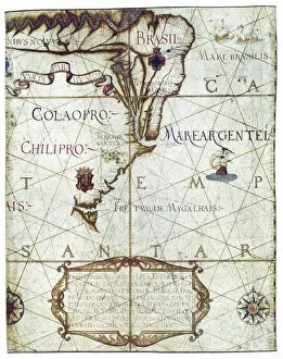
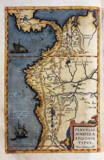
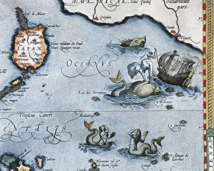
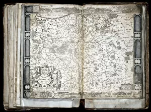
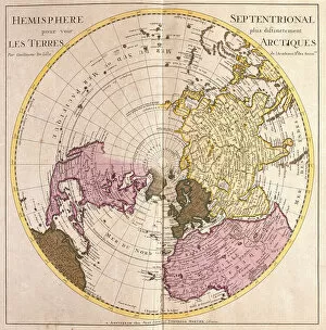
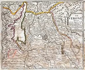
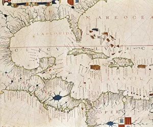
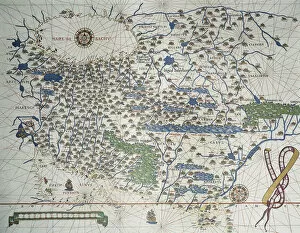
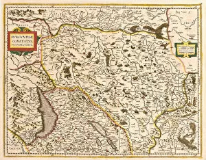
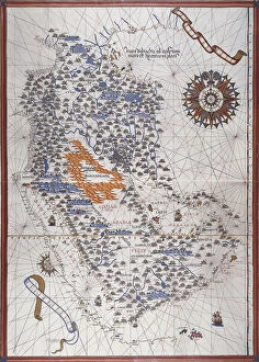
The Atlas Book of Maps takes you on a captivating journey through time and space, showcasing some of the most remarkable cartographic masterpieces in history. From the earliest known separate map of the island of Ireland in 1468 to the detailed Map of China (Cathay) with its intricate descriptions and sovereign representations from 1375, this collection is a treasure trove for any geography enthusiast. One cannot help but be mesmerized by the vibrant ink and color on vellum that brings to life the Portolan Atlas's depiction of Ireland or Christophe Plantin's Map of the Caribbean Sea from 1588. The colored etching capturing Europe's diverse landscapes also captivates our imagination, transporting us back to an era where exploration was at its peak. The Catalan map offers a unique perspective on the European continent, highlighting both the Atlantic and Mediterranean Seas. Meanwhile, Hernando de Soto's expedition records provide valuable insights into Peru's geographical features during his explorations in 1570. As we delve further into this atlas, we encounter fascinating maps such as one depicting South America in Universa ac Navigabilis Totius Terrarum Orbis Descriptio from 1559. Its vivid colors and meticulous details make it truly awe-inspiring. A standout piece within this collection is undoubtedly Josse de Hond's Carte de la Pologne - Nova Poloniae delineation - which showcases Poland in all its glory. This gravure masterpiece transports us to seventeenth-century Poland with its exquisite detail and precision. Moving forward through time, we come across Strong Water's Arctic Land Description from 1730—a map that reveals intriguing aspects about Earth’s Northern Hemisphere while simultaneously piquing our curiosity about unexplored territories. Lastly, Johannes Blaeu’s America sive India Nova presents an enchanting vision of what was then considered New India.