
Bangladesh Collection (#31)
Bangladesh, formerly known as East Bengal during the British India era, is a country rich in history and vibrant culture


For sale as Licensed Images
Choose your image, Select your licence and Download the media
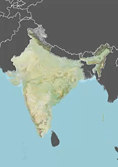
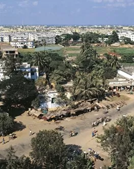
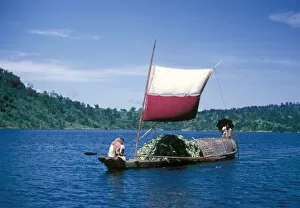
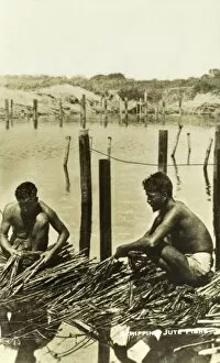
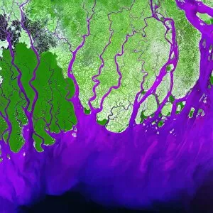
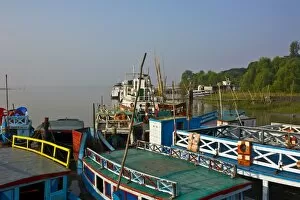
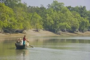
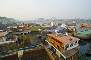
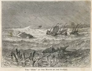
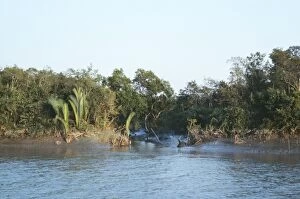
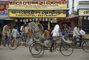
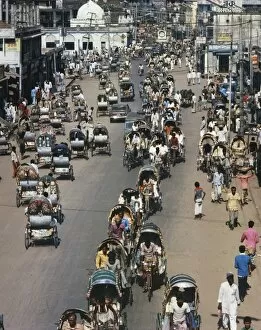
Bangladesh, formerly known as East Bengal during the British India era, is a country rich in history and vibrant culture. Located in Asia, this South Asian nation has a fascinating past that can be traced back to its roots. One of the distinctive features is its colourful bicycle rickshaws that adorn the streets of Dhaka, the capital city. These eye-catching vehicles not only serve as a mode of transportation but also add charm and character to the bustling cityscape. When looking at a map of Bangladesh, one can see its close proximity to India. The two countries share borders and have intertwined histories. Illustrated maps showcasing their distinguishing features highlight their unique cultural heritage. In 1902, Bengal was divided into different provinces including North West Bengal, Central Bengal, and Assam. This historical map gives us insight into how boundaries were defined during that time period. Dhaka's busy streets are often filled with rickshaw traffic as people go about their daily lives. It's an energetic scene that captures the essence of urban life in Bangladesh. Venturing outside the cities reveals breathtaking natural beauty such as Satla in Barisal where canals adorned with water lilies create a picturesque landscape. In Sirajganj, boatmen navigate through rivers covered in algae while transporting goods or passengers - a common sight along Bangladesh's waterways. Khulna offers an urban street scene with diverse activities taking place at every corner. From bustling markets to lively conversations on street corners, this city showcases the vibrancy found throughout Bangladesh. Buffalos are an integral part of rural life in many parts of Bangladesh; they play significant roles in agriculture and contribute to sustaining livelihoods for local communities. The 201 Dome Mosque stands tall as an architectural marvel within Bangladeshi landscapes - it serves both religious purposes and attracts visitors from near and far who admire its grandeur. Finally, Dhaka's skyline paints a modern picture of progress and development.