
Bank Street Collection

"Discover the charm of Bank Street: A journey through diverse cities and historic landmarks

Background imageBank Street Collection: Leeds LS27 9 Map

Leeds LS27 9 Map
Postcode Sector Map of Leeds LS27 9

Background imageBank Street Collection: Wolverhampton WV10 9 Map

Wolverhampton WV10 9 Map
Postcode Sector Map of Wolverhampton WV10 9

Background imageBank Street Collection: Wigan WN5 9 Map

Wigan WN5 9 Map
Postcode Sector Map of Wigan WN5 9

Background imageBank Street Collection: Barnsley S70 4 Map

Barnsley S70 4 Map
Postcode Sector Map of Barnsley S70 4

Background imageBank Street Collection: St. Helens WA10 3 Map

St. Helens WA10 3 Map
Postcode Sector Map of St. Helens WA10 3

Background imageBank Street Collection: Newport NP19 7 Map

Newport NP19 7 Map
Postcode Sector Map of Newport NP19 7

Background imageBank Street Collection: Manchester M11 4 Map

Manchester M11 4 Map
Postcode Sector Map of Manchester M11 4

Background imageBank Street Collection: Maidstone ME14 1 Map

Maidstone ME14 1 Map
Postcode Sector Map of Maidstone ME14 1

Background imageBank Street Collection: Salford M7 4 Map

Salford M7 4 Map
Postcode Sector Map of Salford M7 4

Background imageBank Street Collection: Comhairle nan Eilean Siar HS1 2 Map

Comhairle nan Eilean Siar HS1 2 Map
Postcode Sector Map of Comhairle nan Eilean Siar HS1 2

Background imageBank Street Collection: Highland IV20 1 Map

Highland IV20 1 Map
Postcode Sector Map of Highland IV20 1

Background imageBank Street Collection: South Derbyshire DE11 9 Map

South Derbyshire DE11 9 Map
Postcode Sector Map of South Derbyshire DE11 9

Background imageBank Street Collection: Dudley DY5 1 Map

Dudley DY5 1 Map
Postcode Sector Map of Dudley DY5 1

Background imageBank Street Collection: Dundee DD1 1 Map

Dundee DD1 1 Map
Postcode Sector Map of Dundee DD1 1

Background imageBank Street Collection: Blackburn with Darwen BB3 2 Map

Blackburn with Darwen BB3 2 Map
Postcode Sector Map of Blackburn with Darwen BB3 2

Background imageBank Street Collection: Plan for Opening a Communication between the North and South Sides of the City by Means of a Bridge

Plan for Opening a Communication between the North and South Sides of the City by Means of a Bridge
5202969 Plan for Opening a Communication between the North and South Sides of the City by Means of a Bridge, entering the Lawnmarket nearly Opposite Bank Street (engraving) by English School

Background imageBank Street Collection: Wakefield WF5 8 Map

Wakefield WF5 8 Map
Postcode Sector Map of Wakefield WF5 8

Background imageBank Street Collection: Wakefield WF4 6 Map

Wakefield WF4 6 Map
Postcode Sector Map of Wakefield WF4 6

Background imageBank Street Collection: Wakefield WF1 1 Map

Wakefield WF1 1 Map
Postcode Sector Map of Wakefield WF1 1

Background imageBank Street Collection: Shropshire WV16 4 Map

Shropshire WV16 4 Map
Postcode Sector Map of Shropshire WV16 4

Background imageBank Street Collection: Wolverhampton WV14 8 Map

Wolverhampton WV14 8 Map
Postcode Sector Map of Wolverhampton WV14 8

Background imageBank Street Collection: Wolverhampton WV14 9 Map

Wolverhampton WV14 9 Map
Postcode Sector Map of Wolverhampton WV14 9

Background imageBank Street Collection: Redcar & Cleveland TS14 7 Map

Redcar & Cleveland TS14 7 Map
Postcode Sector Map of Redcar & Cleveland TS14 7

Background imageBank Street Collection: Redcar & Cleveland TS10 3 Map

Redcar & Cleveland TS10 3 Map
Postcode Sector Map of Redcar & Cleveland TS10 3

Background imageBank Street Collection: Wigan WA3 5 Map

Wigan WA3 5 Map
Postcode Sector Map of Wigan WA3 5

Background imageBank Street Collection: Wigan WA3 3 Map

Wigan WA3 3 Map
Postcode Sector Map of Wigan WA3 3

Background imageBank Street Collection: Warrington WA1 2 Map

Warrington WA1 2 Map
Postcode Sector Map of Warrington WA1 2

Background imageBank Street Collection: Worcester WR1 2 Map

Worcester WR1 2 Map
Postcode Sector Map of Worcester WR1 2

Background imageBank Street Collection: Cornwall TR7 1 Map

Cornwall TR7 1 Map
Postcode Sector Map of Cornwall TR7 1

Background imageBank Street Collection: Cornwall TR9 6 Map

Cornwall TR9 6 Map
Postcode Sector Map of Cornwall TR9 6

Background imageBank Street Collection: Ashford TN23 1 Map

Ashford TN23 1 Map
Postcode Sector Map of Ashford TN23 1

Background imageBank Street Collection: Eastleigh SO32 1 Map

Eastleigh SO32 1 Map
Postcode Sector Map of Eastleigh SO32 1

Background imageBank Street Collection: Scottish Borders TD1 1 Map

Scottish Borders TD1 1 Map
Postcode Sector Map of Scottish Borders TD1 1

Background imageBank Street Collection: Tameside SK14 2 Map

Tameside SK14 2 Map
Postcode Sector Map of Tameside SK14 2

Background imageBank Street Collection: High Peak SK13 8 Map

High Peak SK13 8 Map
Postcode Sector Map of High Peak SK13 8

Background imageBank Street Collection: Tameside SK14 6 Map

Tameside SK14 6 Map
Postcode Sector Map of Tameside SK14 6

Background imageBank Street Collection: High Peak SK13 1 Map

High Peak SK13 1 Map
Postcode Sector Map of High Peak SK13 1

Background imageBank Street Collection: High Peak SK22 2 Map

High Peak SK22 2 Map
Postcode Sector Map of High Peak SK22 2

Background imageBank Street Collection: Wiltshire SN12 6 Map

Wiltshire SN12 6 Map
Postcode Sector Map of Wiltshire SN12 6

Background imageBank Street Collection: Malvern Hills WR14 2 Map

Malvern Hills WR14 2 Map
Postcode Sector Map of Malvern Hills WR14 2

Background imageBank Street Collection: Wigan WN2 5 Map

Wigan WN2 5 Map
Postcode Sector Map of Wigan WN2 5

Background imageBank Street Collection: Walsall WS1 2 Map

Walsall WS1 2 Map
Postcode Sector Map of Walsall WS1 2

Background imageBank Street Collection: Kirklees WF15 6 Map

Kirklees WF15 6 Map
Postcode Sector Map of Kirklees WF15 6

Background imageBank Street Collection: Kirklees WF14 9 Map

Kirklees WF14 9 Map
Postcode Sector Map of Kirklees WF14 9

Background imageBank Street Collection: Kirklees WF12 7 Map

Kirklees WF12 7 Map
Postcode Sector Map of Kirklees WF12 7

Background imageBank Street Collection: Wakefield WF10 1 Map

Wakefield WF10 1 Map
Postcode Sector Map of Wakefield WF10 1

Background imageBank Street Collection: Cannock Chase WS12 2 Map

Cannock Chase WS12 2 Map
Postcode Sector Map of Cannock Chase WS12 2

Background imageBank Street Collection: Barnsley S74 9 Map

Barnsley S74 9 Map
Postcode Sector Map of Barnsley S74 9


For sale as Licensed Images

Choose your image, Select your licence and Download the media

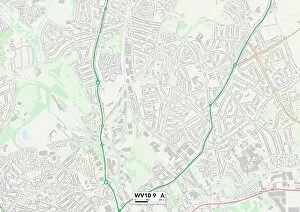
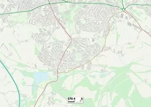
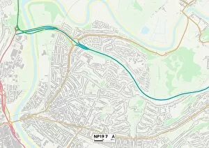
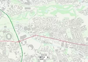
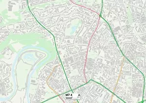
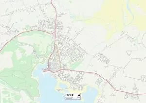
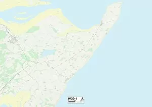
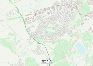
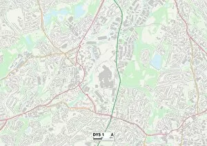
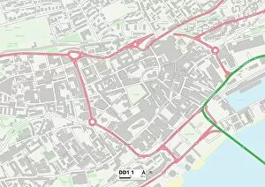
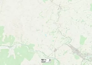
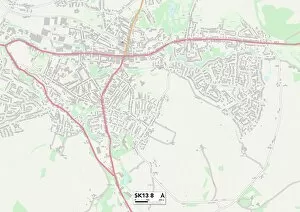
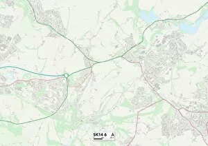
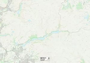
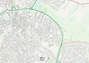
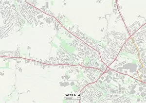
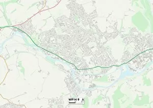
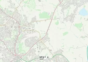
"Discover the charm of Bank Street: A journey through diverse cities and historic landmarks. " Embark on a captivating adventure as you explore the enchanting Bank Street, connecting various vibrant locations across the UK. From Leeds LS27 9 to Wolverhampton WV10 9, Barnsley S70 4 to Newport NP19 7, and Maidstone ME14 1 to Salford M7 4 – each destination holds its own unique allure. Immerse yourself in history as you stroll along Bank Street's path, tracing its roots back to a significant plan for opening communication between the north and south sides of a city. The engraving depicting this visionary bridge entering the Lawnmarket nearly opposite Bank Street serves as a testament to human ingenuity. Venture further into Highland IV20 1 and South Derbyshire DE11 9, where picturesque landscapes await your exploration. Marvel at nature's beauty while relishing in tranquil moments amidst breathtaking surroundings. It also leads you to Dudley DY5 1 and Dundee DD1 1 – two cities brimming with cultural richness. Delve into their heritage by visiting museums, art galleries, or indulging in local delicacies that will tantalize your taste buds. As your journey nears its end, make sure not to miss Wakefield WF5 8 - an idyllic town known for its warm hospitality and charming atmosphere. Engage with friendly locals who are always ready to share stories about their beloved hometown. Soak up the essence of diversity along Bank Street; it is more than just a name on a map—it is an invitation to embark on an unforgettable expedition through time-honored streetscapes and remarkable destinations.