
Barn Close Collection (#2)
"Barn Close: Discover the Charm of Rural Living" Escape the hustle and bustle of city life and immerse yourself in the tranquil beauty of Barn Close


For sale as Licensed Images
Choose your image, Select your licence and Download the media
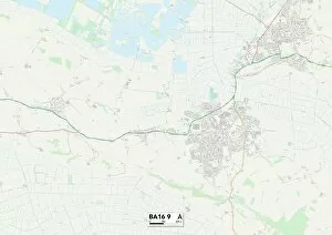
"Barn Close: Discover the Charm of Rural Living" Escape the hustle and bustle of city life and immerse yourself in the tranquil beauty of Barn Close. Nestled in various locations across England, from Lichfield to Somerset, this collection of idyllic barn conversions offers a unique opportunity to experience country living at its finest. Located on the outskirts of Lichfield (WS13 7 Map), Worcester (WR2 4 Map), Staffordshire (ST17 9 Map), Bassetlaw (S81 0 Map), Vale of White Horse (OX12 0 Map) and Hertsmere (WD7 8 Map), each Barn Close property is surrounded by picturesque landscapes that showcase nature's splendor. Wake up to breathtaking views, with rolling hills or lush meadows stretching as far as the eye can see. Step inside these beautifully restored barns and be greeted by a harmonious blend of rustic charm and modern comfort. Exposed wooden beams, stone walls, and cozy fireplaces create an inviting atmosphere that instantly makes you feel at home. The interiors are thoughtfully designed with spacious layouts, ensuring ample room for relaxation or entertaining loved ones. Whether you're seeking a peaceful retreat or an active lifestyle, it has something for everyone. Explore nearby walking trails in Spelthorne (TW15 1 Map) or Somerset (TA18 8 Map) where you can reconnect with nature while breathing in fresh countryside air. For those who enjoy golfing or horse riding, South Somerset (TA11 6 Map) offers excellent facilities just a short distance away. Conveniently located within easy reach of major towns such as Reigate and Banstead (SM7 3 Map), High Peak (SK13 8Map), and South Buckinghamshire (SL2-3Map); residents have access to a range of amenities including shopping centers, restaurants, and cultural attractions without sacrificing their rural lifestyle.