
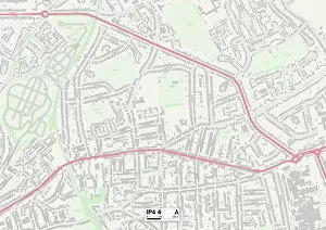
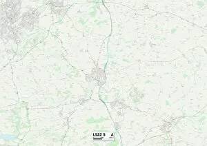
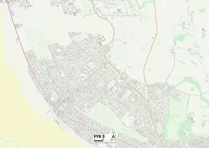
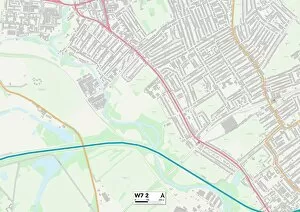
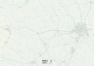
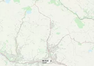
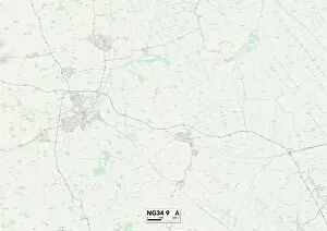
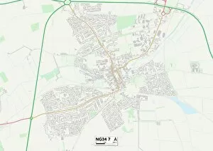
Boston Road Collection
"Exploring the diverse landscapes along Boston Road, from Ipswich to Leeds and beyond


For sale as Licensed Images
Choose your image, Select your licence and Download the media
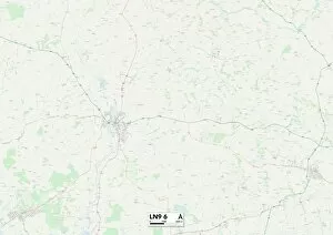
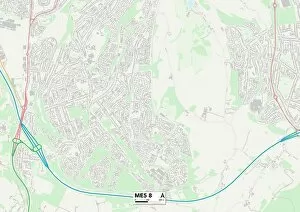
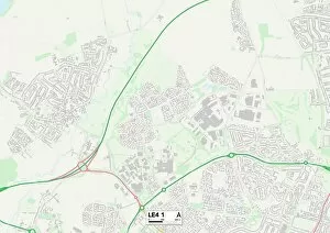
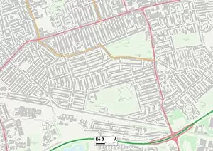
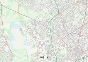
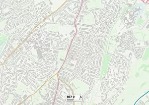
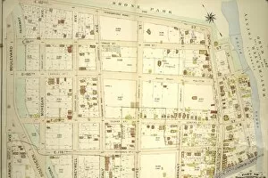
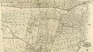
"Exploring the diverse landscapes along Boston Road, from Ipswich to Leeds and beyond. 🚗✨ Discover picturesque towns like Fylde and Ealing on your journey through South Oxfordshire and Hampshire. 🌳🏘️ Immerse yourself in the charm of Mid Sussex and Cherwell, where history meets modernity. ⛪🏰 Venture into the scenic East Lindsey region, with its stunning natural beauty. 🌾 And finally, arrive at the heart of it all - Boston. Experience the rich heritage of this historic town as you navigate through its various neighborhoods. 🏡🗺️ Whether you're a local or a traveler passing by, Boston Road promises an unforgettable adventure filled with captivating sights and hidden gems waiting to be discovered. ✨🌟 #BostonRoadAdventures #ExploreTheJourney"