
Broomhill Collection
"Broomhill: A Historic Neighborhood with a Rich Tapestry of Landmarks and Institutions" Discover the charm and history of Broomhill


For sale as Licensed Images
Choose your image, Select your licence and Download the media
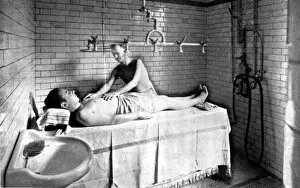
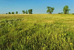
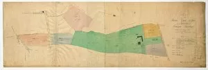
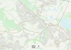
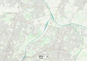
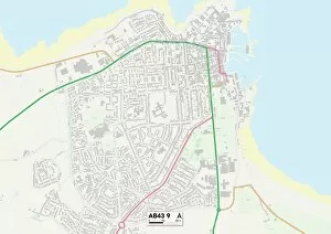
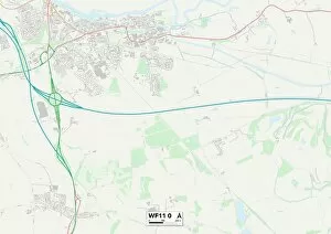
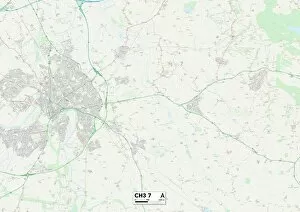
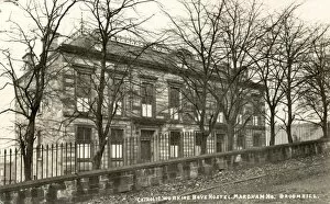
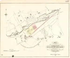
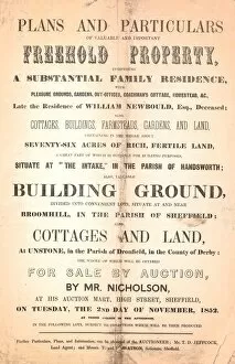
"Broomhill: A Historic Neighborhood with a Rich Tapestry of Landmarks and Institutions" Discover the charm and history of Broomhill, an enchanting neighborhood nestled in Sheffield. From its beginnings as a thriving estate to its present-day allure, it has captivated locals and visitors alike. Let's delve into the fascinating hints that paint a vivid picture of this remarkable area. Immerse yourself in relaxation at Glossop Road Baths, where massage treatments transport you to a world of tranquility. Unwind amidst the soothing waters and experience true bliss in the heart of Broomhill. Travel back in time with the Ordnance Survey Map from 1889, which showcases Broomhill's evolution over the years. Explore every nook and cranny of this Yorkshire sheet, discovering hidden gems along your journey. Step even further into history with the Plan of Broomgrove estate from 1830. This blueprint offers insights into how life unfolded within these hallowed grounds centuries ago – a testament to Broomhill's enduring legacy. Venture beyond Sheffield as we explore Barnsley S73 0 Map, Bristol BS16 1 Map, and Aberdeenshire AB43 9 Map. These glimpses into other regions remind us that while each place is unique, they all share their own version of beauty – just like our beloved Broomhill. Marvel at architectural wonders such as J. G Graves Ltd Offices on Westville or Durham Road/Glossop Lane. These structures stand tall as testaments to human ingenuity and progress within this vibrant community. Education takes center stage at Beech Hill Road's iconic institution - Broomhill School. Its architecturally stunning design dating back to 1874 continues to inspire generations through knowledge acquisition and personal growth. Nature enthusiasts will find solace amidst rolling countryside near Mid Devon's Summer crop field – an idyllic scene that perfectly complements Broomhill's picturesque surroundings.