
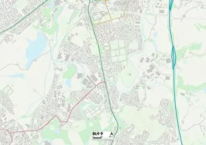
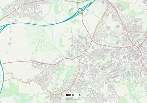
Burns Avenue Collection
Burns Avenue is a bustling street that stretches across various parts of the United Kingdom, connecting Wolverhampton to Wigan, Staffordshire to Hounslow


For sale as Licensed Images
Choose your image, Select your licence and Download the media
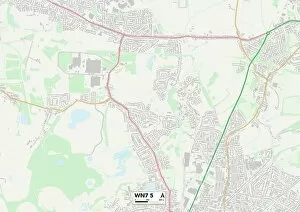
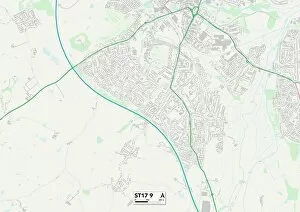
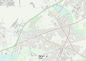
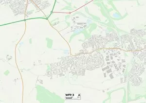
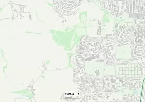
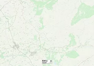
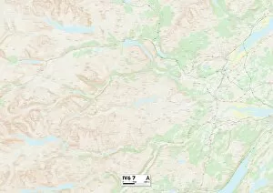
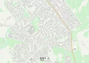
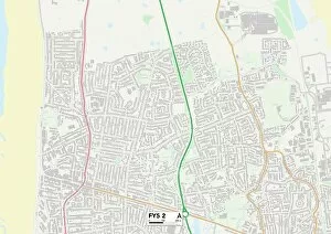
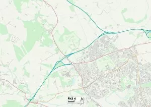
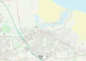
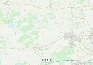
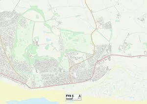
Burns Avenue is a bustling street that stretches across various parts of the United Kingdom, connecting Wolverhampton to Wigan, Staffordshire to Hounslow. This diverse avenue weaves through different landscapes and communities, showcasing the rich tapestry of British life. Starting in Wolverhampton (WV10 8), Burns Avenue sets off on its journey with an air of excitement. The map reveals a vibrant neighborhood filled with shops, restaurants, and friendly faces. As you follow the road towards Wigan (WN7 5), you'll notice how it seamlessly transitions into a more industrial area dotted with factories and warehouses. Continuing onwards, Burns Avenue takes us through Staffordshire (ST17 9) where picturesque countryside views greet travelers along the way. Rolling hills and quaint villages provide a peaceful respite from the hustle and bustle of city life. As we approach Hounslow (TW14 9) in West London's boroughs, Burns Avenue transforms once again into an urban landscape buzzing with activity. Here you'll find multicultural markets offering tantalizing aromas from around the world alongside modern high-rise buildings that define this cosmopolitan district. Leaving behind Hounslow, our journey leads us to Ealing (UB1 2), where leafy green parks offer solace amidst busy streets lined with charming Victorian houses. The sense of community here is palpable as locals gather in local cafes or enjoy leisurely walks along tree-lined avenues. Further north lies Wakefield (WF9 3), where Burns Avenue intersects residential neighborhoods adorned with well-kept gardens and children playing in nearby parks. This part of town exudes warmth and tranquility—a perfect place for families to settle down. Heading northeast brings us to Hartlepool (TS25 4), known for its maritime heritage reflected in its architecture and waterfront promenades. Strolling along Burns Avenue here offers glimpses into history while enjoying breathtaking views of the sea.