
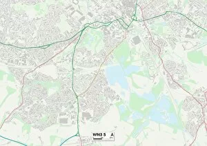
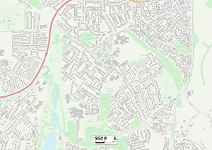
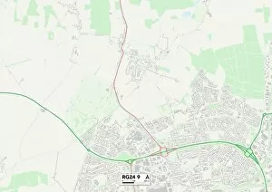
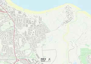
Burns Close Collection
"Burns Close: Exploring the Hidden Gems of Stevenage, Wigan, Hampshire, Newport and More


For sale as Licensed Images
Choose your image, Select your licence and Download the media
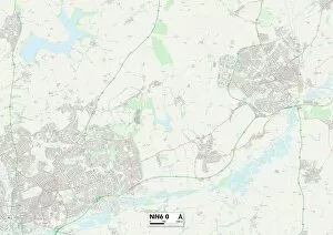
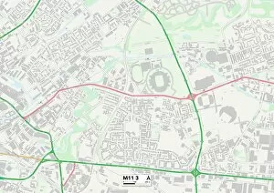
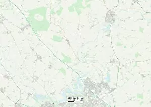
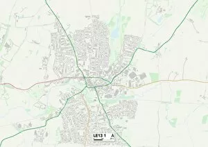
"Burns Close: Exploring the Hidden Gems of Stevenage, Wigan, Hampshire, Newport and More. " Embark on a journey through the charming streets as we uncover the diverse landscapes and vibrant communities that make up this unique collection of towns. From Stevenage's SG2 0 Map to Wigan's WN3 5 Map, each destination promises its own distinct character and allure. Nestled in Hampshire's RG24 9 Map lies a tranquil haven where nature flourishes amidst picturesque surroundings. Immerse yourself in breathtaking scenery as you explore winding trails and discover hidden gems tucked away within this idyllic countryside retreat. Venturing further south to Newport's NP20 3 Map unveils a rich tapestry of history and culture. Unearth ancient landmarks that stand as testaments to bygone eras while indulging in the warm hospitality offered by locals who proudly preserve their heritage. In Bexley's DA8 2 Map, experience an eclectic fusion of old-world charm with modern vibrancy. Stroll along bustling streets lined with quaint shops and cafes or immerse yourself in local festivities that celebrate community spirit at its finest. Maldon's CM9 6 Map beckons with its maritime allure, offering visitors a chance to soak up coastal beauty along serene shores. Lose yourself amidst stunning vistas or indulge your taste buds with delectable seafood delicacies served fresh from nearby waters. Wigan returns once more on our journey through Burns Close but this time at WN5 7 Map; here lies an energetic hub brimming with cultural experiences waiting to be discovered. Explore art galleries showcasing local talent or catch live performances that captivate audiences from near and far. Eastleigh invites you into its embrace at SO50 5 Map - a town pulsating with life. Delight in vibrant markets bursting with flavorsome produce or revel in outdoor activities set against lush greenery that offers a respite from the urban hustle.