
Charles Street Collection (#3)
Charles Street is a bustling thoroughfare that stretches across various cities and towns in the United Kingdom


For sale as Licensed Images
Choose your image, Select your licence and Download the media
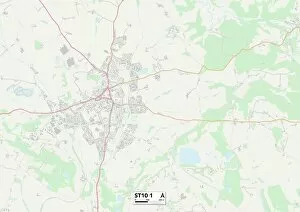
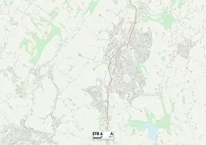
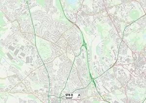
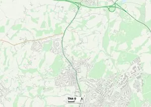
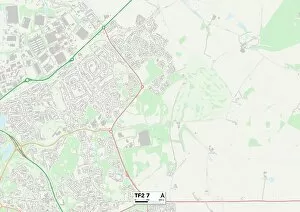
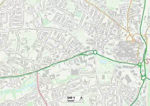
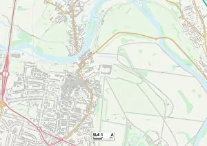
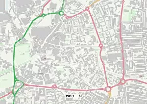
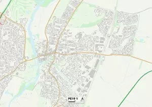
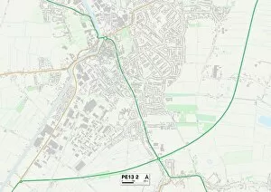
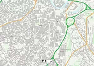
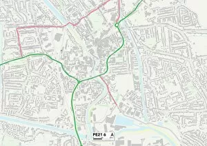
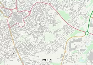
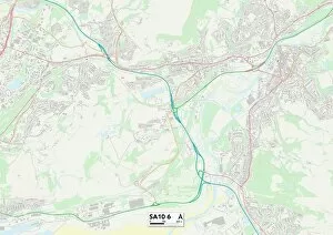
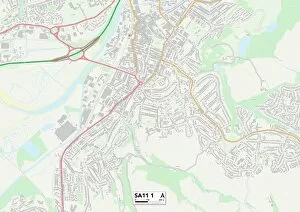
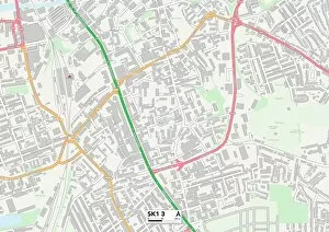
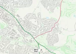
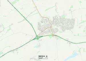
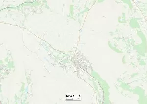
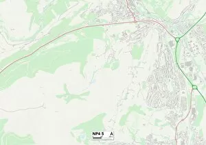
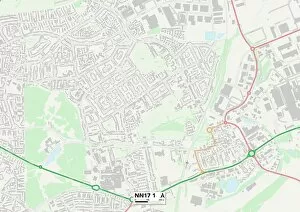
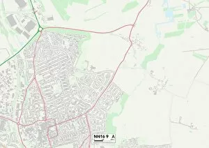
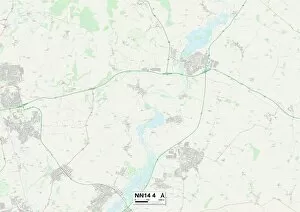
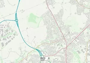
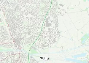
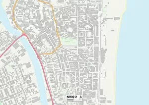
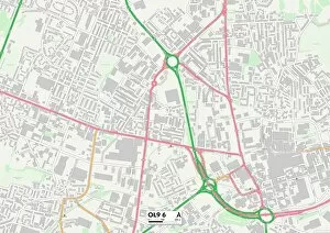
Charles Street is a bustling thoroughfare that stretches across various cities and towns in the United Kingdom. From Rhondda Cynon Taf to Lancaster, this street connects communities and serves as a hub of activity. In Rhondda Cynon Taf, Charles Street is located in CF40 2, offering residents and visitors easy access to nearby amenities and attractions. The map reveals its central location within the area, making it a convenient destination for shopping or dining. Moving northeast to Gateshead's NE8 1 Map, Charles Street continues its journey through this vibrant town. Here, locals can explore the diverse range of shops and businesses that line the street while enjoying the charm of Gateshead's urban landscape. Pendle's BB9 8 Map showcases another segment where it intersects with local landmarks. This intersection acts as a meeting point for community members who gather at nearby cafes or engage in leisurely strolls along this lively street. Further north lies Sunderland's SR1 1 Map – home to yet another section of Charles Street. With its proximity to key establishments such as restaurants and entertainment venues, residents can easily indulge in an array of activities right on their doorstep. Continuing our journey westward brings us to Walsall's WS2 9 Map where Charles Street thrives amidst a bustling commercial district. The map highlights how this vibrant stretch caters not only to shoppers but also business professionals seeking office spaces within close proximity. Wigan's WN1 2 Map presents another facet characterized by its unique blend of historical architecture and modern developments. As pedestrians traverse this charming route they can greeted by an assortment of shops showcasing both traditional wares and contemporary trends. Venturing further east leads us to Barnsley's S70 1 Map where Charles Street stands proudly at the heart of this South Yorkshire town. Its strategic location ensures that locals have easy access to essential services, making it a vital part of the community.