
Charting Collection
"Charting the Course: Navigating Through Time and Space" Embarking on a journey through history, we delve into the art of charting


For sale as Licensed Images
Choose your image, Select your licence and Download the media
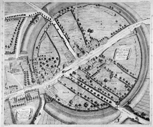
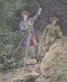
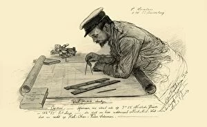
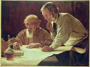
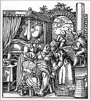
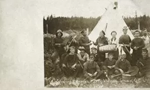
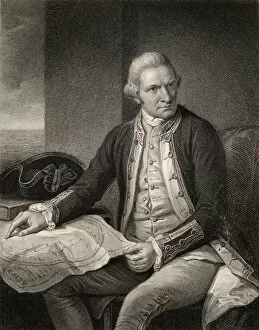
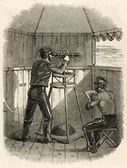
"Charting the Course: Navigating Through Time and Space" Embarking on a journey through history, we delve into the art of charting. From ancient civilizations to modern explorers, maps have been essential tools for understanding our world. The Avebury and Stukeley Map takes us back to prehistoric times, revealing the intricate knowledge of our ancestors. Intriguingly, even renowned figures like George Washington found solace in surveying as he charted his way through Virginia at just 21 years old. A young man with ambition, he set out to map uncharted territories and pave the path for future generations. The allure of exploration extends beyond land; it encompasses vast oceans too. Captain James Cook's engraved portrait reminds us of his remarkable voyages that revolutionized navigation techniques while exploring new lands. But charting is not limited to physical landscapes alone; it also delves into celestial realms. Astrologers casting horoscopes remind us that humans have long sought guidance from the stars when predicting life's mysteries. As we shift focus towards maritime adventures, "The Old Mariners" painting captures the essence of seasoned sailors who relied on charts to navigate treacherous waters. Sailors camping party in Virago Sound showcases their resilience amidst nature's challenges while plotting their next course. From sea scouts meticulously mapping routes to Hansen aboard Knivsberg documenting his voyage experiences in 1898, these stories highlight how charting has evolved over time but remains an integral part of exploration. Beyond earthly endeavors lies a broader perspective - global concerns such as climate change demand attention. The Barnardos Tree of Life symbolizes hope for a better future amidst social challenges faced by children during its creation from 1866-1906. Global warming becomes evident as we observe rising methane concentrations depicted graphically in scientific data from 2004 onwards – reminding us that accurate charts are crucial not only for navigation but also environmental awareness.