
Chesapeake Bay Collection (page 3)
"Exploring the Rich History and Natural Beauty of Chesapeake Bay" Discover the captivating allure of Chesapeake Bay


For sale as Licensed Images
Choose your image, Select your licence and Download the media
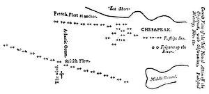
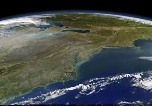
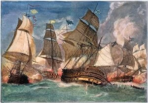
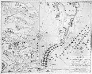
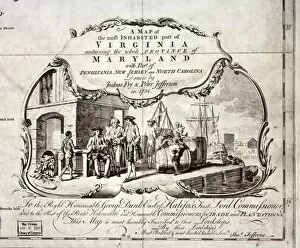
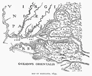
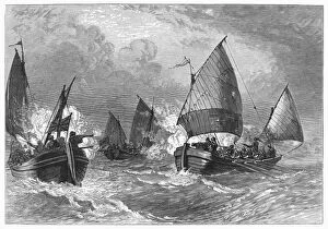
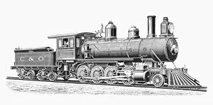
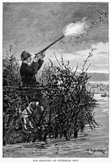
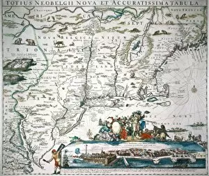
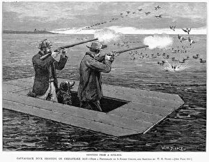
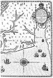
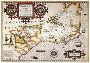
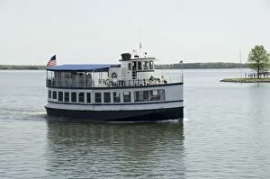
"Exploring the Rich History and Natural Beauty of Chesapeake Bay" Discover the captivating allure of Chesapeake Bay, a stunning body of water nestled between Maryland and Virginia. Steeped in history, this region has witnessed significant events that have shaped America's past. Step back in time to 1612 with Captain John Smith's map of Virginia, which provides a fascinating glimpse into the early days of exploration. Fast forward to 1738 when Maryland and Virginia were settled, marking the beginning of two states forever linked by their shared connection to this majestic bay. Immerse yourself in maritime heritage as you witness the grandeur of the tall ship Kalmar Nyckel sailing through these waters. Its impressive presence pays homage to centuries-old traditions that still thrive today. Knapps Narrows beckons adventurers seeking tranquility amidst nature's wonders. This narrow passage offers breathtaking views and serves as a gateway for unforgettable experiences along Chesapeake Bay. Delve into American history with Thomas Jefferson's meticulously drawn map showcasing Milford Haven on Chesapeake Bay during June or July 1776. Gain insight into military strategies employed during times of conflict while admiring Jefferson's cartographic skill. Experience an age-old tradition as you envision duck hunting expeditions from 1888. Picture canvas-back ducks soaring across these vast waters while hunters eagerly await their prized catch—a testament to both sport and sustenance throughout generations. Stroll through St. Michaels, a charming town steeped in maritime culture where quaint streets wind alongside picturesque waterfronts. Immerse yourself in its rich heritage, explore historic landmarks, and savor delectable seafood cuisine that showcases the bounty harvested from these very shores. Chesapeake Bay is more than just a body of water; it is an embodiment of America's past intertwined with its present beauty. From colonial explorations to modern-day adventures, this enchanting bay continues to captivate all who venture here – offering endless opportunities for discovery and awe-inspiring moments.