Church Road Collection (#21)

"Discover the spiritual journey along Church Road, as it winds through diverse landscapes and communities across the UK

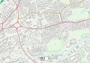
Background imageChurch Road Collection: BS Bristol, BS5 9

BS Bristol, BS5 9
BS5 9

Background imageChurch Road Collection: Eden CA9 3 Map

Eden CA9 3 Map
Postcode Sector Map of Eden CA9 3

Background imageChurch Road Collection: Allerdale CA7 5 Map

Allerdale CA7 5 Map
Postcode Sector Map of Allerdale CA7 5

Background imageChurch Road Collection: Allerdale CA15 7 Map

Allerdale CA15 7 Map
Postcode Sector Map of Allerdale CA15 7

Background imageChurch Road Collection: Allerdale CA14 5 Map

Allerdale CA14 5 Map
Postcode Sector Map of Allerdale CA14 5

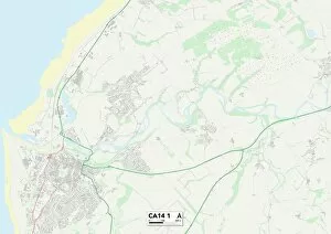
Background imageChurch Road Collection: CA Carlisle, CA14 1

CA Carlisle, CA14 1
CA14 1

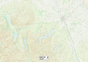
Background imageChurch Road Collection: UK Maps, CA Carlisle, CA11 0

UK Maps, CA Carlisle, CA11 0
CA11 0

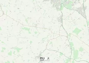
Background imageChurch Road Collection: Redditch B96 6 Map

Redditch B96 6 Map
Postcode Sector Map of Redditch B96 6

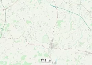
Background imageChurch Road Collection: Stratford-on-Avon B95 5 Map

Stratford-on-Avon B95 5 Map
Postcode Sector Map of Stratford-on-Avon B95 5

Background imageChurch Road Collection: Solihull B90 2 Map

Solihull B90 2 Map
Postcode Sector Map of Solihull B90 2

Background imageChurch Road Collection: Tamworth B79 9 Map

Tamworth B79 9 Map
Postcode Sector Map of Tamworth B79 9

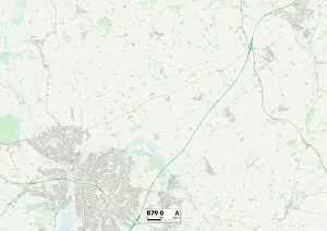
Background imageChurch Road Collection: Tamworth B79 0 Map

Tamworth B79 0 Map
Postcode Sector Map of Tamworth B79 0

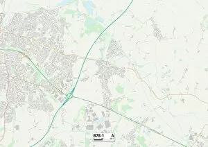
Background imageChurch Road Collection: Tamworth B78 1 Map

Tamworth B78 1 Map
Postcode Sector Map of Tamworth B78 1

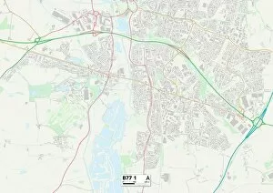
Background imageChurch Road Collection: Tamworth B77 1 Map

Tamworth B77 1 Map
Postcode Sector Map of Tamworth B77 1

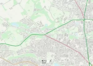
Background imageChurch Road Collection: Bolton BL1 6 Map

Bolton BL1 6 Map
Postcode Sector Map of Bolton BL1 6

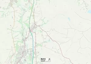
Background imageChurch Road Collection: Bury BL0 0 Map

Bury BL0 0 Map
Postcode Sector Map of Bury BL0 0

Background imageChurch Road Collection: East Dorset BH22 9 Map

East Dorset BH22 9 Map
Postcode Sector Map of East Dorset BH22 9

Background imageChurch Road Collection: East Dorset BH21 6 Map

East Dorset BH21 6 Map
Postcode Sector Map of East Dorset BH21 6

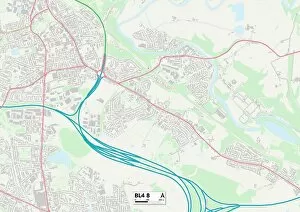
Background imageChurch Road Collection: Bolton BL4 8 Map

Bolton BL4 8 Map
Postcode Sector Map of Bolton BL4 8

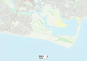
Background imageChurch Road Collection: Bournemouth BH6 4 Map

Bournemouth BH6 4 Map
Postcode Sector Map of Bournemouth BH6 4

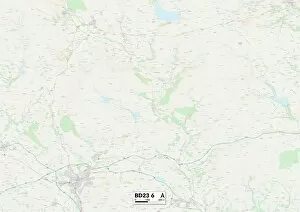
Background imageChurch Road Collection: BD Bradford, BD23 6

BD Bradford, BD23 6
BD23 6

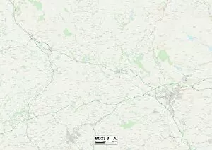
Background imageChurch Road Collection: Craven BD23 3 Map

Craven BD23 3 Map
Postcode Sector Map of Craven BD23 3

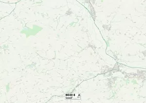
Background imageChurch Road Collection: Bradford BD20 8 Map

Bradford BD20 8 Map
Postcode Sector Map of Bradford BD20 8

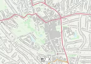
Background imageChurch Road Collection: Bromley BR1 1 Map

Bromley BR1 1 Map
Postcode Sector Map of Bromley BR1 1

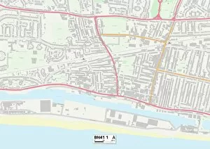
Background imageChurch Road Collection: BN Brighton, BN41 1

BN Brighton, BN41 1
BN41 1

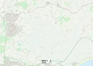
Background imageChurch Road Collection: Wealden BN27 1 Map

Wealden BN27 1 Map
Postcode Sector Map of Wealden BN27 1

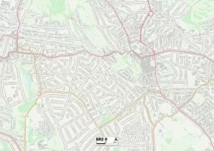
Background imageChurch Road Collection: BR Bromley, BR2 0

BR Bromley, BR2 0
BR2 0

Background imageChurch Road Collection: Bromley BR2 6 Map

Bromley BR2 6 Map
Postcode Sector Map of Bromley BR2 6

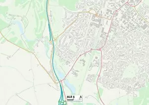
Background imageChurch Road Collection: AL St Albans, AL8 6

AL St Albans, AL8 6
AL8 6

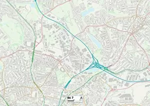
Background imageChurch Road Collection: Birmingham B6 7 Map

Birmingham B6 7 Map
Postcode Sector Map of Birmingham B6 7

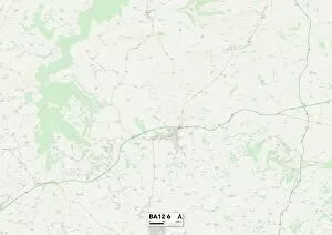
Background imageChurch Road Collection: Wiltshire BA12 6 Map

Wiltshire BA12 6 Map
Postcode Sector Map of Wiltshire BA12 6

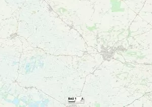
Background imageChurch Road Collection: Mendip BA5 1 Map

Mendip BA5 1 Map
Postcode Sector Map of Mendip BA5 1

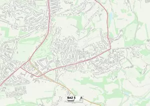
Background imageChurch Road Collection: Bath and North East Somerset BA2 5 Map

Bath and North East Somerset BA2 5 Map
Postcode Sector Map of Bath and North East Somerset BA2 5

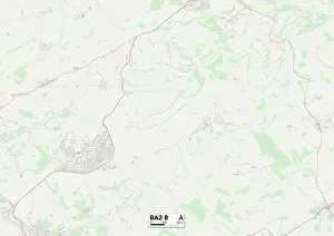
Background imageChurch Road Collection: Bath and North East Somerset BA2 8 Map

Bath and North East Somerset BA2 8 Map
Postcode Sector Map of Bath and North East Somerset BA2 8

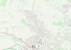
Background imageChurch Road Collection: Bath and North East Somerset BA1 4 Map

Bath and North East Somerset BA1 4 Map
Postcode Sector Map of Bath and North East Somerset BA1 4

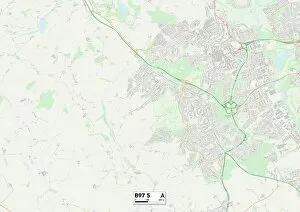
Background imageChurch Road Collection: B Birmingham, B97 5

B Birmingham, B97 5
B97 5

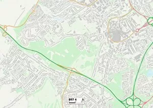
Background imageChurch Road Collection: Redditch B97 4 Map

Redditch B97 4 Map
Postcode Sector Map of Redditch B97 4

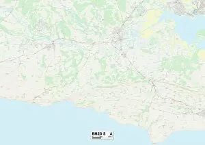
Background imageChurch Road Collection: Purbeck BH20 5 Map

Purbeck BH20 5 Map
Postcode Sector Map of Purbeck BH20 5

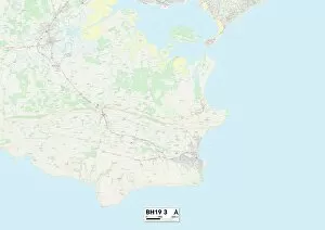
Background imageChurch Road Collection: Purbeck BH19 3 Map

Purbeck BH19 3 Map
Postcode Sector Map of Purbeck BH19 3

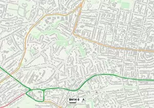
Background imageChurch Road Collection: Poole BH14 0 Map

Poole BH14 0 Map
Postcode Sector Map of Poole BH14 0

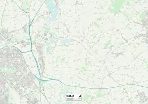
Background imageChurch Road Collection: North Warwickshire B46 2 Map

North Warwickshire B46 2 Map
Postcode Sector Map of North Warwickshire B46 2

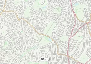
Background imageChurch Road Collection: Sandwell B67 6 Map

Sandwell B67 6 Map
Postcode Sector Map of Sandwell B67 6

Background imageChurch Road Collection: Sandwell B65 9 Map

Sandwell B65 9 Map
Postcode Sector Map of Sandwell B65 9

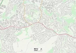
Background imageChurch Road Collection: B Birmingham, B63 2

B Birmingham, B63 2
B63 2

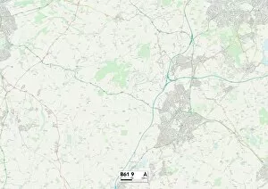
Background imageChurch Road Collection: Bromsgrove B61 9 Map

Bromsgrove B61 9 Map
Postcode Sector Map of Bromsgrove B61 9

Background imageChurch Road Collection: Bromsgrove B61 8 Map

Bromsgrove B61 8 Map
Postcode Sector Map of Bromsgrove B61 8

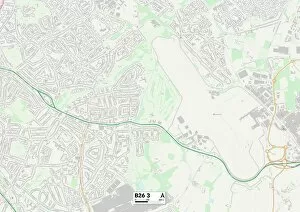
Background imageChurch Road Collection: B Birmingham, B26 3

B Birmingham, B26 3
B26 3

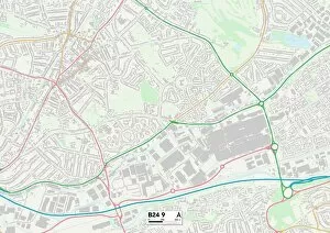
Background imageChurch Road Collection: Birmingham B24 9 Map

Birmingham B24 9 Map
Postcode Sector Map of Birmingham B24 9


For sale as Licensed Images

Choose your image, Select your licence and Download the media

"Discover the spiritual journey along Church Road, as it winds through diverse landscapes and communities across the UK. From Liverpool's L19 district to South Ribble's PR25 area, this road connects hearts and souls in a tapestry of faith. Follow its path through Mole Valley's RH5 region, where tranquility meets devotion amidst picturesque surroundings. Continue your pilgrimage to Kinross-Shire's KY13 territory, where ancient churches stand as testaments to centuries of worship. Journey onwards to Bexley's DA7 neighborhood, where vibrant congregations gather under spires that reach towards the heavens. Venture further north into North Yorkshire's DL9 domain, where Church Road weaves through charming villages steeped in history and reverence. Embrace Brentwood's CM14 landscape next on your spiritual quest; here you'll find a harmonious blend of tradition and modernity. As you traverse Newmarket’s CB8 terrain, immerse yourself in a rich heritage of religious customs intertwined with equestrian culture. The road then leads westward to Wigan’s WN2 district – an intersection between industrial roots and unwavering faith. Journey southwards towards North Dorset’s SP8 expanse; let the serenity of this countryside setting inspire contemplation and reflection. Finally, arrive at Bristol’s BS14 vicinity - a melting pot of cultures united by their shared devotion along Church Road. Conclude your odyssey in Wolverhampton’s WV10 realm; here lies a community bound together by their unwavering belief amidst urban vibrancy. " (Note.