Church Street Collection (#5)

"Church Street: A Journey Through Time and Space" Step into the enchanting world of Church Street, where history and beauty intertwine

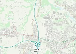
Background imageChurch Street Collection: Wigan WN5 8 Map

Wigan WN5 8 Map
Postcode Sector Map of Wigan WN5 8

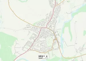
Background imageChurch Street Collection: Wychavon WR10 1 Map

Wychavon WR10 1 Map
Postcode Sector Map of Wychavon WR10 1

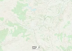
Background imageChurch Street Collection: Powys SY18 6 Map

Powys SY18 6 Map
Postcode Sector Map of Powys SY18 6

Background imageChurch Street Collection: Shropshire SY11 4 Map

Shropshire SY11 4 Map
Postcode Sector Map of Shropshire SY11 4

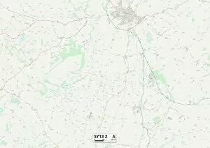
Background imageChurch Street Collection: Shropshire SY13 2 Map

Shropshire SY13 2 Map
Postcode Sector Map of Shropshire SY13 2

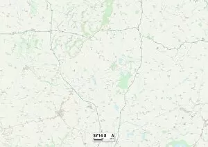
Background imageChurch Street Collection: Cheshire West and Chester SY14 8 Map

Cheshire West and Chester SY14 8 Map
Postcode Sector Map of Cheshire West and Chester SY14 8

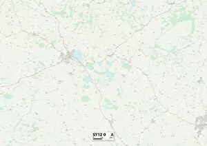
Background imageChurch Street Collection: Shropshire SY12 0 Map

Shropshire SY12 0 Map
Postcode Sector Map of Shropshire SY12 0

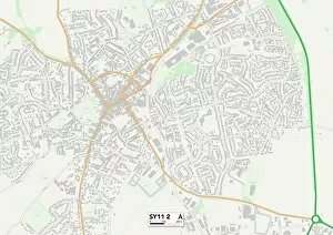
Background imageChurch Street Collection: Shropshire SY11 2 Map

Shropshire SY11 2 Map
Postcode Sector Map of Shropshire SY11 2

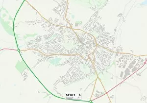
Background imageChurch Street Collection: Shropshire SY13 1 Map

Shropshire SY13 1 Map
Postcode Sector Map of Shropshire SY13 1

Background imageChurch Street Collection: Shropshire SY10 0 Map

Shropshire SY10 0 Map
Postcode Sector Map of Shropshire SY10 0

Background imageChurch Street Collection: Shropshire SY9 5 Map

Shropshire SY9 5 Map
Postcode Sector Map of Shropshire SY9 5

Background imageChurch Street Collection: Shropshire SY8 1 Map

Shropshire SY8 1 Map
Postcode Sector Map of Shropshire SY8 1

Background imageChurch Street Collection: Shropshire SY7 8 Map

Shropshire SY7 8 Map
Postcode Sector Map of Shropshire SY7 8

Background imageChurch Street Collection: Shropshire SY7 0 Map

Shropshire SY7 0 Map
Postcode Sector Map of Shropshire SY7 0

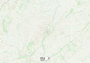
Background imageChurch Street Collection: Shropshire SY6 6 Map

Shropshire SY6 6 Map
Postcode Sector Map of Shropshire SY6 6

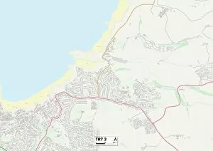
Background imageChurch Street Collection: Cornwall TR7 3 Map

Cornwall TR7 3 Map
Postcode Sector Map of Cornwall TR7 3

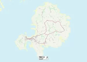
Background imageChurch Street Collection: Isles of Scilly TR21 0 Map

Isles of Scilly TR21 0 Map
Postcode Sector Map of Isles of Scilly TR21 0

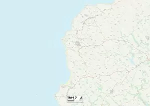
Background imageChurch Street Collection: Cornwall TR19 7 Map

Cornwall TR19 7 Map
Postcode Sector Map of Cornwall TR19 7

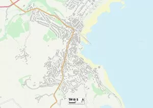
Background imageChurch Street Collection: Cornwall TR18 5 Map

Cornwall TR18 5 Map
Postcode Sector Map of Cornwall TR18 5

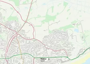
Background imageChurch Street Collection: Rother TN40 2 Map

Rother TN40 2 Map
Postcode Sector Map of Rother TN40 2

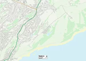
Background imageChurch Street Collection: Hastings TN35 5 Map

Hastings TN35 5 Map
Postcode Sector Map of Hastings TN35 5

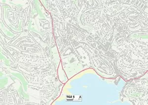
Background imageChurch Street Collection: Torbay TQ2 5 Map

Torbay TQ2 5 Map
Postcode Sector Map of Torbay TQ2 5

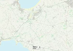
Background imageChurch Street Collection: Cornwall TR27 6 Map

Cornwall TR27 6 Map
Postcode Sector Map of Cornwall TR27 6

Background imageChurch Street Collection: Cornwall TR16 5 Map

Cornwall TR16 5 Map
Postcode Sector Map of Cornwall TR16 5

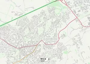
Background imageChurch Street Collection: Cornwall TR14 8 Map

Cornwall TR14 8 Map
Postcode Sector Map of Cornwall TR14 8

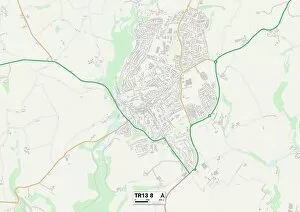
Background imageChurch Street Collection: Cornwall TR13 8 Map

Cornwall TR13 8 Map
Postcode Sector Map of Cornwall TR13 8

Background imageChurch Street Collection: Cornwall TR11 3 Map

Cornwall TR11 3 Map
Postcode Sector Map of Cornwall TR11 3

Background imageChurch Street Collection: Ashford TN25 5 Map

Ashford TN25 5 Map
Postcode Sector Map of Ashford TN25 5

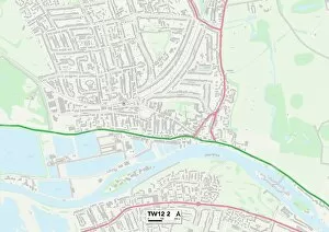
Background imageChurch Street Collection: Richmond upon Thames TW12 2 Map

Richmond upon Thames TW12 2 Map
Postcode Sector Map of Richmond upon Thames TW12 2

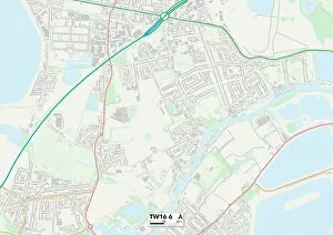
Background imageChurch Street Collection: Spelthorne TW16 6 Map

Spelthorne TW16 6 Map
Postcode Sector Map of Spelthorne TW16 6

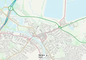
Background imageChurch Street Collection: Spelthorne TW18 4 Map

Spelthorne TW18 4 Map
Postcode Sector Map of Spelthorne TW18 4

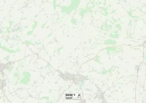
Background imageChurch Street Collection: Eastleigh SO32 1 Map

Eastleigh SO32 1 Map
Postcode Sector Map of Eastleigh SO32 1

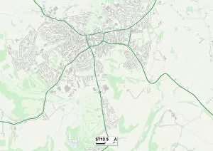
Background imageChurch Street Collection: Staffordshire ST13 5 Map

Staffordshire ST13 5 Map
Postcode Sector Map of Staffordshire ST13 5

Background imageChurch Street Collection: Shropshire SY1 1 Map

Shropshire SY1 1 Map
Postcode Sector Map of Shropshire SY1 1

Background imageChurch Street Collection: Staffordshire ST21 6 Map

Staffordshire ST21 6 Map
Postcode Sector Map of Staffordshire ST21 6

Background imageChurch Street Collection: Staffordshire ST15 8 Map

Staffordshire ST15 8 Map
Postcode Sector Map of Staffordshire ST15 8

Background imageChurch Street Collection: Staffordshire ST14 8 Map

Staffordshire ST14 8 Map
Postcode Sector Map of Staffordshire ST14 8

Background imageChurch Street Collection: Staffordshire ST10 2 Map

Staffordshire ST10 2 Map
Postcode Sector Map of Staffordshire ST10 2

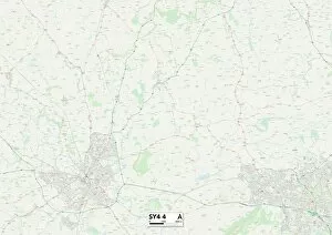
Background imageChurch Street Collection: Shropshire SY4 4 Map

Shropshire SY4 4 Map
Postcode Sector Map of Shropshire SY4 4

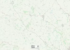
Background imageChurch Street Collection: Shropshire SY4 1 Map

Shropshire SY4 1 Map
Postcode Sector Map of Shropshire SY4 1

Background imageChurch Street Collection: Scottish Borders TD1 3 Map

Scottish Borders TD1 3 Map
Postcode Sector Map of Scottish Borders TD1 3

Background imageChurch Street Collection: Somerset TA20 4 Map

Somerset TA20 4 Map
Postcode Sector Map of Somerset TA20 4

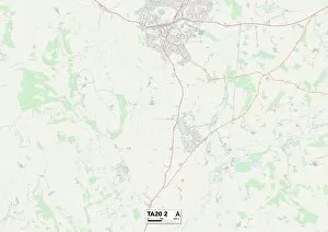
Background imageChurch Street Collection: Somerset TA20 2 Map

Somerset TA20 2 Map
Postcode Sector Map of Somerset TA20 2

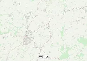
Background imageChurch Street Collection: Somerset TA18 7 Map

Somerset TA18 7 Map
Postcode Sector Map of Somerset TA18 7

Background imageChurch Street Collection: Somerset TA16 5 Map

Somerset TA16 5 Map
Postcode Sector Map of Somerset TA16 5

Background imageChurch Street Collection: Somerset TA13 5 Map

Somerset TA13 5 Map
Postcode Sector Map of Somerset TA13 5

Background imageChurch Street Collection: South Somerset TA11 7 Map

South Somerset TA11 7 Map
Postcode Sector Map of South Somerset TA11 7

Background imageChurch Street Collection: Somerset TA9 4 Map

Somerset TA9 4 Map
Postcode Sector Map of Somerset TA9 4


For sale as Licensed Images

Choose your image, Select your licence and Download the media

"Church Street: A Journey Through Time and Space" Step into the enchanting world of Church Street, where history and beauty intertwine. From the picturesque scenes in Bishops Castle, Shropshire on a chilly January day in 1964 to the vibrant streets of Rhondda Cynon Taf and Kinross-Shire, every corner has a story to tell. In Blaenau Gwent NP13 1 Map, Church Street stands as a symbol of community spirit and resilience. Its charming architecture reflects the rich heritage of this Welsh town. Travel further south to Aylesbury Vale MK18 4 Map, where Church Street welcomes visitors with open arms. The bustling atmosphere is filled with laughter and joy as locals gather for festivals and events that bring this street alive. Rhondda Cynon Taf CF42 6 Map offers another glimpse into the magic of Church Street. Here, time seems to stand still as you wander through its cobbled paths lined with quaint shops and cozy cafes. Venturing northwards to Wigan WN2 3 Map reveals yet another facet of Church Street's charm. This industrial town embraces its roots while embracing modernity, creating a unique blend that captivates all who visit. Shropshire TF9 2 Map takes us back in time once again as we explore Church Street's historical significance. Ancient buildings whisper tales from centuries past while inviting us to delve deeper into their secrets. North Dorset SP8 5 Map unveils an idyllic countryside setting along Church Street. Surrounded by rolling hills and lush greenery, it provides solace for those seeking tranquility away from city life. BL Bolton BL3 1 brings us back to urban living at its finest on Church Street. Vibrant markets showcase local produce while friendly faces greet passersby with warmth and hospitality. Finally, our journey concludes in Stogursey Somerset's own Church Street.