
Dark Lane Collection
"Exploring the Dark Lane: A Journey Through Mysterious Paths" Embark on a thrilling adventure through the enigmatic Dark Lane

For sale as Licensed Images
Choose your image, Select your licence and Download the media
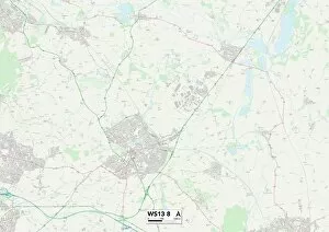
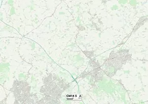
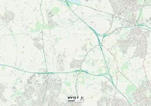
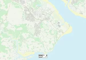
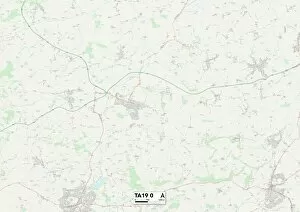
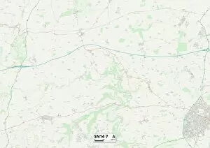
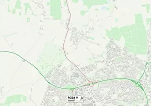
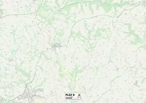
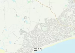
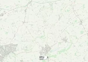
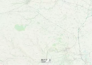
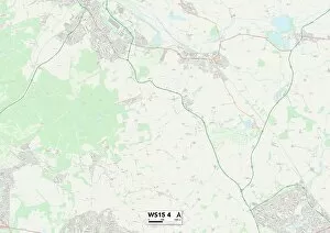
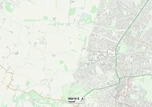
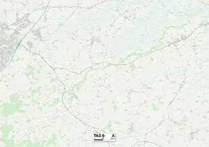
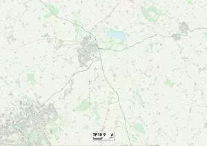
"Exploring the Dark Lane: A Journey Through Mysterious Paths" Embark on a thrilling adventure through the enigmatic Dark Lane, where hidden secrets and untold tales await. Located in various parts of England, this captivating route takes you from Lichfield's WS13 8 Map to Brentwood's CM14 5 Map, leading you further into an intriguing labyrinth. As you traverse through Wolverhampton's WV10 7 Map and New Forest's SO45 1 Map, prepare to be enchanted by the mystical aura that surrounds these ancient pathways. Each step brings you closer to Somerset's TA19 0 Map, where whispers of forgotten folklore echo among its shadowed trees. Continue your expedition towards Wiltshire's SN14 7 Map and Hampshire's RG24 9 Map as the atmosphere grows more mysterious with every mile. The winding roads then guide you to Cornwall's PL22 0 Map, revealing eerie landscapes shrouded in legends of old. Journeying through Sussex's PO21 3 Map and West Dorset’s DT9 4 map will immerse you deeper into the heart of darkness. Here, nature intertwines with history, painting a hauntingly beautiful backdrop for your exploration. Finally reaching North Yorkshire’s DL11 7 map and Cannock Chase’s WS15 4 map unveils new dimensions of intrigue within Dark Lane. These final destinations hold secrets that only those who dare venture can uncover; stories whispered by time itself. So gather your courage and set foot upon this bewitching path – let curiosity be your guide as you navigate through Dark Lane’s mystifying realms. Discover what lies beyond each turn while immersing yourself in a world where shadows dance beneath moonlit skies - an unforgettable journey awaits.