
Exploration Collection (page 5)
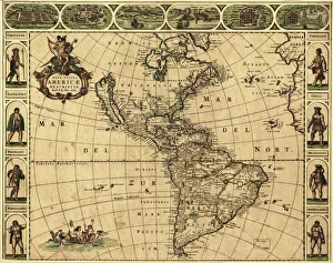
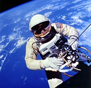
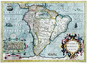
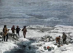
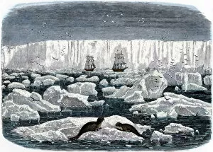
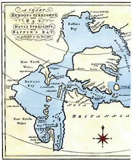
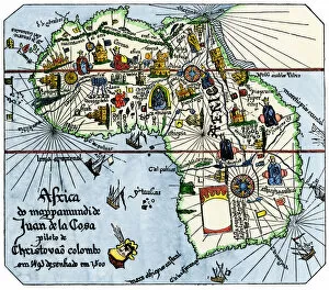
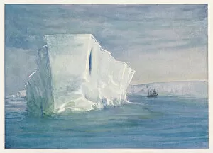
"Unveiling the Unknown: A Journey through Time and Terrain" Embarking on a voyage of discovery, the HMS Erebus and HMS Terror set sail in 1845


For sale as Licensed Images
Choose your image, Select your licence and Download the media
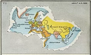
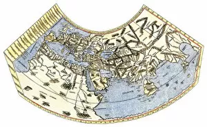
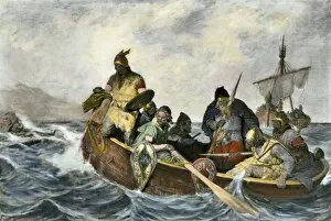
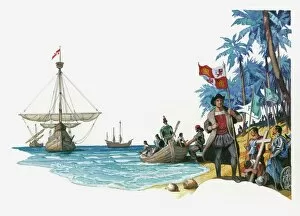
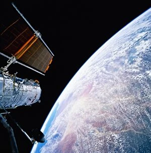
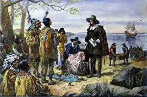
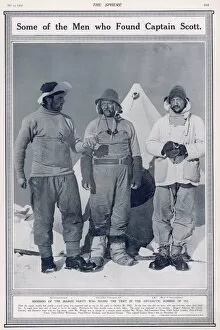
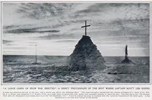
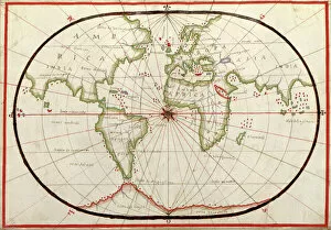
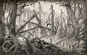
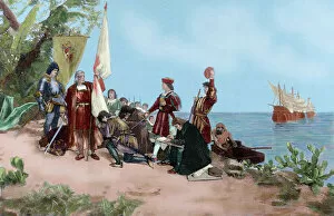
"Unveiling the Unknown: A Journey through Time and Terrain" Embarking on a voyage of discovery, the HMS Erebus and HMS Terror set sail in 1845, their mission shrouded in mystery. As they ventured into uncharted waters, these vessels became symbols of exploration's relentless pursuit. Across distant lands, explorers like Sir Edmund Hillary left indelible marks on history. Scaling the majestic Mount Everest alongside Tenzing Norgay in 1953, they reached new heights both literally and metaphorically. Their triumph echoed throughout time as a testament to human resilience. Yet not all expeditions ended with glory. The ill-fated journey of Erebus and Terror marked Franklin's last endeavor, forever etched in maritime lore. These ships vanished into icy depths, leaving behind tales of bravery amidst treacherous conditions. In a single snapshot captured from space, the Earthrise photograph revealed our planet's fragility against the vastness of space—a reminder that exploration extends beyond earthly boundaries. Heroes emerged from adversity; Shackleton, Wild, and Adams defied nature's wrath during their Antarctic expedition—an epic tale of survival against all odds. The HMS Beagle Ship laid up after Darwin's transformative voyage—its significance imprinted upon scientific progress forevermore. This vessel carried ideas that challenged conventions and reshaped our understanding of life itself. Maps unfolded before us like portals to unknown territories—the British Empire world map depicted an era when exploration expanded horizons far beyond imagination. From ancient Viking ships sailing turbulent seas to Captain Francis Crozier leading his crew aboard HMS Terror—exploration coursed through veins filled with courage and determination. Even within city limits lay untrodden paths waiting to be discovered—the James Craig Map showcased Edinburgh's New Town emerging from topographical dreams into reality—an urban landscape born out of innovation and vision.