
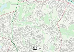
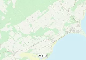
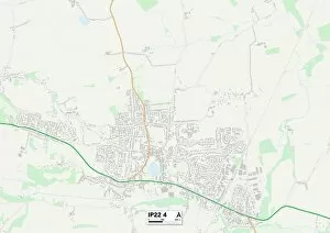
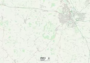
Factory Lane Collection
Discover the charm of Factory Lane, a hidden gem connecting diverse regions across the UK


For sale as Licensed Images
Choose your image, Select your licence and Download the media
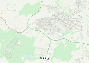
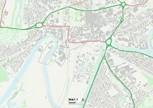
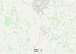
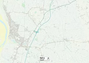
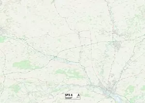
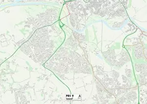
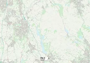
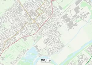
Discover the charm of Factory Lane, a hidden gem connecting diverse regions across the UK. Located in Chorley (PR6 7 Map), this bustling lane serves as a vital artery for businesses and industries, seamlessly linking Harborough (LE16 7 Map) to Kirklees (HD8 9 Map). Journey further along and you'll find yourself amidst the picturesque landscapes of Wiltshire (BA12 8 Map), where factories thrive alongside natural beauty. As you traverse Factory Lane towards Warrington (WA1 1 Map), be prepared to witness a vibrant tapestry of industrial prowess. The hum of machinery fills the air, showcasing the ingenuity and productivity that defines this region. Somerset's TA20 2 Map unveils another facet of Factory Lane's diversity, with its own unique blend of manufacturing excellence. Continue your adventure through Somerset's TA9 4 Map, where traditional craftsmanship meets modern innovation. Halton's WA8 9 Map is next on our journey—a testament to how Factory Lane unites communities across different counties. In Wiltshire's SP3 4 map lies yet another thriving hub within this network—where creativity flourishes alongside efficiency. Preston's PR1 9 map marks an important milestone along our route—an intersection where commerce converges with history. As we approach Monmouthshire (NP4 7 map), prepare to immerse yourself in a rich heritage intertwined with contemporary progress. Finally, return full circle to Chorley’s PR6 9 map—the heartland from which it all began. Here at Factory Lane, unity prevails as various regions come together under one common purpose: driving economic growth while fostering collaboration among communities near and far. So embark on a journey down Factory Lane—a path that connects not just physical locations but also people and ideas—to experience firsthand the dynamic spirit that fuels these industrious corridors.