
Fairfield Collection (#2)
Fairfield, a name that echoes through different corners of the world, holds diverse stories and breathtaking sights


For sale as Licensed Images
Choose your image, Select your licence and Download the media
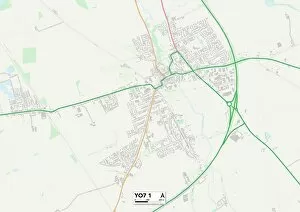
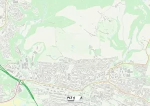
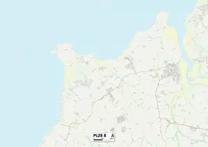
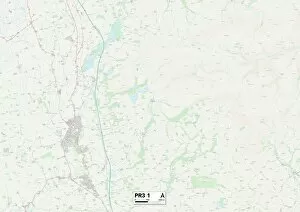
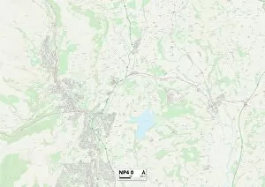
Fairfield, a name that echoes through different corners of the world, holds diverse stories and breathtaking sights. From the historic Bryant & May Matchworks to the haunting remnants of Three Counties Asylum in Arlesey, Bedfordshire, Fairfield's past whispers tales of industry and mental health care. But it is not just history that defines Fairfield; nature paints its own vibrant picture here. A rainbow gracefully arching over railroad tracks near Fairfield Montana captures the essence of hope and beauty amidst everyday journeys. In the heart of Lake District National Park, UK, lies Fairfield mountain adorned with a winter cloak. Its snow-capped peaks invite adventurers to conquer its challenging trails while offering panoramic views that steal one's breath away. Travel back in time along Buxton Fairfield Road as sepia-toned images transport us to early 1900s England. The road becomes a portal into an era filled with nostalgia and simpler times. Maps guide us further into this enchanting realm - Somerset TA12 6 Map reveals hidden gems waiting to be discovered while South Oxfordshire OX10 9 Map leads us on a journey through picturesque landscapes dotted with charming villages. Leeds LS25 5 Map unveils a bustling cityscape where modernity intertwines seamlessly with history. It beckons visitors to explore its vibrant streets and immerse themselves in its cultural tapestry. Venturing northwards brings us to East Riding of Yorkshire HU15 2 Map - an area steeped in natural beauty. Rolling hillsides meet quaint villages as we lose ourselves in this idyllic countryside retreat. Further south lies West Dorset DT9 4 Map - an oasis for those seeking solace by the sea. Coastal walks reveal stunning vistas while hidden coves whisper secrets only known by those who wander off the beaten path. St Thomas Becket Church stands proudly amidst Romney Marsh in Kent, England – a testament to centuries-old architecture rooted deep within English heritage.