Geographic Collection (#9)

"Exploring the World Through Geographic Treasures" Step back in time with the 1768 James Craig Map of New Town, Edinburgh, Scotland

Background imageGeographic Collection: 1857 U.S. Coast Survey Chart Or Map Of Chesapeake Bay And Delaware Bay

1857 U.S. Coast Survey Chart Or Map Of Chesapeake Bay And Delaware Bay
1857, U.S. Coast Survey Chart or Map of Chesapeake Bay and Delaware Bay

Background imageGeographic Collection: 1855 U.S.C.S. Map Of The Western Coast Of The United States

1855 U.S.C.S. Map Of The Western Coast Of The United States
1855, U.S.C.S. Map of the Western Coast of the United States

Background imageGeographic Collection: 1855 U.S. Coast Survey Chart Or Map Of Chesapeake Bay And Delaware Bay

1855 U.S. Coast Survey Chart Or Map Of Chesapeake Bay And Delaware Bay
1855, U.S. Coast Survey Chart or Map of Chesapeake Bay and Delaware Bay

Background imageGeographic Collection: 1855 U.S.C.S. Map Or Chart Of Washington And Oregon

1855 U.S.C.S. Map Or Chart Of Washington And Oregon
1855, U.S.C.S. Map or Chart of Washington and Oregon

Background imageGeographic Collection: 1857 Dufour Map Of Algeria Topography Cartography

1857 Dufour Map Of Algeria Topography Cartography
1857, Dufour Map of Algeria

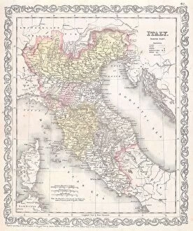
Background imageGeographic Collection: 1856 Desilver Map Of Northern Italy Topography

1856 Desilver Map Of Northern Italy Topography
1856, Desilver Map of Northern Italy

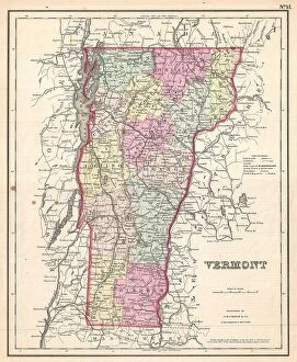
Background imageGeographic Collection: 1857 Colton Map Of Vermont Topography Cartography

1857 Colton Map Of Vermont Topography Cartography
1857, Colton Map of Vermont

Background imageGeographic Collection: 1857 Colton Map Of Pennsylvania Topography Cartography

1857 Colton Map Of Pennsylvania Topography Cartography
1857, Colton Map of Pennsylvania

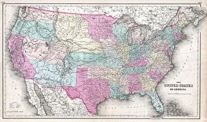
Background imageGeographic Collection: 1857 Colton Map Of The United States Topography

1857 Colton Map Of The United States Topography
1857, Colton Map of the United States

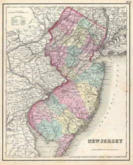
Background imageGeographic Collection: 1857 Colton Map Of New Jersey Topography Cartography

1857 Colton Map Of New Jersey Topography Cartography
1857, Colton Map of New Jersey

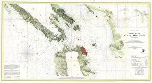
Background imageGeographic Collection: 1857 U.S.C.S. Map Of San Francisco Bay Topography

1857 U.S.C.S. Map Of San Francisco Bay Topography
1857, U.S.C.S. Map of San Francisco Bay

Background imageGeographic Collection: 1856 U.S. Coast Survey Map Of San Francisco Bay And City

1856 U.S. Coast Survey Map Of San Francisco Bay And City
1856, U.S. Coast Survey Map of San Francisco Bay and City

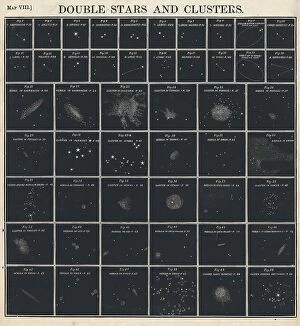
Background imageGeographic Collection: 1856 Burritt Huntington Chart Of Star Clusters And Double Stars

1856 Burritt Huntington Chart Of Star Clusters And Double Stars
1856, Burritt, Huntington Chart of Star Clusters and Double Stars

Background imageGeographic Collection: 1855 U.S. Coast Survey Map Of The Delta Of The Mississippi River

1855 U.S. Coast Survey Map Of The Delta Of The Mississippi River
1855, U.S. Coast Survey Map of the Delta of the Mississippi River

Background imageGeographic Collection: 1857 Colton Map Of New Hampshire Topography Cartography

1857 Colton Map Of New Hampshire Topography Cartography
1857, Colton Map of New Hampshire

Background imageGeographic Collection: 1857 Colton Map Of Massachusetts And Rhode Island

1857 Colton Map Of Massachusetts And Rhode Island
1857, Colton Map of Massachusetts and Rhode Island

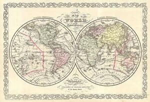
Background imageGeographic Collection: 1856 Desilver Map Of The World Topography Cartography

1856 Desilver Map Of The World Topography Cartography
1856, Desilver Map of the World

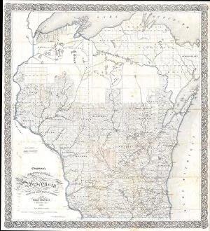
Background imageGeographic Collection: 1856 Chapman Pocket Map Of Wisconsin Topography

1856 Chapman Pocket Map Of Wisconsin Topography
1856, Chapman Pocket Map of Wisconsin

Background imageGeographic Collection: 1857 U.S. Coast Survey Chart Or Map Of The Chesapeake Bay

1857 U.S. Coast Survey Chart Or Map Of The Chesapeake Bay
1857, U.S. Coast Survey Chart or Map of the Chesapeake Bay

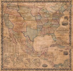
Background imageGeographic Collection: 1856 Mitchell Wall Map Of The United States And North America

1856 Mitchell Wall Map Of The United States And North America
1856, Mitchell Wall Map of the United States and North America

Background imageGeographic Collection: 1857 Colton Map Of New York Topography Cartography

1857 Colton Map Of New York Topography Cartography
1857, Colton Map of New York

Background imageGeographic Collection: 1855 U.S. Coast Survey Chart Or Map Of Washington And Oregon

1855 U.S. Coast Survey Chart Or Map Of Washington And Oregon
1855, U.S. Coast Survey Chart or Map of Washington and Oregon

Background imageGeographic Collection: 1857 Colton Map Of Connecticut And Long Island

1857 Colton Map Of Connecticut And Long Island
1857, Colton Map of Connecticut and Long Island

Background imageGeographic Collection: 1857 Dufour Map Of North America Topography Cartography

1857 Dufour Map Of North America Topography Cartography
1857, Dufour Map of North America

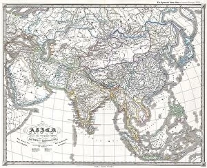
Background imageGeographic Collection: 1855 Spruner Map Of Asia Under The Mongol Empire

1855 Spruner Map Of Asia Under The Mongol Empire
1855, Spruner Map of Asia under the Mongol Empire

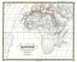
Background imageGeographic Collection: 1855 Spruner Map Of Africa Up To The Arab Conquests In The 7th Century

1855 Spruner Map Of Africa Up To The Arab Conquests In The 7th Century
1855, Spruner Map of Africa up to the Arab conquests in the 7th century

Background imageGeographic Collection: 1855 Spruneri Map Of The Empire Of Alexander The Great

1855 Spruneri Map Of The Empire Of Alexander The Great
1855, Spruneri Map of the Empire of Alexander the Great

Background imageGeographic Collection: 1855 Perthes Map Of Asia At The End Of The 17th Century

1855 Perthes Map Of Asia At The End Of The 17th Century
1855, Perthes Map of Asia at the end of the 17th Century

Background imageGeographic Collection: 1855 Jefferson Davis Map Of California From Pyramid Lake To The Sacramento River

1855 Jefferson Davis Map Of California From Pyramid Lake To The Sacramento River
1855, Jefferson Davis Map of California from Pyramid Lake to the Sacramento River

Background imageGeographic Collection: 1855 Colton Pocket Map Of The United States Topography

1855 Colton Pocket Map Of The United States Topography
1855, Colton Pocket Map of the United States

Background imageGeographic Collection: 1855 Colton Map Of Upper Canada Or Ontario Topography

1855 Colton Map Of Upper Canada Or Ontario Topography
1855, Colton Map of Upper Canada or Ontario

Background imageGeographic Collection: 1855 Spruner Map Of The Americas Since 1776 Topography

1855 Spruner Map Of The Americas Since 1776 Topography
1855, Spruner Map of the Americas since 1776

Background imageGeographic Collection: 1855 Colton Plan Or Map Of Washington D.C. Topography

1855 Colton Plan Or Map Of Washington D.C. Topography
1855, Colton Plan or Map of Washington D.C

Background imageGeographic Collection: 1855 Spruner Map Of Australia And Polynesia With An Overview Of Discoveries And Colonization

1855 Spruner Map Of Australia And Polynesia With An Overview Of Discoveries And Colonization
1855, Spruner Map of Australia and Polynesia with an overview of Discoveries and Colonization

Background imageGeographic Collection: 1855 Spruner Map Of Asia In The 9th And 10th Centuries

1855 Spruner Map Of Asia In The 9th And 10th Centuries
1855, Spruner Map of Asia in the 9th and 10th Centuries

Background imageGeographic Collection: 1855 Colton Plan Or Map Of Boston Topography

1855 Colton Plan Or Map Of Boston Topography
1855, Colton Plan or Map of Boston

Background imageGeographic Collection: 1855 Spruner Map Of Africa From The 8th To The 14th Century

1855 Spruner Map Of Africa From The 8th To The 14th Century
1855, Spruner Map of Africa from the 8th to the 14th century

Background imageGeographic Collection: 1855 Spruner Map Of Africa Since The Beginning Of The 15th Century

1855 Spruner Map Of Africa Since The Beginning Of The 15th Century
1855, Spruner Map of Africa since the beginning of the 15th century

Background imageGeographic Collection: 1855 Colton Map Of Wisconsin Topography Cartography

1855 Colton Map Of Wisconsin Topography Cartography
1855, Colton Map of Wisconsin

Background imageGeographic Collection: 1855 Colton World Mountains And Rivers Map Or Chart

1855 Colton World Mountains And Rivers Map Or Chart
1855, Colton World Mountains and Rivers Map or Chart

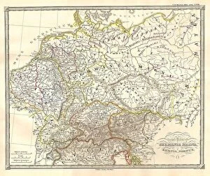
Background imageGeographic Collection: 1855 Spruneri Map Of Germany Or Germania Magna In Ancient Times

1855 Spruneri Map Of Germany Or Germania Magna In Ancient Times
1855, Spruneri Map of Germany or Germania Magna in Ancient Times

Background imageGeographic Collection: 1855 Colton Map Of Western Africa Topography

1855 Colton Map Of Western Africa Topography
1855, Colton Map of Western Africa

Background imageGeographic Collection: 1855 Colton Map Of Washington D.C. Topography

1855 Colton Map Of Washington D.C. Topography
1855, Colton Map of Washington D.C

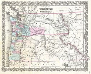
Background imageGeographic Collection: 1855 Colton Map Of Washington And Oregon Topography

1855 Colton Map Of Washington And Oregon Topography
1855, Colton Map of Washington and Oregon

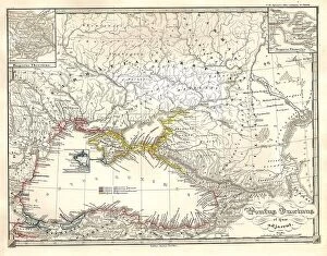
Background imageGeographic Collection: 1855 Spruneri Map Of The Black Sea Or Pontus Euxinus In Ancient Times

1855 Spruneri Map Of The Black Sea Or Pontus Euxinus In Ancient Times
1855, Spruneri Map of the Black Sea or Pontus Euxinus in Ancient Times

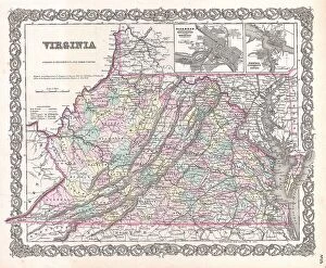
Background imageGeographic Collection: 1855 Colton Map Of Virginia Topography Cartography

1855 Colton Map Of Virginia Topography Cartography
1855, Colton Map of Virginia

Background imageGeographic Collection: 1855 Colton Map Of Vermont Topography Cartography

1855 Colton Map Of Vermont Topography Cartography
1855, Colton Map of Vermont

Background imageGeographic Collection: 1855 Spruneri Map Of India And Southeast Asia In Ancient Times

1855 Spruneri Map Of India And Southeast Asia In Ancient Times
1855, Spruneri Map of India and Southeast Asia in Ancient Times


For sale as Licensed Images

Choose your image, Select your licence and Download the media

"Exploring the World Through Geographic Treasures" Step back in time with the 1768 James Craig Map of New Town, Edinburgh, Scotland, and witness the birth of a vibrant cityscape. This First Plan of New Town showcases not only its topography but also the visionary mind behind its design. Traveling further south to ancient Greece, immerse yourself in history with the 1794 Delisle Map. Discover Southern Ancient Greece, Greek Isles, and Crete through this remarkable depiction of their topography. Let your imagination wander as you envision the lives lived on these mythical lands. For those who dream beyond Earth's boundaries, indulge in celestial wonderment with an 1886 Telescopic View and Map of the Moon. Marvel at its intricate topography while appreciating the artistry involved in cartography and geography. Closer to home lies Pulpit Rock at Portland Bill, Dorset, England—a natural marvel that stands tall against crashing waves. Its rugged beauty reminds us of nature's power and resilience. Take a leap across continents with a captivating map from 1720 showcasing our vast world. Witness how explorers navigated uncharted territories using limited resources—truly a testament to human curiosity and ingenuity. Venturing into paradise itself brings us to Bermuda—an enchanting island captured beautifully in a color engraving map. Lose yourself amidst turquoise waters and lush landscapes that beckon exploration. Scandinavia awaits with its majestic fjords and breathtaking vistas depicted on various maps throughout history. From Colton's detailed representation in 1855 to other timeless renditions—these maps invite you to embark on Nordic adventures like never before. Journeying westward brings us face-to-face with Triplet Falls in Colorado's Green River Canyon—a mesmerizing display of nature's grandeur etched into our collective memory through vivid imagery captured in 1871. Vienna—the heartland of Austria—beckons with its rich history and cultural heritage.