Geology Collection (#96)

"Exploring the Earth's Rich Tapestry: A Journey through Geology" William Smith Geological Map: Unveiling the intricate layers of our planet's history

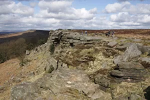
Background imageGeology Collection: Stanage Edge, Derbyshire, 2009

Stanage Edge, Derbyshire, 2009. Stanage Edge is a gritstone outcrop in the Peak District. The area is popular with walkers and rock climbers

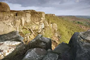
Background imageGeology Collection: Curbar Edge, Derbyshire, 2009

Curbar Edge, Derbyshire, 2009. Curbar Edge is a gritstone outcrop in the Peak District. The area is popular with walkers and rock climbers

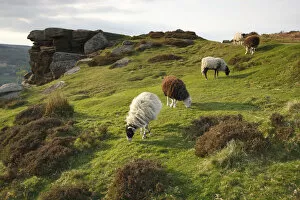
Background imageGeology Collection: Sheep grazing, Curbar Edge, Derbyshire, 2009

Sheep grazing, Curbar Edge, Derbyshire, 2009. Curbar Edge is a gritstone outcrop in the Peak District. The area is popular with walkers and rock climbers

Background imageGeology Collection: Rosa de Piedra (stone rose), rock formation, Tenerife, Canary Islands, 2007

Rosa de Piedra (stone rose), rock formation, Tenerife, Canary Islands, 2007

Background imageGeology Collection: Vegetation and rock formations, Parque Nacional del Teide, Tenerife, Canary Islands, 2007

Vegetation and rock formations, Parque Nacional del Teide, Tenerife, Canary Islands, 2007. The national park surrounds the volcano of Mount Teide

Background imageGeology Collection: Distant view of the Quiraing, Isle of Skye, Highland, Scotland

Distant view of the Quiraing, Isle of Skye, Highland, Scotland. The Quiraing is a landscape formed by a large landslip on the Trotternish Ridge on Skye
Background imageGeology Collection: Quiraing, Isle of Skye, Highland, Scotland

Quiraing, Isle of Skye, Highland, Scotland. The Quiraing is a landscape formed by a large landslip on the Trotternish Ridge on Skye
Background imageGeology Collection: The Old Man of Storr, Isle of Skye, Highland, Scotland

The Old Man of Storr, Isle of Skye, Highland, Scotland. These rock formations are one of the most famous sights on Skye. They are the eroded remnants of an ancient volcanic plug

Background imageGeology Collection: Sign describing the Ice Age Monument, Glen Roy, Highland, Scotland

Sign describing the Ice Age Monument, Glen Roy, Highland, Scotland. The Glen is noted for a geological feature known as the Three Parallel Roads

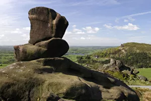
Background imageGeology Collection: Ramshaw Rocks, Staffordshire

Ramshaw Rocks, Staffordshire. Ramshaw Rocks are part of a gritstone escarpment in the Peak District. The area is popular with walkers and rock climbers
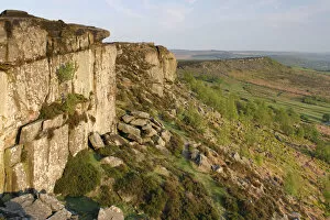
Background imageGeology Collection: Curbar Edge, Derbyshire

Curbar Edge, Derbyshire, 2007. Curbar Edge is a gritstone outcrop in the Peak District. The area is popular with walkers and rock climbers

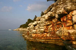
Background imageGeology Collection: Rock Formations, Kefalonia, Greece

Rock Formations, Kefalonia, Greece

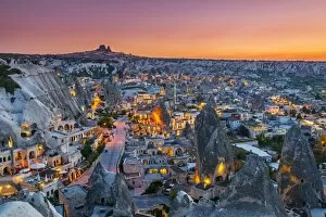
Background imageGeology Collection: Sunset view over Goreme, Cappadocia, Turkey

Sunset view over Goreme, Cappadocia, Turkey

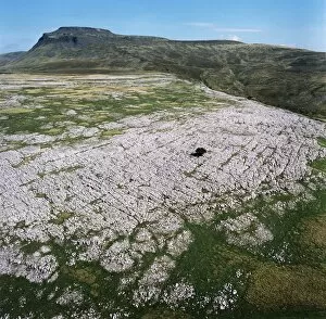
Background imageGeology Collection: Ingleborough Common EAW603463

Ingleborough Common EAW603463
Ingleborough Common, Yorkshire Dales. Aerial view of a limestone pavement - a natural karst landform consisting of a flat incised surface of exposed limestone. Aerofilms Collection (see Links)

Background imageGeology Collection: March through Tesacod Canyon, c1905. Creator: Edward Sheriff Curtis

March through Tesacod Canyon, c1905. Creator: Edward Sheriff Curtis
March through Tesacod Canyon, c1905. Rear view of Navajo Indians on horseback making their way over the sparse, dry, grassy floor of Tesacod Canyon

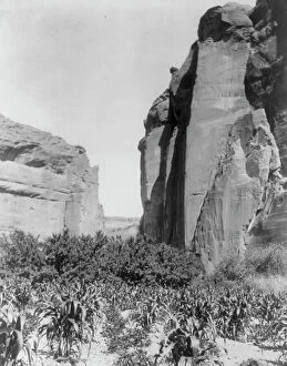
Background imageGeology Collection: A Navaho farm, c1906. Creator: Edward Sheriff Curtis

A Navaho farm, c1906. Creator: Edward Sheriff Curtis
A Navaho farm, c1906. Patches of corn in garden between canyon walls

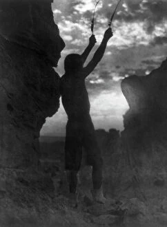
Background imageGeology Collection: Offering to the sun-San Ildefonso, c1927. Creator: Edward Sheriff Curtis

Offering to the sun-San Ildefonso, c1927. Creator: Edward Sheriff Curtis
Offering to the sun-San Ildefonso, c1927. Barechested Tewa man with hands raised skyward, each holding a feather, as he faces the sun

Background imageGeology Collection: Antelope Ruin, Cañon del Muerto-Navaho, c1907. Creator: Edward Sheriff Curtis

Antelope Ruin, Cañon del Muerto-Navaho, c1907. Creator: Edward Sheriff Curtis
Antelope Ruin, Canon del Muerto-Navaho, c1907. Antelope House is an ancient pueblo named for nearby Navajo drawings in the Canyon de Chelly

Background imageGeology Collection: Cañón shadows-Navaho, c1906. Creator: Edward Sheriff Curtis

Cañón shadows-Navaho, c1906. Creator: Edward Sheriff Curtis
Canon shadows-Navaho, c1906. Three Navajos on horseback dwarfed by canyon walls

Background imageGeology Collection: Rock Formations, Monument Valley Navajo Tribal Park, Utah, Arizona, USA

Rock Formations, Monument Valley Navajo Tribal Park, Utah, Arizona, USA

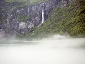
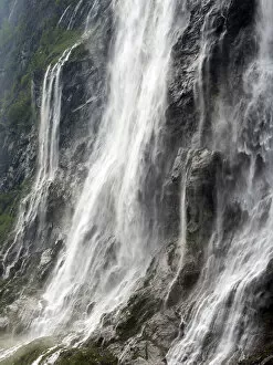
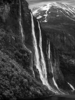
Background imageGeology Collection: Waterfall of Geiranger Fjord in Norway, misty morning

Waterfall of Geiranger Fjord in Norway, misty morning

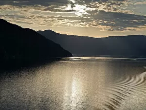
Background imageGeology Collection: Sunset in Eidfjord, Norway

Sunset in Eidfjord, Norway

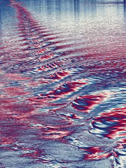
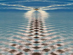
Background imageGeology Collection: Abstract visualisation of ship wakes in Eidfjord Norway

Abstract visualisation of ship wakes in Eidfjord Norway

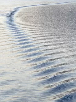
Background imageGeology Collection: Luminous ship wake in Eidfjord

Luminous ship wake in Eidfjord

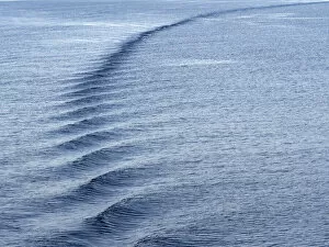
Background imageGeology Collection: Ship wake in Eidfjord, dusk n

Ship wake in Eidfjord, dusk n

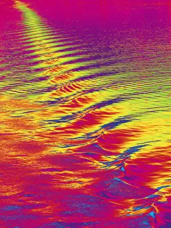
Background imageGeology Collection: Abstract visualisation of ship wakes in Eidfjord, Norway

Abstract visualisation of ship wakes in Eidfjord, Norway

Background imageGeology Collection: Luminous ship wake in Eidfjord, Norway

Luminous ship wake in Eidfjord, Norway

Background imageGeology Collection: Abstract visualisation of ship wakes in Flam, Norway

Abstract visualisation of ship wakes in Flam, Norway

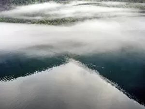
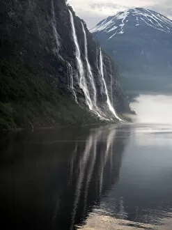
Background imageGeology Collection: Reflections in Geiranger Fjord, misty morning

Reflections in Geiranger Fjord, misty morning

Background imageGeology Collection: Geiranger Fjord in Norway, misty dawn

Geiranger Fjord in Norway, misty dawn

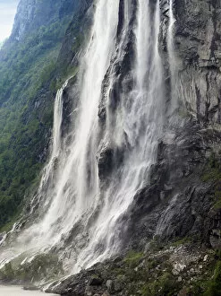
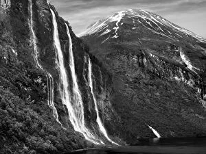
Background imageGeology Collection: Seven Sister Waterfall, Norway, early evening

Seven Sister Waterfall, Norway, early evening

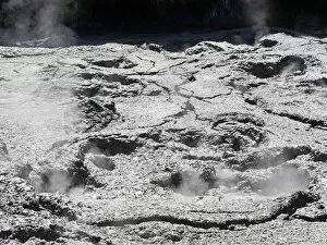
Background imageGeology Collection: The spectacular geothermal area of Rotorua in New Zealands North Island - steaming fissures 2a

The spectacular geothermal area of Rotorua in New Zealands North Island - steaming fissures 2a
Rotorua, New Zealand - 1 March 2019; Rotorua in New Zealands North Island is an extended area packed with geothermal vents, boiling mud springs, sulphur fields, steaming fissures and geysers

Background imageGeology Collection: Misty morning, Geiranger Fjord

Misty morning, Geiranger Fjord

Background imageGeology Collection: Golden waves at sunset, Naeroyfjord, Norway Golden waves at sunset, Naeroyfjord, Norway

Golden waves at sunset, Naeroyfjord, Norway Golden waves at sunset, Naeroyfjord, Norway
Golden waves at sunset, Naeroyfjord, Norway

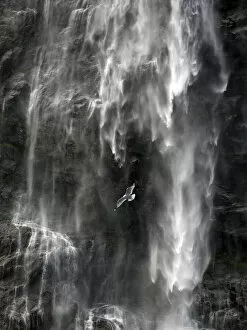
Background imageGeology Collection: Seagull flying by Seven Sisters Waterfall

Seagull flying by Seven Sisters Waterfall

Background imageGeology Collection: Seagull by Seven Sisters Waterfall

Seagull by Seven Sisters Waterfall

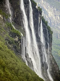
Background imageGeology Collection: Seven Sisters Waterfall, Norway

Seven Sisters Waterfall, Norway

Background imageGeology Collection: Geiranger Fjord in Norway - Seven Sisters Waterfall at dusk

Geiranger Fjord in Norway - Seven Sisters Waterfall at dusk

Background imageGeology Collection: Geiranger Fjord in Norway, evening

Geiranger Fjord in Norway, evening

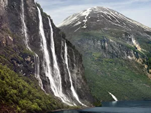
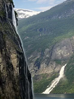
Background imageGeology Collection: Geiranger Fjord in Norway - Seven Sisters and Suitor waterfalls

Geiranger Fjord in Norway - Seven Sisters and Suitor waterfalls

Background imageGeology Collection: Seven Sisters Waterfall in Geiranger Fjord, Norway

Seven Sisters Waterfall in Geiranger Fjord, Norway

Background imageGeology Collection: Seven Sisters Waterfall in Geiranger Fjord, evening

Seven Sisters Waterfall in Geiranger Fjord, evening

Background imageGeology Collection: Geiranger Fjord and Seven Sisters of Norway, evening

Geiranger Fjord and Seven Sisters of Norway, evening

Background imageGeology Collection: Seven Sisters of Geiranger Fjord, evening

Seven Sisters of Geiranger Fjord, evening

Background imageGeology Collection: Seven Sisters Waterfall of Geiranger, Norway

Seven Sisters Waterfall of Geiranger, Norway

Background imageGeology Collection: Geiranger Fjord in Norway - nbw

Geiranger Fjord in Norway - nbw

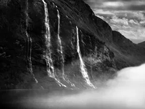
Background imageGeology Collection: Waterfalls of Geiranger Fjord, Norway, in early morning mists

Waterfalls of Geiranger Fjord, Norway, in early morning mists

Background imageGeology Collection: Gerainger Fjord and Seven Sisters, Norway, at dawn

Gerainger Fjord and Seven Sisters, Norway, at dawn


For sale as Licensed Images

Choose your image, Select your licence and Download the media

"Exploring the Earth's Rich Tapestry: A Journey through Geology" William Smith Geological Map: Unveiling the intricate layers of our planet's history, this map showcases the pioneering work of geologist William Smith. Derwent Water, with Blencathra behind: Nature's masterpiece in Cumbria, England reveals geological wonders that have shaped this breathtaking landscape over millions of years. View to the Seven Sisters from Seaford Head: Witnessing the dramatic cliffs and rolling waves along East Sussex's coast reminds us of nature's relentless force and its impact on shaping our world. Continental drift after 250 million years: Delving into deep time, we unravel how tectonic plates have shifted and continents have drifted apart, reshaping our planet as we know it today. Sunset at Uluru, Ayers Rock: The vibrant hues painting the sky above Australia's iconic monolith remind us of ancient geological processes that formed this majestic landmark over countless millennia. Malham Cove, Yorkshire Dales: Marvel at Mother Nature's artistry as water erodes limestone to create magnificent formations like this awe-inspiring cove in England’s picturesque countryside. Tryfan viewed from Glyder Fach in Snowdonia: Gazing upon Wales' rugged beauty unveils a tale written by glaciers and volcanic activity—a testament to Earth’s dynamic past etched across these towering peaks. Antique colored illustrations - Geological map of England and Wales: Step back in time with these vintage maps that guided early geologists through uncharted territories, unlocking secrets hidden beneath our feet. Durdle Door, Dorset: Carved by relentless waves over eons, this natural limestone arch stands proudly on Dorset’s Jurassic Coast—a living testament to Earth’s ongoing transformational journey. Geological map of Britain and Ireland.