
Grunge Collection (#17)
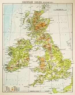
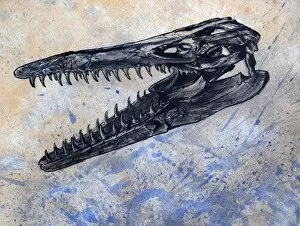
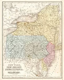
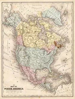
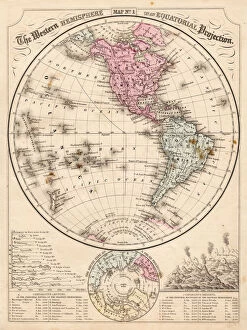
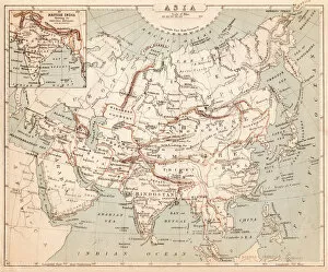
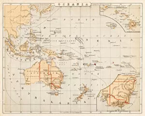
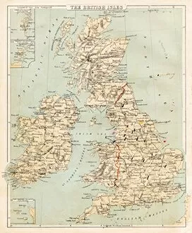
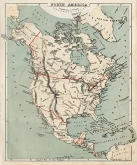
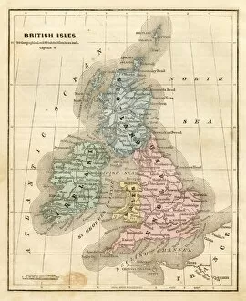
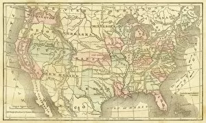
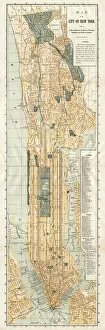
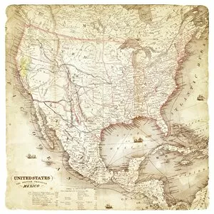
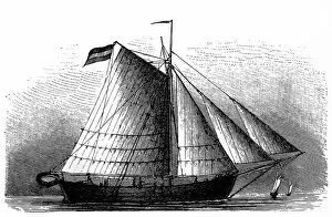
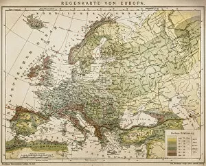
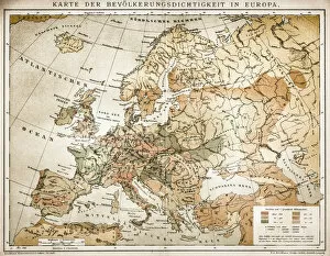
"Exploring the Grunge: A Journey through Time and Territories" Embark on a captivating voyage as we delve into the world of grunge


For sale as Licensed Images
Choose your image, Select your licence and Download the media
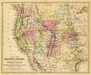
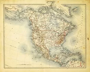
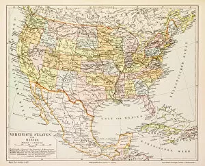
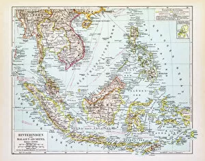
"Exploring the Grunge: A Journey through Time and Territories" Embark on a captivating voyage as we delve into the world of grunge, where maps serve as portals to unravel history's enigmatic tales. Our first stop takes us back to 1520, with a mesmerizing world map that unveils ancient civilizations and uncharted lands. Moving forward in time, we encounter a fascinating map from 1856 showcasing Australia and New Zealand, offering glimpses into their colonial pasts. Meanwhile, Strabo's unique perspective reveals an intriguing rendition of the world according to his knowledge. Amidst this exploration, we stumble upon the valiant Knights Templar on their sacred mission to procure relics for their nation. Their quest unfolds across continents and cultures, leaving behind an indelible mark on history. Shifting our focus closer to home, Texas emerges as a prominent figure in our journey. Maps from 1867 and 1856 present contrasting images of this vast state during its formative years – witness its growth and transformation over time. Venturing further into Europe's rich tapestry of nations, an old map offers insights into bygone eras when borders were fluid yet fiercely contested. The yearning for discovery continues with Australia's evolving landscape depicted in a detailed map from 1883. As we approach the end of our odyssey through space and time, Western Europe comes alive in another stunning depiction from 1883 – marvel at how countries have evolved while retaining echoes of their storied pasts. Before concluding our expedition, let us not forget the intricate anatomy of common carp; nature's wonders are intertwined with human endeavors throughout history. Finally arriving at United States' doorstep in 1876 brings forth visions of manifest destiny etched onto every inch of its vast territory – behold America's diverse landscapes united under one flag. Intriguingly interconnected yet distinctively diverse.