
High Road Collection (#3)
"Embarking on the High Road: Exploring Oxford Street to East Lothian and Beyond" Join us on a captivating journey along the High Road


For sale as Licensed Images
Choose your image, Select your licence and Download the media
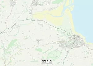
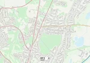
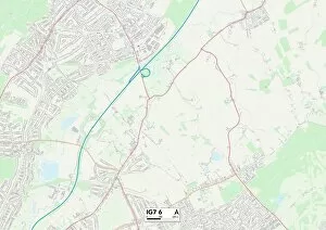
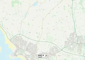
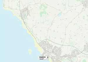
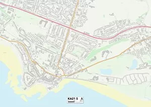
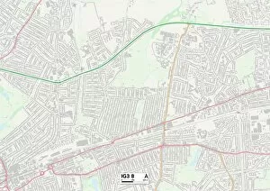
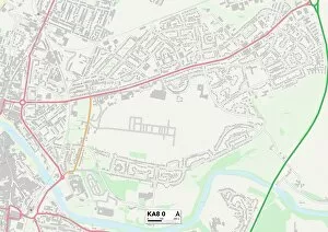
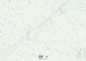
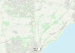
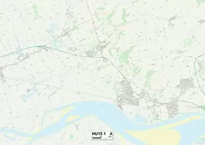
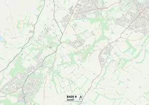
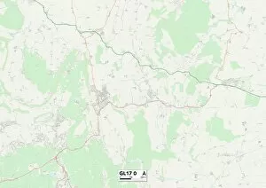
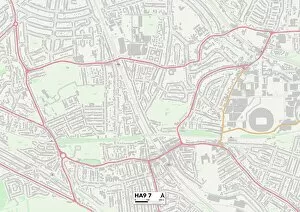
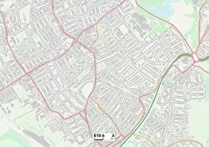
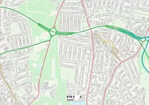
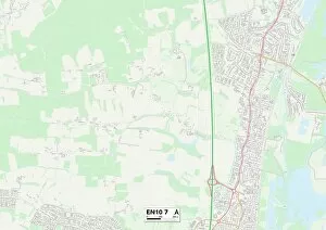
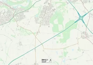
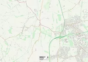
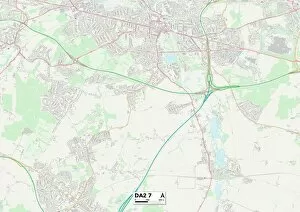
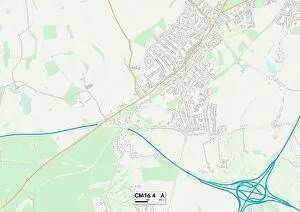
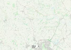
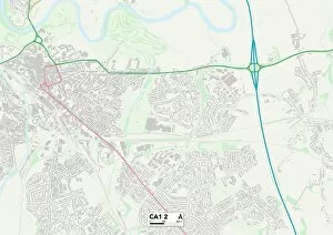
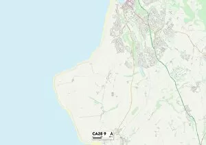
"Embarking on the High Road: Exploring Oxford Street to East Lothian and Beyond" Join us on a captivating journey along the High Road, as we traverse through iconic locations such as Oxford Street, Watford, Thurrock, Barnet, and beyond. From bustling city streets to serene countryside landscapes, this adventure promises to unveil hidden gems at every turn. Starting our expedition in the heart of London's shopping district on Oxford Street (MOT01_01_06), we set off towards Watford (WD25 7 Map) where quaint charm meets modernity. Continuing our exploration further northwards, Thurrock (SS17 8 Map) welcomes us with its rich history and picturesque surroundings. As we venture into Barnet (N12 0 Map), an enchanting blend of old-world allure and contemporary vibrancy awaits. The journey then takes us eastward towards the captivating landscapes of East Riding of Yorkshire (HU15 2 Map), where rolling hills and charming villages paint a picture-perfect scene. Our odyssey reaches its northernmost point in East Lothian (EH42 1 Map), offering breathtaking coastal vistas that will leave you spellbound. Immerse yourself in the beauty of nature as you explore sandy beaches or wander through historic towns steeped in Scottish heritage. Along this remarkable route, we encounter fascinating glimpses into history captured by various engravings like "A Bavarian Christmas Journey, " "A Boy's Life at Eton, " and "The First Photographs taken from an Air-Ship over London. " These timeless images transport us back in time while reminding us of how far we have come. But it's not just historical moments that captivate our attention; tales unfold before our eyes through lithographs like "The Floods in South Wales" or "A Golf Story. " Each artwork tells a unique story that adds depth to our voyage along the High Road.