
Historical Geopolitical Location Collection (#3)
"Journey through Time: Exploring Historical Geopolitical Locations" Step into the past with a vintage map of Magna Graecia


For sale as Licensed Images
Choose your image, Select your licence and Download the media
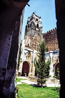
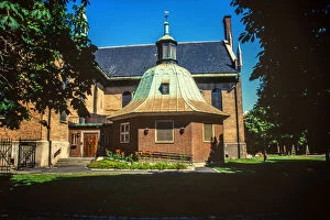
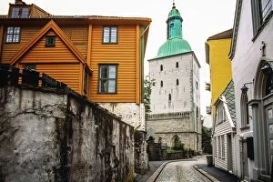
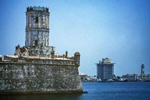
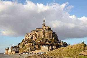
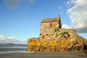
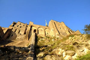
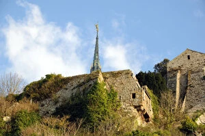
"Journey through Time: Exploring Historical Geopolitical Locations" Step into the past with a vintage map of Magna Graecia, where ancient civilizations thrived and left their mark on history. Marvel at the vast empire of Alexander the Great as you trace his campaigns on an ancient history map. Transport yourself to Palestine during the time of Jesus Christ, visualizing the landscapes he walked upon. Witness Jesus praying in the garden, feeling a sense of awe and reverence for this pivotal moment in religious history. Delve deeper into biblical Palestine with an antique map, unraveling its rich historical tapestry. Immerse yourself in Rocamadour, perched atop cliffs in Southern France - a town that whispers tales from centuries ago. Explore Prussia's intricate details on an antique map, tracing its borders and imagining life within its boundaries. Experience winter's enchantment at Chesme Church in Saint Petersburg Russia - a testament to architectural grandeur frozen in time. Enter Imperial Palace Citadel Hue Vietnam through a majestic doorway, uncovering secrets held within these historic walls. Be captivated by Metropolitan Cathedral Pipe Organs' melodies echoing through sacred halls. Discover Vishnu's divine presence at Angkor Wat - an awe-inspiring temple complex steeped in spirituality and cultural significance. Soar above Beijing's Great Wall of China for an aerial view that showcases both human ingenuity and geopolitical importance. These historical geopolitical locations invite us to journey back in time, connecting us to our collective heritage while igniting curiosity about those who came before us.