
Housatonic River Collection
The Housatonic River, flowing through the picturesque landscapes of Massachusetts and Connecticut, is a natural wonder that captivates all who encounter its beauty


For sale as Licensed Images
Choose your image, Select your licence and Download the media
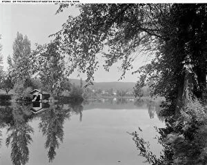
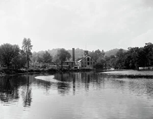
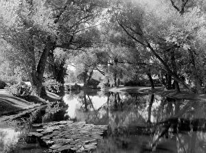
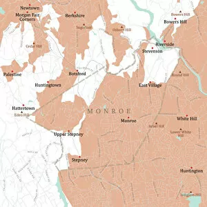
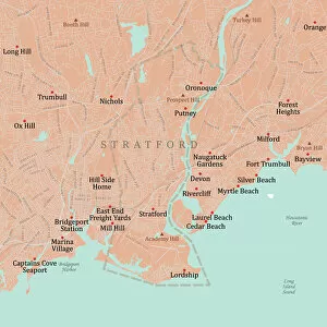
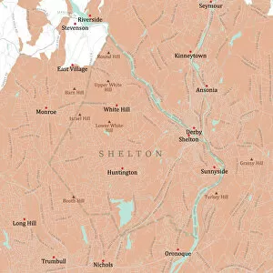
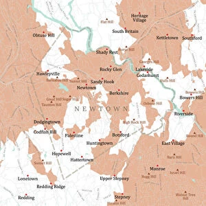
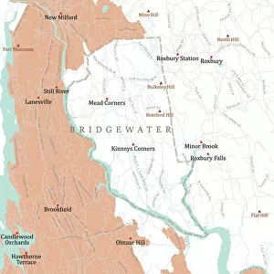
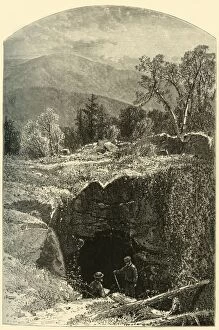
The Housatonic River, flowing through the picturesque landscapes of Massachusetts and Connecticut, is a natural wonder that captivates all who encounter its beauty. As depicted in the 1874 artworks by Frederick William Quartley and Samuel Valentine Hunt, this majestic river meanders gracefully through Berkshire County in Massachusetts, offering breathtaking views along Vector Road Map. Continuing its journey into Fairfield County in Connecticut, the Housatonic River enchants residents and visitors alike as it passes through Monroe, Stratford, Shelton, Newtown - each town adorned with their own unique charm showcased on the Vector Road Map. The river's banks serve as a tranquil oasis for those seeking solace amidst nature's embrace. One cannot help but be mesmerized by the Natural Bridge located in North Adams. Created by W. H. Morse and immortalized in his artwork from 1874, this remarkable formation stands as a testament to the power of water over time. It serves as a reminder of the ever-changing landscape shaped by rivers like the Housatonic. Stockbridge boasts one of many scenic spots along this magnificent waterway. The Housatonic River at Stockbridge offers an idyllic setting where locals gather to appreciate nature's wonders or engage in recreational activities such as fishing or boating. This serene location invites you to immerse yourself fully within its peaceful ambiance. Further downstream lies Kent - a charming town nestled within Litchfield Hills' western Connecticut region. Here you'll find an Oak tree standing tall amidst vast fields; it symbolizes resilience against time's passage while harmonizing perfectly with its surroundings. As we explore these various points along the Housatonic River's course on both sides of state borders delineated on Vector Road Maps – from MA Berkshire Lee to CT Fairfield Monroe and beyond – we are reminded of how rivers connect us all: they unite communities while simultaneously showcasing Mother Nature's artistry at every turn.