mail_outline sales@mediastorehouse.com
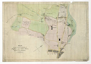
Plan of part of the townships of Sheffield and Nether Hallam, Sheffield, c. 1826Full title: Plan of part of the townships of Sheffield and Nether Hallam which is in dispute. Includes John Addys house, Lidgate Field, Shales Moor Close, White House Lane or Walkley Road
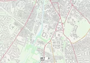
Leicester LE2 7 MapPostcode Sector Map of Leicester LE2 7
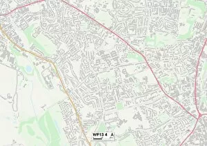
Kirklees WF13 4 MapPostcode Sector Map of Kirklees WF13 4
Rotherham S62 6 MapPostcode Sector Map of Rotherham S62 6
Ceredigion SY23 2 MapPostcode Sector Map of Ceredigion SY23 2
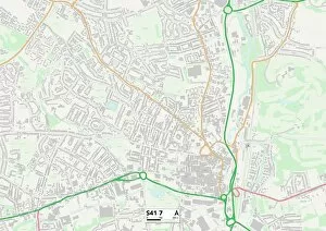
Chesterfield S41 7 MapPostcode Sector Map of Chesterfield S41 7
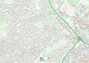
Sheffield S6 3 MapPostcode Sector Map of Sheffield S6 3
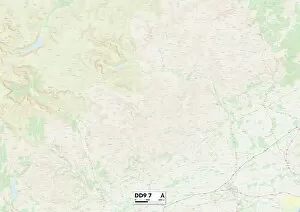
Angus DD9 7 MapPostcode Sector Map of Angus DD9 7
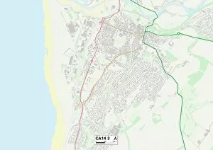
CA Carlisle, CA14 3CA14 3
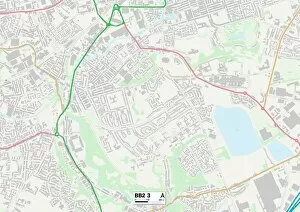
Blackburn with Darwen BB2 3 MapPostcode Sector Map of Blackburn with Darwen BB2 3
Choose your image, Select your licence and Download the media