
Irish Sea Collection (#6)
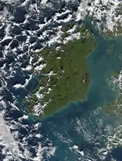
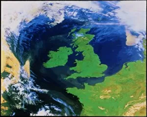
The Irish Sea: A Tapestry of Beauty and History Gazing down from space, the Irish Sea reveals its enchanting allure as it shimmers under the night sky


For sale as Licensed Images
Choose your image, Select your licence and Download the media
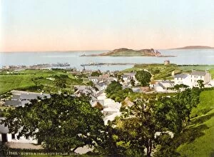
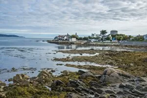
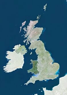
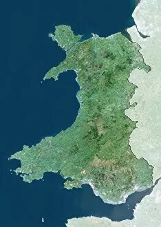
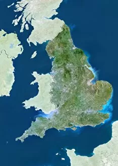
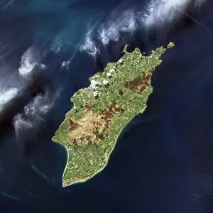
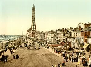
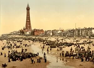
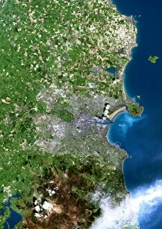
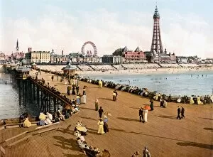
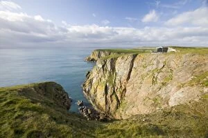
The Irish Sea: A Tapestry of Beauty and History Gazing down from space, the Irish Sea reveals its enchanting allure as it shimmers under the night sky, separating Scotland and England. This satellite image captures the mesmerizing expanse that connects these lands. On one side lies Lancashire's Lytham St Annes, a coastal gem in England where golden sands meet rolling waves. Further south, Baily Lighthouse stands tall on Howth Peninsula in County Dublin, Ireland - a beacon guiding ships through treacherous waters. Venturing westward brings us to Wales and its captivating Menai Strait. Here, nature weaves an intricate tapestry of rugged beauty between mainland Wales and Anglesey Island. Traveling back in time to 1895, Pwllheli emerges as a sheltered corner nestled within this maritime realm. The tranquility of Whitehaven Harbour during the mid-19th century is etched forever in an engraving from c1840-50 - a testament to human ingenuity coexisting with nature's grandeur. Yet even amidst serene scenes lie moments of mystery. Fog envelops the Skellig Islands off County Kerry's coast; Great Skellig Michael takes center stage while Little Skellig peeks shyly from behind - an ethereal sight that captivates all who witness it. Delving further into history reveals Whitehaven's bustling harbor during 1814-1825; artist William Daniell immortalizes this vibrant hub where trade thrived amid breathtaking surroundings. In Britannia's Realm circa 1880 (c1930), John Brett paints a vivid picture encompassing not only land but also sea - showcasing how intertwined they are within this region rich with heritage. And let us not forget Hadrian's Wall standing resolute against time itself – a symbol of ancient Roman engineering marvels that once guarded Britannia’s northern frontier.