
Johannes Blaeu Collection
Johannes Blaeu: A Master Cartographer and Engraver Johannes Blaeu, a renowned Dutch cartographer and engraver

For sale as Licensed Images
Choose your image, Select your licence and Download the media
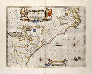
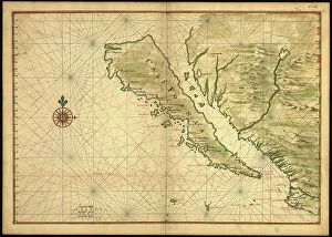
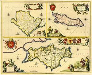
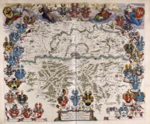
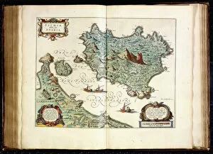
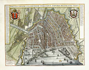
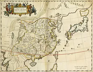
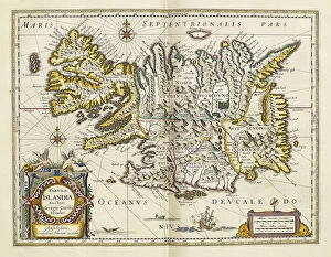
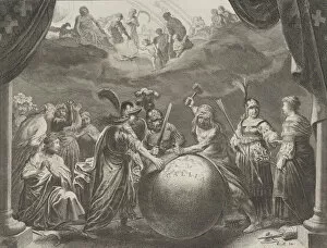
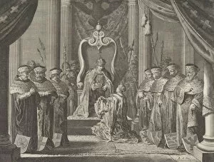
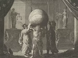
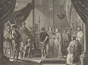
Johannes Blaeu: A Master Cartographer and Engraver Johannes Blaeu, a renowned Dutch cartographer and engraver, left an indelible mark on the world of maps and illustrations during the 17th century. His meticulous attention to detail and artistic flair can be seen in his various works, including the Map of Virginia and Florida from 1667. This hand-coloured engraving on vellum showcases Blaeu's expertise in capturing geographical features with stunning accuracy. Another masterpiece by Blaeu is the Map of Germany, created around 1644-1645. With its vibrant colours and intricate engravings, this map provides a comprehensive view of Germany's diverse landscapes and cities during that era. Not limited to terrestrial maps alone, Blaeu also ventured into depicting islands such as Ischia in 1642. Through his coloured engravings, he transported viewers to this picturesque Italian island with its charming architecture and breathtaking scenery. Blaeu's talent extended beyond mapping; he also crafted allegorical plates like Geographia Blaviana which showcased his creativity in blending artistry with geography. These symbolic representations added depth to his works while captivating audiences with their hidden meanings. One notable example is Plate 12: Allegory on Discord in France from Caspar Barlaeus' publication. Here, through intricate details and symbolism, Blaeu depicted the turmoil within France during that period - a testament to his ability to convey complex ideas visually. In addition to these allegorical plates, Blaeu produced detailed plans and views of towns across Holland and the Low Countries. One such example is Plate 8: Emperor Maximilian II granting a crown to Amsterdam's coat of arms - an homage to the city's rich history. His contributions were not limited solely to Europe; he also delved into mapping far-flung lands like China or Iceland for Atlas Maior Sive Cosmographia Blaviana.