
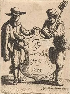
Justus Danckerts Collection
Justus Danckerts was a renowned cartographer and engraver in the 17th century


For sale as Licensed Images
Choose your image, Select your licence and Download the media
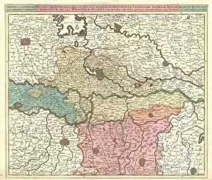
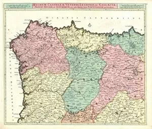
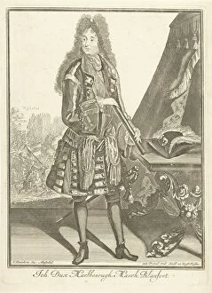
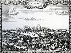
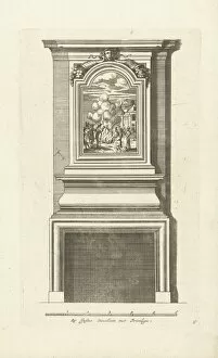
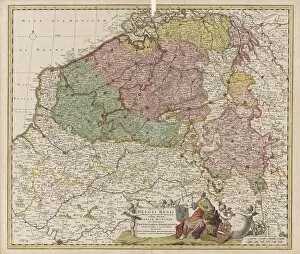
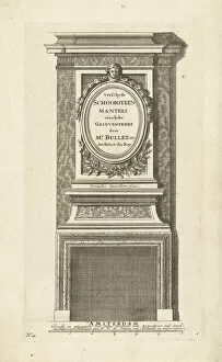
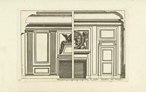
Justus Danckerts was a renowned cartographer and engraver in the 17th century. His maps were highly accurate and detailed, providing valuable information about various regions and territories. One of his notable works is the "Map Status Sabaudici tabulam ducatum Sabaudiae, " which depicts the Duchy of Savoy in great detail. This map showcases the geographical features, cities, and boundaries of this region. Another significant creation by Danckerts is the "Map Ducatus Mediolanensis Parmensis et Montisferrati cum omnibus sui. " This map portrays the Duchy of Milan along with Parma and Montferrat, showcasing their territorial extent during that time. Danckerts also created maps like "Regnum Castellae novae Andalusiae Granadae" which illustrates the Kingdoms of New Castile, Andalusia, and Granada. These maps provide insights into political divisions within Spain during that era. The cartographer's expertise extended to other regions as well. For instance, his work on "Ducatus Mantuensis qua sunt ducatus Guastallae" showcases both Mantua and Guastalla in Italy with intricate details about their landscapes. Danckerts' contributions weren't limited to mapping alone; he also produced portraits such as "Portrait John Churchill Marlborough Joh Dux Marlborough. " This portrait captures John Churchill Marlborough, Duke of Marlborough, highlighting his importance during that period. Furthermore, Justus Danckerts designed large homes like "Afbeeldsels der voornaamste, " emphasizing architectural aesthetics through detailed illustrations. His dedication to accuracy can be seen in works such as "Accuratissima Galliae tabula vulgo Royaume de France, " a highly precise map depicting France with its various provinces clearly marked out. Danckerts' talent for cartography extended beyond national borders too.