
Liverpool Road Collection
Liverpool Road is a historic and well-traveled route that connects various towns and cities across the United Kingdom


For sale as Licensed Images
Choose your image, Select your licence and Download the media
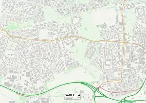
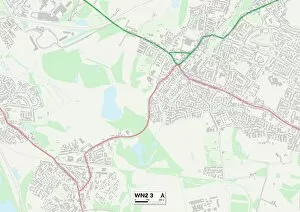
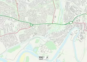
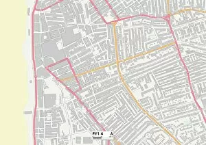
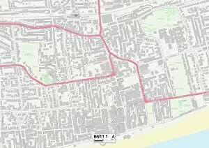
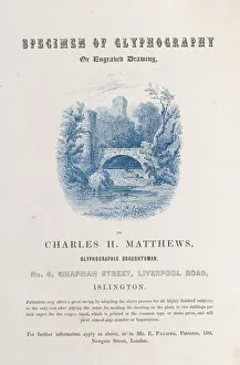
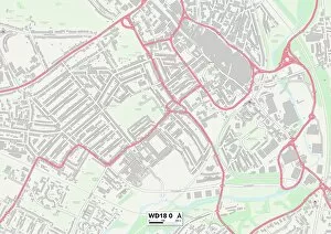
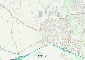
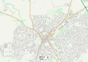
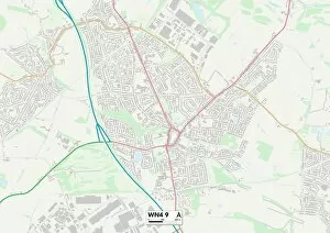
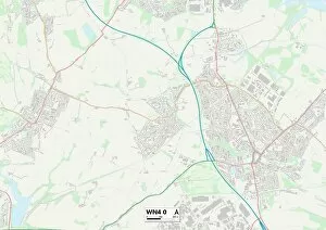
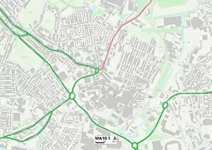
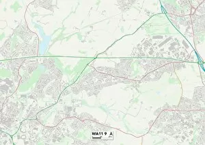
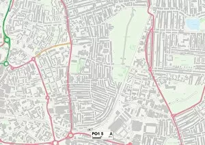
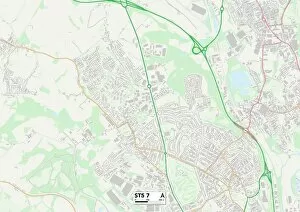
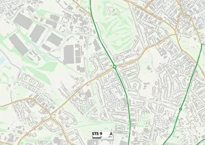
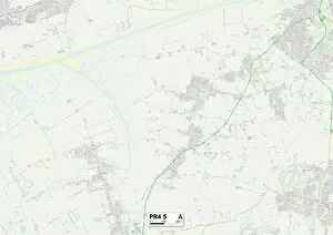
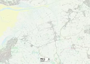
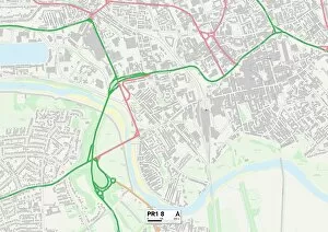
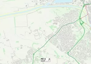
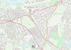
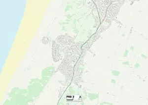
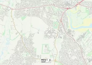
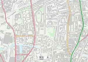
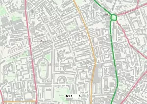
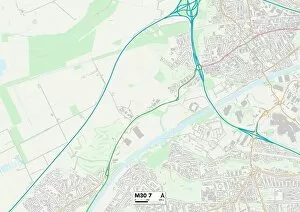
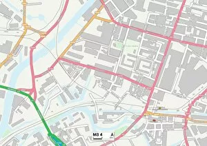
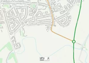
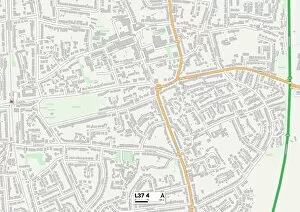
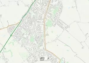
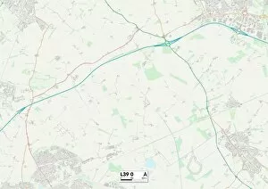
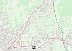
Liverpool Road is a historic and well-traveled route that connects various towns and cities across the United Kingdom. Starting from Halton in WA8, it winds through Wigan (WN2), Warrington (WA5), Luton (LU1), Salford (M44), Worthing (BN11) and Watford (WD18). This road has witnessed the comings and goings of countless Manchester operatives, as depicted in an engraving showcasing their dwellings. The trade card for Charles H. Matthews, a talented draughtsman from the 19th century, adds to the rich history associated with Liverpool Road. As you follow this path further, it leads you to Worcester (WR5) in all its splendor before finally reaching West Lancashire's charming countryside at WN8. Along the way, Liverpool Road showcases diverse landscapes - from bustling urban centers to tranquil rural areas like Shropshire's SY11. This road serves as a lifeline connecting communities throughout England and has witnessed generations of travelers embarking on journeys filled with dreams and aspirations. Whether it be for work or leisure, it offers a gateway to new opportunities. The maps provided offer guidance along this iconic route while highlighting key destinations such as Halton, Wigan, Warrington, Luton, Salford, Worthing, Watford, Worcester and West Lancashire. Each location holds its own unique charm waiting to be explored by those who venture down Liverpool Road. So next time you find yourself traveling through these regions or planning an adventure across England's picturesque landscapes – remember that Liverpool Road beckons with promises of discovery and memories waiting to be made.