
Low Street Collection
"Exploring the Enigmatic Low Street: A Journey Through Time and Place" Embark on a captivating journey as we delve into the mysterious world of Low Street


For sale as Licensed Images
Choose your image, Select your licence and Download the media
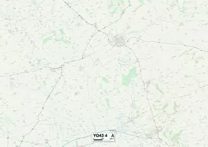
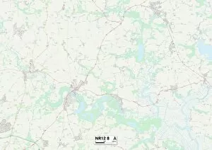
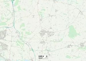
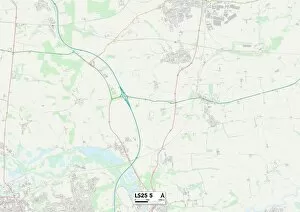
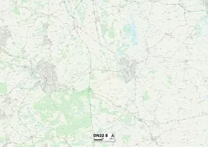
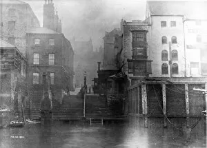
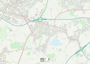
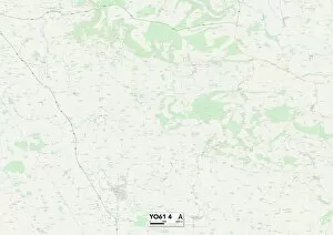
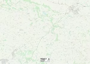
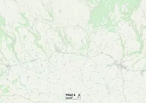
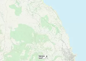
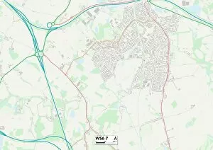
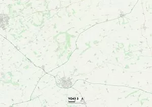
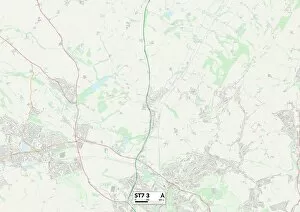
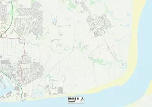
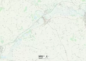
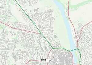
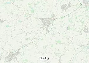
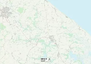
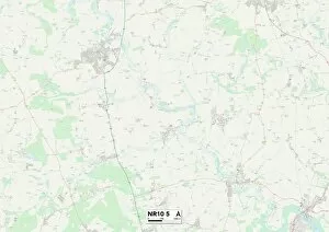
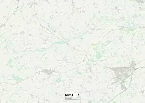
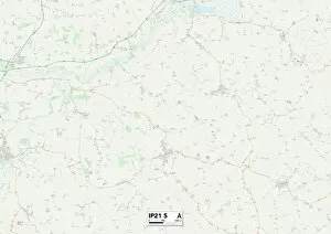
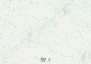
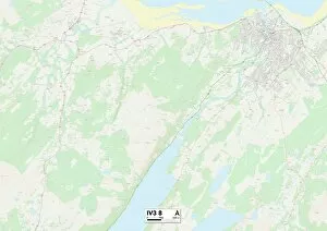
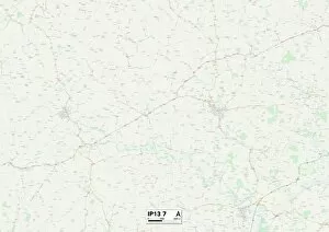
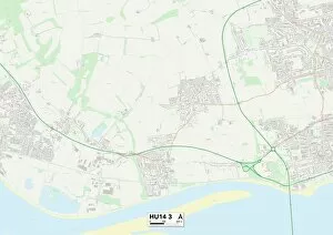
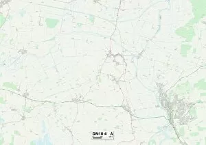
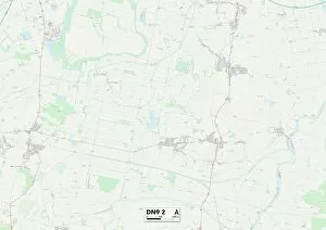
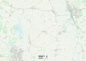
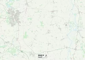
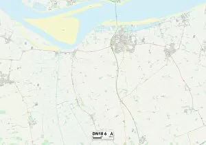
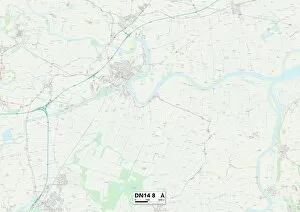
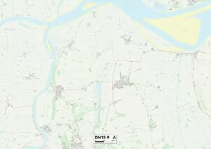
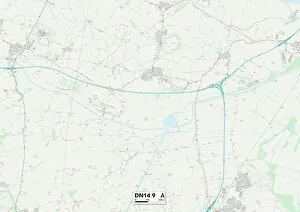
"Exploring the Enigmatic Low Street: A Journey Through Time and Place" Embark on a captivating journey as we delve into the mysterious world of Low Street. Nestled in various locations across Yorkshire, Bassetlaw, Sunderland, and South Staffordshire, this collection of maps unveils a tapestry of history waiting to be unraveled. Our adventure commences in the East Riding of Yorkshire's YO43 4 Map, where whispers from bygone eras echo through its cobbled streets. As we move westward to Leeds LS25 5 Map, the vibrant energy of city life intertwines with remnants of antiquity along Low Street. Next stop is Bassetlaw DN22 8 Map; here lies an enchanting tale captured in a black-and-white photograph from 1884. Bodlewell Lane Ferry landing in Sunderland transports us back to an era when horse-drawn carriages graced these shores. Leeds WF3 1 Map beckons us next with its fusion of urban charm and historical significance. The allure intensifies as we venture further north into North Yorkshire's YO62 5 Map and YO61 4 Map – picturesque landscapes dotted with quaint cottages lining Low Street. The journey takes an intriguing turn upon reaching York YO60 7 Map, where ancient walls guard secrets etched within each cobblestone. Continuing our exploration through North Yorkshire's YO62 6 Map reveals hidden gems nestled amidst breathtaking scenery that captivates both heart and soul. As we near our final destinations, North Yorkshire's YO13 0 Map unfolds before us like pages from a storybook – tales whispered by winds that have witnessed centuries pass by. Finally arriving at Sunderland SR1 2 Map brings us full circle; here lies another chapter in the ever-evolving narrative woven along Low Street. Our expedition concludes in South Staffordshire WS6 7Map.