
Map Reading Collection
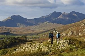
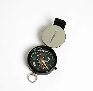
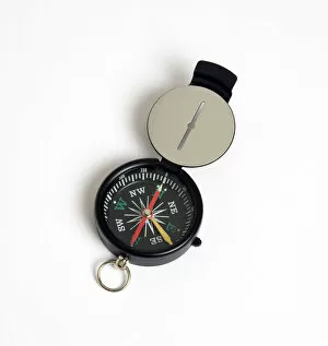
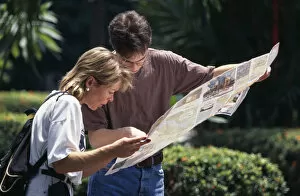
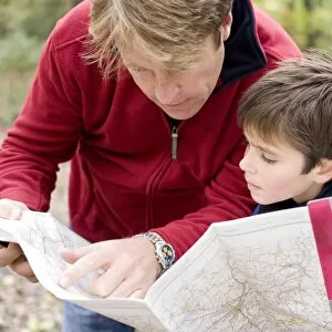
"Finding Their Way: The Art of Map Reading" In the breathtaking landscapes of North Wales, amidst the majestic Snowdonia mountains


For sale as Licensed Images
Choose your image, Select your licence and Download the media
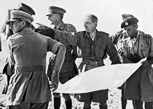
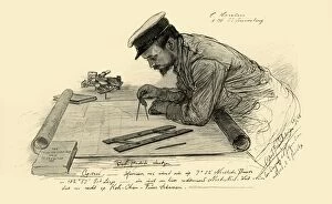
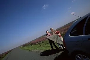
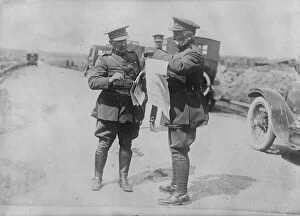
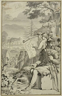
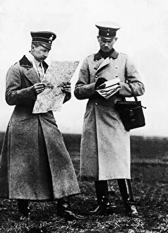
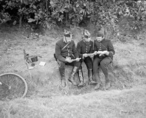
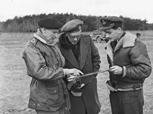
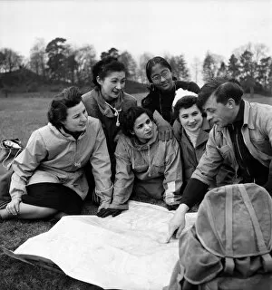
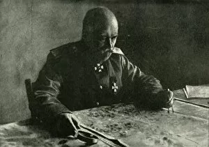
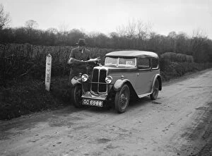
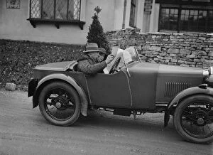
"Finding Their Way: The Art of Map Reading" In the breathtaking landscapes of North Wales, amidst the majestic Snowdonia mountains, a man and woman pause their hiking adventure to consult their trusty map. With determination in their eyes and curiosity guiding them, they navigate through the rugged terrain with precision. Traveling back in time to 1898, we meet A Hansen, first officer on the Knivsberg. Captured by Christian Wilhelm Allers' skilled brushstrokes, Hansen stands proudly holding a map as he charts his course across uncharted waters. His expertise and reliance on maps showcase the importance of this timeless skill. Venturing further into England's picturesque North Yorkshire Moors, motorists find solace in unfolding their map to guide them along winding roads. In an age before GPS devices dominated our travels, these explorers relied on paper maps for direction - a true testament to human ingenuity. Across borders in Italy, travelers are greeted warmly by peasants as they unfold their gouache and watercolor-adorned map. This vibrant depiction captures not only the beauty of Italy but also highlights how maps can bridge cultural gaps and create connections between people from different walks of life. Yet sometimes even with maps at hand, one can feel lost. In a vivid color lithograph aptly titled "Lost. ", we witness the frustration that comes when directions fail us. However daunting it may seem at times, finding our way back is part of life's grand journey. Fast forward to World War I where General Ivanoff commands Southern Russian Group in 1915; his strategic moves guided by meticulously studied military maps. Similarly, General Sakharoff relies on cartographic knowledge during post-war times (1919). These historical figures demonstrate how crucial map reading was for military operations throughout history. Shifting gears towards more leisurely pursuits brings us to JCC Half-Day Trial races held in 1930s Britain.