
Maple Close Collection (#2)

Discover the charm of Maple Close, a hidden gem in various locations across the UK

Background imageMaple Close Collection: Hampshire PO10 7 Map

Hampshire PO10 7 Map
Postcode Sector Map of Hampshire PO10 7

Background imageMaple Close Collection: Wokingham RG41 5 Map

Wokingham RG41 5 Map
Postcode Sector Map of Wokingham RG41 5

Background imageMaple Close Collection: Havering RM12 4 Map

Havering RM12 4 Map
Postcode Sector Map of Havering RM12 4

Background imageMaple Close Collection: Staffordshire ST6 8 Map

Staffordshire ST6 8 Map
Postcode Sector Map of Staffordshire ST6 8

Background imageMaple Close Collection: Staffordshire ST10 1 Map

Staffordshire ST10 1 Map
Postcode Sector Map of Staffordshire ST10 1

Background imageMaple Close Collection: Sedgemoor TA6 6 Map

Sedgemoor TA6 6 Map
Postcode Sector Map of Sedgemoor TA6 6

Background imageMaple Close Collection: Somerset TA7 8 Map

Somerset TA7 8 Map
Postcode Sector Map of Somerset TA7 8

Background imageMaple Close Collection: Somerset TA2 7 Map

Somerset TA2 7 Map
Postcode Sector Map of Somerset TA2 7

Background imageMaple Close Collection: Shropshire TF9 1 Map

Shropshire TF9 1 Map
Postcode Sector Map of Shropshire TF9 1

Background imageMaple Close Collection: Tunbridge Wells TN2 5 Map

Tunbridge Wells TN2 5 Map
Postcode Sector Map of Tunbridge Wells TN2 5

Background imageMaple Close Collection: Shropshire TF11 8 Map

Shropshire TF11 8 Map
Postcode Sector Map of Shropshire TF11 8

Background imageMaple Close Collection: Telford and Wrekin TF2 6 Map

Telford and Wrekin TF2 6 Map
Postcode Sector Map of Telford and Wrekin TF2 6

Background imageMaple Close Collection: Teignbridge TQ12 3 Map

Teignbridge TQ12 3 Map
Postcode Sector Map of Teignbridge TQ12 3

Background imageMaple Close Collection: Torbay TQ5 0 Map

Torbay TQ5 0 Map
Postcode Sector Map of Torbay TQ5 0

Background imageMaple Close Collection: Mid Sussex RH16 3 Map

Mid Sussex RH16 3 Map
Postcode Sector Map of Mid Sussex RH16 3

Background imageMaple Close Collection: South Buckinghamshire SL6 4 Map

South Buckinghamshire SL6 4 Map
Postcode Sector Map of South Buckinghamshire SL6 4

Background imageMaple Close Collection: Test Valley SO51 5 Map

Test Valley SO51 5 Map
Postcode Sector Map of Test Valley SO51 5

Background imageMaple Close Collection: North Dorset SP7 8 Map

North Dorset SP7 8 Map
Postcode Sector Map of North Dorset SP7 8

Background imageMaple Close Collection: Lambeth SW4 8 Map

Lambeth SW4 8 Map
Postcode Sector Map of Lambeth SW4 8

Background imageMaple Close Collection: Cornwall PL31 2 Map

Cornwall PL31 2 Map
Postcode Sector Map of Cornwall PL31 2

Background imageMaple Close Collection: Cornwall PL14 6 Map

Cornwall PL14 6 Map
Postcode Sector Map of Cornwall PL14 6

Background imageMaple Close Collection: Plymouth PL6 7 Map

Plymouth PL6 7 Map
Postcode Sector Map of Plymouth PL6 7

Background imageMaple Close Collection: Cornwall PL26 8 Map

Cornwall PL26 8 Map
Postcode Sector Map of Cornwall PL26 8

Background imageMaple Close Collection: West Devon PL19 9 Map

West Devon PL19 9 Map
Postcode Sector Map of West Devon PL19 9

Background imageMaple Close Collection: Cornwall PL17 7 Map

Cornwall PL17 7 Map
Postcode Sector Map of Cornwall PL17 7

Background imageMaple Close Collection: Neath Port Talbot SA11 3 Map

Neath Port Talbot SA11 3 Map
Postcode Sector Map of Neath Port Talbot SA11 3

Background imageMaple Close Collection: Monmouthshire NP7 6 Map

Monmouthshire NP7 6 Map
Postcode Sector Map of Monmouthshire NP7 6

Background imageMaple Close Collection: South Northamptonshire NN13 6 Map

South Northamptonshire NN13 6 Map
Postcode Sector Map of South Northamptonshire NN13 6

Background imageMaple Close Collection: South Northamptonshire NN12 6 Map

South Northamptonshire NN12 6 Map
Postcode Sector Map of South Northamptonshire NN12 6

Background imageMaple Close Collection: Daventry NN11 7 Map

Daventry NN11 7 Map
Postcode Sector Map of Daventry NN11 7

Background imageMaple Close Collection: Daventry NN11 3 Map

Daventry NN11 3 Map
Postcode Sector Map of Daventry NN11 3

Background imageMaple Close Collection: Oxford OX2 9 Map

Oxford OX2 9 Map
Postcode Sector Map of Oxford OX2 9

Background imageMaple Close Collection: Cherwell OX16 9 Map

Cherwell OX16 9 Map
Postcode Sector Map of Cherwell OX16 9

Background imageMaple Close Collection: Oldham OL2 7 Map

Oldham OL2 7 Map
Postcode Sector Map of Oldham OL2 7

Background imageMaple Close Collection: Norfolk NR29 4 Map

Norfolk NR29 4 Map
Postcode Sector Map of Norfolk NR29 4

Background imageMaple Close Collection: Newport NP18 2 Map

Newport NP18 2 Map
Postcode Sector Map of Newport NP18 2

Background imageMaple Close Collection: West Norfolk PE32 1 Map

West Norfolk PE32 1 Map
Postcode Sector Map of West Norfolk PE32 1

Background imageMaple Close Collection: Huntingdonshire PE28 5 Map

Huntingdonshire PE28 5 Map
Postcode Sector Map of Huntingdonshire PE28 5

Background imageMaple Close Collection: Sussex PO22 6 Map

Sussex PO22 6 Map
Postcode Sector Map of Sussex PO22 6

Background imageMaple Close Collection: Berkshire RG4 9 Map

Berkshire RG4 9 Map
Postcode Sector Map of Berkshire RG4 9

Background imageMaple Close Collection: Hampshire PO15 5 Map

Hampshire PO15 5 Map
Postcode Sector Map of Hampshire PO15 5

Background imageMaple Close Collection: Chichester RH14 9 Map

Chichester RH14 9 Map
Postcode Sector Map of Chichester RH14 9

Background imageMaple Close Collection: Horsham RH12 4 Map

Horsham RH12 4 Map
Postcode Sector Map of Horsham RH12 4

Background imageMaple Close Collection: Crawley RH6 8 Map

Crawley RH6 8 Map
Postcode Sector Map of Crawley RH6 8

Background imageMaple Close Collection: Caerphilly NP12 2 Map

Caerphilly NP12 2 Map
Postcode Sector Map of Caerphilly NP12 2

Background imageMaple Close Collection: Norfolk NR20 4 Map

Norfolk NR20 4 Map
Postcode Sector Map of Norfolk NR20 4

Background imageMaple Close Collection: Norfolk NR18 0 Map

Norfolk NR18 0 Map
Postcode Sector Map of Norfolk NR18 0

Background imageMaple Close Collection: Rushcliffe NG13 8 Map

Rushcliffe NG13 8 Map
Postcode Sector Map of Rushcliffe NG13 8


For sale as Licensed Images

Choose your image, Select your licence and Download the media

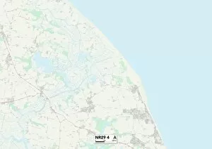
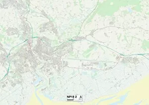
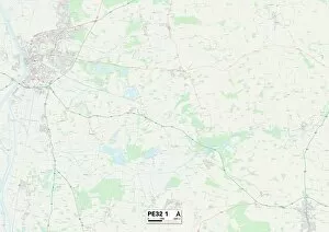
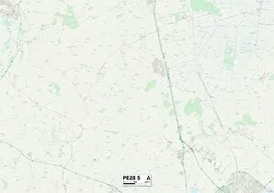
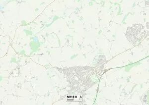
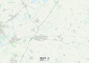
Discover the charm of Maple Close, a hidden gem in various locations across the UK. From Stockport's SK2 6 Map to Ashford's TN23 3 Map, this quaint neighborhood offers something for everyone. Nestled in Hampshire's PO13 9 Map and North Yorkshire's DL9 4 Map, residents enjoy picturesque surroundings and a sense of tranquility. Dudley's DY8 3 Map boasts a vibrant community with plenty of amenities nearby. Escape to Swansea's SA4 4 Map or Huntingdonshire's PE28 3 Map for a slice of countryside bliss. Crawley's RH11 7 Map is perfect for those seeking convenience and modern living, while Mansfield's NG19 0 Map offers a peaceful retreat from city life. Leeds' LS25 5 map promises an exciting urban lifestyle with its bustling streets and cultural attractions. Nature lovers will adore South Lakeland’s LA10 5 map, where stunning landscapes await at every turn. And let’s not forget Kingston upon Hull’s HU5 map – an area brimming with history and character. No matter which location you choose, Maple Close provides a warm and welcoming atmosphere that feels like home. So why wait? Come explore these diverse communities today.