Mapping Collection (#19)

"Exploring the World Through Maps: A Journey of Discovery" Embark on a captivating journey through time and space as we delve into the fascinating world of mapping

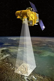
Background imageMapping Collection: Vegetation sensor on SPOT 4, artwork

Vegetation sensor on SPOT 4, artwork

Background imageMapping Collection: SPOT 5 satellite, artwork

SPOT 5 satellite, artwork

Background imageMapping Collection: SPOT 4 and Artemis satellites, artwork

SPOT 4 and Artemis satellites, artwork

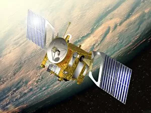
Background imageMapping Collection: Venus Express mission, artwork

Venus Express mission, artwork

Background imageMapping Collection: HRVIR sensor on SPOT 4, artwork

HRVIR sensor on SPOT 4, artwork

Background imageMapping Collection: SPOT 4 satellite, artwork

SPOT 4 satellite, artwork

Background imageMapping Collection: Venus, synthetic aperture radar map

Venus, synthetic aperture radar map
This Magellan Radar image of the Venus surafce in January 1991. The large 120 km structure is a socalled corona, the smaller features are called " pancakes" with a diameter of 35

Background imageMapping Collection: SPOT satellites, artwork

SPOT satellites, artwork
SPOT satellites. Artwork of the four of the five SPOT (Satellite Pour l Observation de la Terre) earth observation satellites in Earth orbit, with the Moon at lower left

Background imageMapping Collection: The moon from space

The moon from space. View from a fictional spacecraft flying west of the full Moon, over the Ocean of Storms (Oceanus Procellarum) and Mare Imbrium above

Background imageMapping Collection: Global methane concentration, 2004

Global methane concentration, 2004
Global methane concentration. Map showing the concentration of methane (CH4) gas in the stratosphere (about 10-50 kilometres in altitude) on 25th July 2004

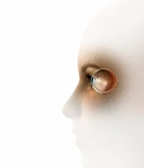
Background imageMapping Collection: Facemapping, artwork

Facemapping, artwork
Facemapping. Computer artwork of a grid system layered over a human face in order to create a digitised version of it

Background imageMapping Collection: Biometric recognition, conceptual artwork

Biometric recognition, conceptual artwork
Biometric recognition, conceptual computer artwork

Background imageMapping Collection: Polar orbit diagram

Polar orbit diagram

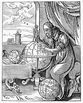
Background imageMapping Collection: Medieval geographer

Medieval geographer. Artwork of a 15th century geographer using a pair of dividers to measure distances on a terrestrial globe showing the known regions of the Earth

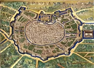
Background imageMapping Collection: 16th Century Plan of Milan

16th Century Plan of Milan
16th century plan of Milan. Details from the map of

Background imageMapping Collection: 16th Century Galleon

16th Century Galleon
16th century galleon in the Gulf of Porto. Detail from a map of Corsica in the Gallery of Maps in the Vatican Museum. These maps were commissioned between 1578

Background imageMapping Collection: Walk-on street map in Paris

Walk-on street map in Paris
A map on a pavement in Paris, near the Hotel de Ville. The " Main Verte" (green hand) logo with the watering can

Background imageMapping Collection: Compass on a map

Compass on a map

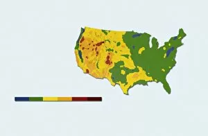
Background imageMapping Collection: Geothermal mapping, USA

Geothermal mapping, USA. Map of the USA, showing the temperature at a depth of six kilometres below the surface. This shows areas with a high potential for boreholes to be drilled to those depths

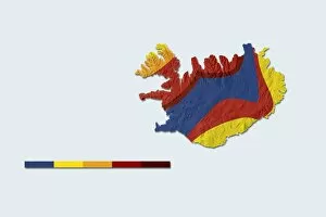
Background imageMapping Collection: Geothermal mapping, Iceland

Geothermal mapping, Iceland. Map of iceland, showing the temperature at a depth of two kilometres below the surface. This shows areas with a high potential for boreholes to be drilled to those

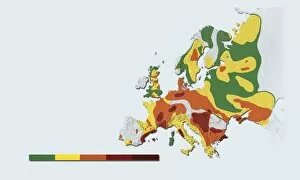
Background imageMapping Collection: Geothermal mapping, Europe

Geothermal mapping, Europe. Map of Europe, showing the temperature at a depth of five kilometres below the surface. This shows areas with a high potential for boreholes to be drilled to those depths

Background imageMapping Collection: Compass and dividers on a map

Compass and dividers on a map
Navigational compass and dividers (also called a measuring compass, lower left) on a map

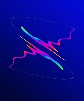
Background imageMapping Collection: Chaos map

Chaos map. Computer model of chaos produced by a repeated mathematical operation (iteration) called mapping. Mathematical mapping involves repeating rules that tell you how to change the original

Background imageMapping Collection: Alexander von Humboldt, German naturalist

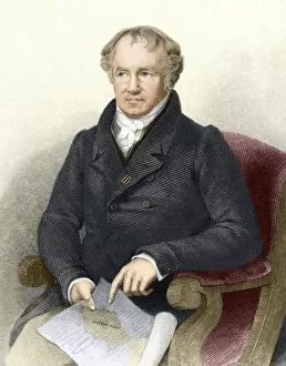
Alexander von Humboldt, German naturalist
Alexander von Humboldt (1769-1859), German naturalist and geographer. At 27, Humboldt inherited enough money to plan an expedition with botanist Aime Bonpland to South America (map shown)


For sale as Licensed Images

Choose your image, Select your licence and Download the media

"Exploring the World Through Maps: A Journey of Discovery" Embark on a captivating journey through time and space as we delve into the fascinating world of mapping. From the iconic Wimbledon tennis complex in the UK to the enchanting Theatre of the Empire of Great Britain, these maps offer glimpses into diverse landscapes and historical narratives. Transport yourself back to 1560 Mexico with Alonso de Santa Cruz's Map of Tenochtitlan, where you can trace the ancient streets and waterways that once thrived in this vibrant city. Or marvel at Durer's intricate world map from 1515, which showcases an era when cartography was still in its infancy but held immense potential for exploration. Step foot onto 16th-century Florence with a meticulously detailed plan that captures every nook and cranny of this Renaissance gem. Meanwhile, an Italian map from 1537 unveils Corfu's allure nestled within Greece's Ionian Sea – a testament to both artistic skill and geographical accuracy. As we venture further into history, a stunning 17th-century European map unfolds before our eyes, revealing political boundaries that have since evolved but continue to shape our present-day understanding. Witness Dubrovnik's pre-1667 earthquake charm through an intricately crafted depiction that preserves its architectural grandeur. The allure extends beyond terrestrial realms as well; explore Bermuda’s beauty through a vividly colored engraving or immerse yourself in Roman glory with "A New Map of the Roman Empire. " These maps not only guide us geographically but also provide insights into cultural heritage and societal dynamics. Finally, let us contemplate White Matter Fibres' artwork from 1930 – an abstract representation reminding us that mapping transcends physical borders too. It invites us to explore neural pathways within our own minds while appreciating how cartography has become intertwined with human cognition throughout history. Intricate lines, vibrant colors, and meticulous details come together on these maps, inviting us to embark on a visual and intellectual adventure.