
Masked Collection (#29)
"Unveiling the Enigmatic: A Journey through Masked Histories and Cultures" Step into a world shrouded in mystery as we explore the captivating realm of masks


For sale as Licensed Images
Choose your image, Select your licence and Download the media
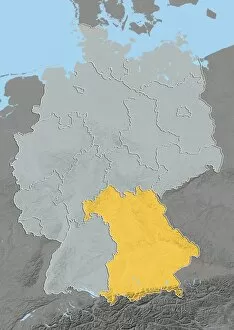
"Unveiling the Enigmatic: A Journey through Masked Histories and Cultures" Step into a world shrouded in mystery as we explore the captivating realm of masks. From the haunting Plague doctors of the 17th century to Kay Nielsen's enchanting artwork in "The Chariot, " these masked figures have left an indelible mark on history. Travel with us to Scotland, UK, where satellite images reveal a land steeped in ancient traditions and hidden secrets. Annie Peck, masked and dressed for climbing, embodies bravery and determination against nature's challenges. Witness the evolution of plague doctors from their eerie origins in the 18th century to C. H. Shepard's vibrant portrayal during Carnival in Venice. X-X-X-X-Xmas by J. Gordge adds a touch of festive intrigue while Costume Design for Don Giovanni by Mozart transports us to an operatic world filled with masked allure. Venice, Veneto, Italy beckons us further into its seductive embrace as we encounter a mysterious character standing before Palazzo dei Dogi during Carnival. The Commedia dell'arte engraving from the 16th century reminds us of Italy's rich theatrical heritage. Delve deeper into mask culture across continents as we uncover Bobo masks amidst festivities in Sikasso, Mali, Africa. These intricate creations celebrate tradition and community spirit. Finally, let Police Mag. 's cover from 1933 serve as a reminder that even within our own societies, masks can hide both truth and deception. Join us on this mesmerizing journey through time and space where every mask holds untold stories waiting to be unraveled. Discover how these enigmatic disguises continue to captivate our imagination across diverse cultures worldwide.