Meadow Close Collection (#3)

Meadow Close is a picturesque residential area located in various parts of the UK

Background imageMeadow Close Collection: North Dorset SP7 8 Map

North Dorset SP7 8 Map
Postcode Sector Map of North Dorset SP7 8

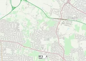
Background imageMeadow Close Collection: Castle Point SS7 3 Map

Castle Point SS7 3 Map
Postcode Sector Map of Castle Point SS7 3

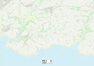
Background imageMeadow Close Collection: South Hams PL8 1 Map

South Hams PL8 1 Map
Postcode Sector Map of South Hams PL8 1

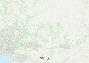
Background imageMeadow Close Collection: Plymouth PL7 5 Map

Plymouth PL7 5 Map
Postcode Sector Map of Plymouth PL7 5

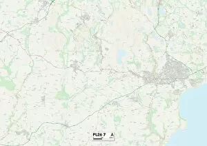
Background imageMeadow Close Collection: Cornwall PL26 7 Map

Cornwall PL26 7 Map
Postcode Sector Map of Cornwall PL26 7

Background imageMeadow Close Collection: Cornwall PL25 3 Map

Cornwall PL25 3 Map
Postcode Sector Map of Cornwall PL25 3

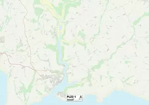
Background imageMeadow Close Collection: Cornwall PL23 1 Map

Cornwall PL23 1 Map
Postcode Sector Map of Cornwall PL23 1

Background imageMeadow Close Collection: Fylde PR4 2 Map

Fylde PR4 2 Map
Postcode Sector Map of Fylde PR4 2

Background imageMeadow Close Collection: Fylde PR3 3 Map

Fylde PR3 3 Map
Postcode Sector Map of Fylde PR3 3

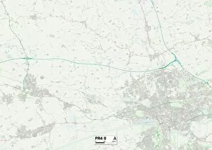
Background imageMeadow Close Collection: Fylde PR4 0 Map

Fylde PR4 0 Map
Postcode Sector Map of Fylde PR4 0

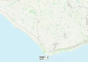
Background imageMeadow Close Collection: Isle of Wight PO38 2 Map

Isle of Wight PO38 2 Map
Postcode Sector Map of Isle of Wight PO38 2

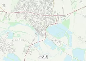
Background imageMeadow Close Collection: Huntingdonshire PE27 5 Map

Huntingdonshire PE27 5 Map
Postcode Sector Map of Huntingdonshire PE27 5

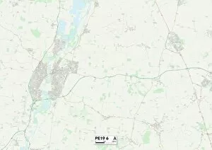
Background imageMeadow Close Collection: Huntingdonshire PE19 6 Map

Huntingdonshire PE19 6 Map
Postcode Sector Map of Huntingdonshire PE19 6

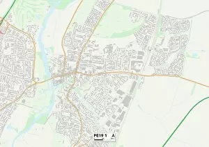
Background imageMeadow Close Collection: Huntingdonshire PE19 1 Map

Huntingdonshire PE19 1 Map
Postcode Sector Map of Huntingdonshire PE19 1

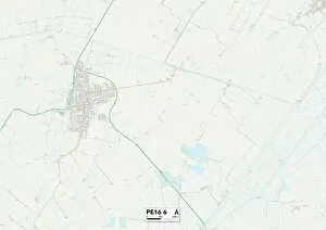
Background imageMeadow Close Collection: Fenland PE16 6 Map

Fenland PE16 6 Map
Postcode Sector Map of Fenland PE16 6

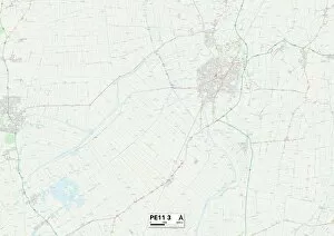
Background imageMeadow Close Collection: South Holland PE11 3 Map

South Holland PE11 3 Map
Postcode Sector Map of South Holland PE11 3

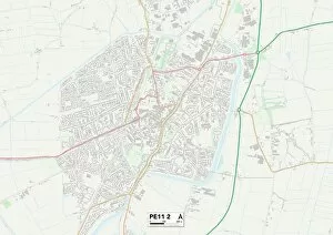
Background imageMeadow Close Collection: South Holland PE11 2 Map

South Holland PE11 2 Map
Postcode Sector Map of South Holland PE11 2

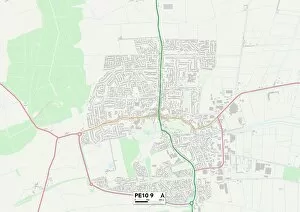
Background imageMeadow Close Collection: South Kesteven PE10 9 Map

South Kesteven PE10 9 Map
Postcode Sector Map of South Kesteven PE10 9

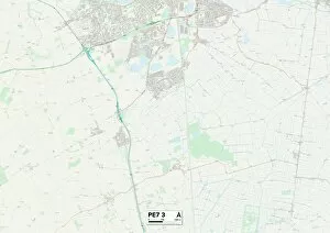
Background imageMeadow Close Collection: Peterborough PE7 3 Map

Peterborough PE7 3 Map
Postcode Sector Map of Peterborough PE7 3

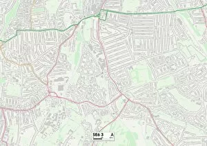
Background imageMeadow Close Collection: Lewisham SE6 3 Map

Lewisham SE6 3 Map
Postcode Sector Map of Lewisham SE6 3

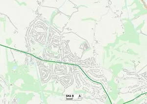
Background imageMeadow Close Collection: Stockport SK6 8 Map

Stockport SK6 8 Map
Postcode Sector Map of Stockport SK6 8

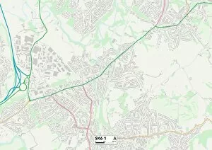
Background imageMeadow Close Collection: Stockport SK6 1 Map

Stockport SK6 1 Map
Postcode Sector Map of Stockport SK6 1

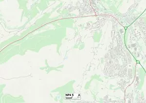
Background imageMeadow Close Collection: Monmouthshire NP4 5 Map

Monmouthshire NP4 5 Map
Postcode Sector Map of Monmouthshire NP4 5

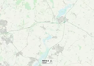
Background imageMeadow Close Collection: East Northamptonshire NN14 4 Map

East Northamptonshire NN14 4 Map
Postcode Sector Map of East Northamptonshire NN14 4

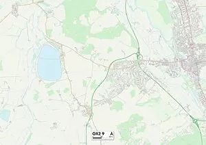
Background imageMeadow Close Collection: Oxford OX2 9 Map

Oxford OX2 9 Map
Postcode Sector Map of Oxford OX2 9

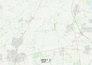
Background imageMeadow Close Collection: Vale of White Horse OX12 7 Map

Vale of White Horse OX12 7 Map
Postcode Sector Map of Vale of White Horse OX12 7

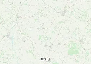
Background imageMeadow Close Collection: West Oxfordshire OX7 6 Map

West Oxfordshire OX7 6 Map
Postcode Sector Map of West Oxfordshire OX7 6

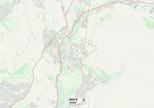
Background imageMeadow Close Collection: Tameside OL5 9 Map

Tameside OL5 9 Map
Postcode Sector Map of Tameside OL5 9

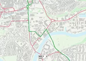
Background imageMeadow Close Collection: Nottingham NG2 3 Map

Nottingham NG2 3 Map
Postcode Sector Map of Nottingham NG2 3

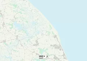
Background imageMeadow Close Collection: Norfolk NR29 4 Map

Norfolk NR29 4 Map
Postcode Sector Map of Norfolk NR29 4

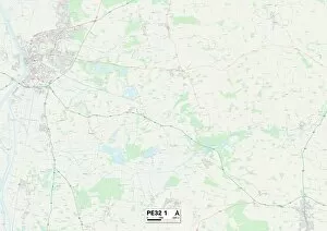
Background imageMeadow Close Collection: West Norfolk PE32 1 Map

West Norfolk PE32 1 Map
Postcode Sector Map of West Norfolk PE32 1

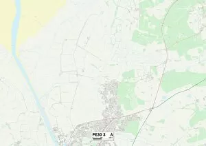
Background imageMeadow Close Collection: West Norfolk PE30 3 Map

West Norfolk PE30 3 Map
Postcode Sector Map of West Norfolk PE30 3

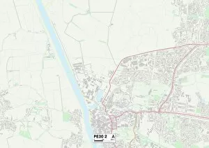
Background imageMeadow Close Collection: West Norfolk PE30 2 Map

West Norfolk PE30 2 Map
Postcode Sector Map of West Norfolk PE30 2

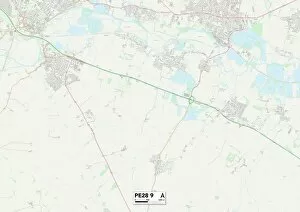
Background imageMeadow Close Collection: Huntingdonshire PE28 9 Map

Huntingdonshire PE28 9 Map
Postcode Sector Map of Huntingdonshire PE28 9

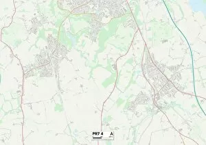
Background imageMeadow Close Collection: Chorley PR7 4 Map

Chorley PR7 4 Map
Postcode Sector Map of Chorley PR7 4

Background imageMeadow Close Collection: Isle of Wight PO36 9 Map

Isle of Wight PO36 9 Map
Postcode Sector Map of Isle of Wight PO36 9

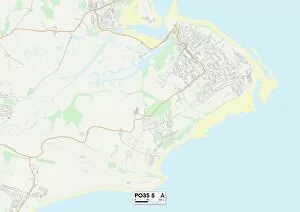
Background imageMeadow Close Collection: Isle of Wight PO35 5 Map

Isle of Wight PO35 5 Map
Postcode Sector Map of Isle of Wight PO35 5

Background imageMeadow Close Collection: Sussex PO18 0 Map

Sussex PO18 0 Map
Postcode Sector Map of Sussex PO18 0

Background imageMeadow Close Collection: Mole Valley RH4 3 Map

Mole Valley RH4 3 Map
Postcode Sector Map of Mole Valley RH4 3

Background imageMeadow Close Collection: Chichester RH14 9 Map

Chichester RH14 9 Map
Postcode Sector Map of Chichester RH14 9

Background imageMeadow Close Collection: Horsham RH12 4 Map

Horsham RH12 4 Map
Postcode Sector Map of Horsham RH12 4

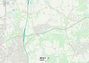
Background imageMeadow Close Collection: Crawley RH10 3 Map

Crawley RH10 3 Map
Postcode Sector Map of Crawley RH10 3

Background imageMeadow Close Collection: Caerphilly NP12 3 Map

Caerphilly NP12 3 Map
Postcode Sector Map of Caerphilly NP12 3

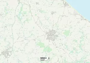
Background imageMeadow Close Collection: Norfolk NR28 0 Map

Norfolk NR28 0 Map
Postcode Sector Map of Norfolk NR28 0

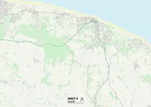
Background imageMeadow Close Collection: Norfolk NR27 9 Map

Norfolk NR27 9 Map
Postcode Sector Map of Norfolk NR27 9

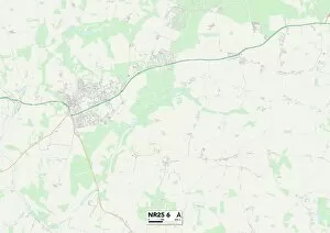
Background imageMeadow Close Collection: Norfolk NR25 6 Map

Norfolk NR25 6 Map
Postcode Sector Map of Norfolk NR25 6

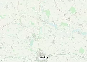
Background imageMeadow Close Collection: Norfolk NR20 4 Map

Norfolk NR20 4 Map
Postcode Sector Map of Norfolk NR20 4

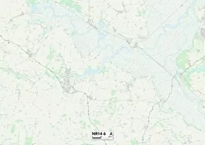
Background imageMeadow Close Collection: Norfolk NR14 6 Map

Norfolk NR14 6 Map
Postcode Sector Map of Norfolk NR14 6


For sale as Licensed Images

Choose your image, Select your licence and Download the media

Meadow Close is a picturesque residential area located in various parts of the UK. From BL Bolton, BL3 1 to Wakefield WF1 3, this charming neighborhood can be found in different regions such as East Hertfordshire SG13 7 and Wiltshire SN14 With its serene surroundings and beautiful landscapes, it offers residents a peaceful retreat from the hustle and bustle of city life. Whether you're in Kirklees WF17 0 or South Oxfordshire OX10 9, Meadow Close provides a sense of tranquility that is hard to find elsewhere. The community's well-maintained gardens and green spaces make it an ideal place for families to enjoy outdoor activities or simply relax amidst nature's beauty. From Newport NP20 5 to South Oxfordshire RG8 0, Meadow Close boasts a convenient location with easy access to amenities such as schools, shops, and recreational facilities. Residents can explore nearby attractions like Sussex PO20 1 or take leisurely walks along the scenic paths that wind through Norfolk NR14 No matter where you are on the map - whether it's Lincoln LN6 9 or Harborough LE16 7 - Meadow Close offers a warm and welcoming atmosphere that fosters a strong sense of community spirit. Neighbors often come together for social events and gatherings, creating lasting friendships within this close-knit neighborhood.