
Mexico Map Collection
Explore the vibrant waters of the Caribbean Sea and the rich history of Mexico with this captivating collection of maps


For sale as Licensed Images
Choose your image, Select your licence and Download the media
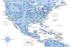
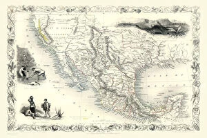
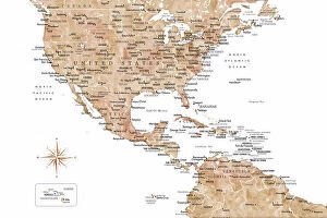
Explore the vibrant waters of the Caribbean Sea and the rich history of Mexico with this captivating collection of maps. From an aquamarine hue highlighting the United States and Mexico, to a golden representation of their shared borders, these maps tell a story of connection and discovery. Delve into the past with an old map of Mexico, California, and Texas from 1851 by John Tallis, or gaze at the neutral tones of the US and the Caribbean sea. Each map offers a unique perspective on the history, geography, and culture of this fascinating region.