Milton Road Collection (#2)

"Milton Road: A Journey Through Time and Community" Step back in time to the early 20th century, where Milton Road stood as a bustling hub of activity

Background imageMilton Road Collection: Sevenoaks TN13 2 Map

Sevenoaks TN13 2 Map
Postcode Sector Map of Sevenoaks TN13 2

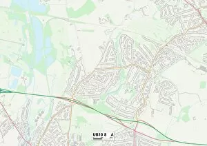
Background imageMilton Road Collection: Hillingdon UB10 8 Map

Hillingdon UB10 8 Map
Postcode Sector Map of Hillingdon UB10 8

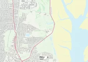
Background imageMilton Road Collection: Hampshire PO3 6 Map

Hampshire PO3 6 Map
Postcode Sector Map of Hampshire PO3 6

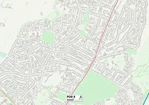
Background imageMilton Road Collection: Hampshire PO8 8 Map

Hampshire PO8 8 Map
Postcode Sector Map of Hampshire PO8 8

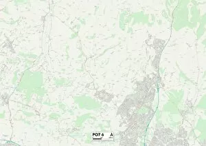
Background imageMilton Road Collection: Hampshire PO7 6 Map

Hampshire PO7 6 Map
Postcode Sector Map of Hampshire PO7 6

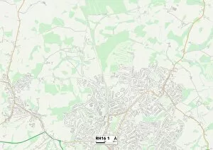
Background imageMilton Road Collection: Mid Sussex RH16 1 Map

Mid Sussex RH16 1 Map
Postcode Sector Map of Mid Sussex RH16 1

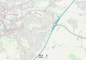
Background imageMilton Road Collection: Somerset TA1 2 Map

Somerset TA1 2 Map
Postcode Sector Map of Somerset TA1 2

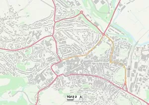
Background imageMilton Road Collection: Teignbridge TQ12 2 Map

Teignbridge TQ12 2 Map
Postcode Sector Map of Teignbridge TQ12 2

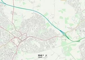
Background imageMilton Road Collection: Wokingham RG40 1 Map

Wokingham RG40 1 Map
Postcode Sector Map of Wokingham RG40 1

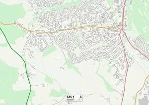
Background imageMilton Road Collection: Sheffield S35 1 Map

Sheffield S35 1 Map
Postcode Sector Map of Sheffield S35 1

Background imageMilton Road Collection: Sutton SM1 2 Map

Sutton SM1 2 Map
Postcode Sector Map of Sutton SM1 2

Background imageMilton Road Collection: Staffordshire ST1 6 Map

Staffordshire ST1 6 Map
Postcode Sector Map of Staffordshire ST1 6

Background imageMilton Road Collection: Wiltshire SP2 8 Map

Wiltshire SP2 8 Map
Postcode Sector Map of Wiltshire SP2 8

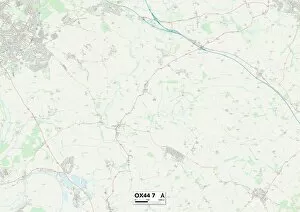
Background imageMilton Road Collection: South Oxfordshire OX44 7 Map

South Oxfordshire OX44 7 Map
Postcode Sector Map of South Oxfordshire OX44 7

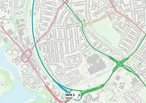
Background imageMilton Road Collection: Barnet NW4 3 Map

Barnet NW4 3 Map
Postcode Sector Map of Barnet NW4 3

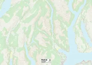
Background imageMilton Road Collection: Argyllshire PA23 8 Map

Argyllshire PA23 8 Map
Postcode Sector Map of Argyllshire PA23 8

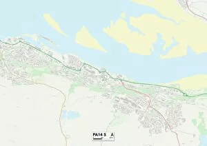
Background imageMilton Road Collection: Renfrewshire PA14 5 Map

Renfrewshire PA14 5 Map
Postcode Sector Map of Renfrewshire PA14 5

Background imageMilton Road Collection: Sheffield S7 1 Map

Sheffield S7 1 Map
Postcode Sector Map of Sheffield S7 1

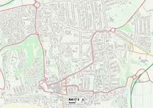
Background imageMilton Road Collection: Thurrock RM17 5 Map

Thurrock RM17 5 Map
Postcode Sector Map of Thurrock RM17 5

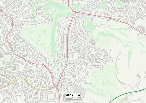
Background imageMilton Road Collection: Stockport SK7 2 Map

Stockport SK7 2 Map
Postcode Sector Map of Stockport SK7 2

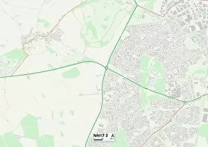
Background imageMilton Road Collection: Corby NN17 2 Map

Corby NN17 2 Map
Postcode Sector Map of Corby NN17 2

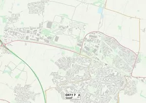
Background imageMilton Road Collection: South Oxfordshire OX11 7 Map

South Oxfordshire OX11 7 Map
Postcode Sector Map of South Oxfordshire OX11 7

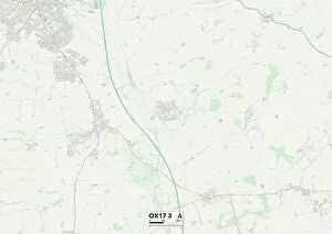
Background imageMilton Road Collection: Cherwell OX17 3 Map

Cherwell OX17 3 Map
Postcode Sector Map of Cherwell OX17 3

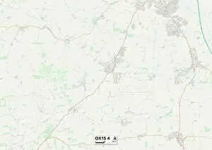
Background imageMilton Road Collection: Cherwell OX15 4 Map

Cherwell OX15 4 Map
Postcode Sector Map of Cherwell OX15 4

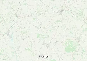
Background imageMilton Road Collection: West Oxfordshire OX7 6 Map

West Oxfordshire OX7 6 Map
Postcode Sector Map of West Oxfordshire OX7 6

Background imageMilton Road Collection: Oxford OX4 3 Map

Oxford OX4 3 Map
Postcode Sector Map of Oxford OX4 3

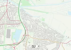
Background imageMilton Road Collection: Peterborough PE2 8 Map

Peterborough PE2 8 Map
Postcode Sector Map of Peterborough PE2 8

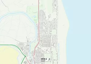
Background imageMilton Road Collection: Norfolk NR30 4 Map

Norfolk NR30 4 Map
Postcode Sector Map of Norfolk NR30 4

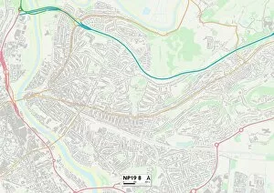
Background imageMilton Road Collection: Newport NP19 8 Map

Newport NP19 8 Map
Postcode Sector Map of Newport NP19 8

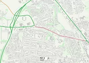
Background imageMilton Road Collection: Perth and Kinross PH1 2 Map

Perth and Kinross PH1 2 Map
Postcode Sector Map of Perth and Kinross PH1 2

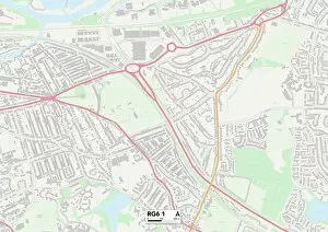
Background imageMilton Road Collection: Wokingham RG6 1 Map

Wokingham RG6 1 Map
Postcode Sector Map of Wokingham RG6 1

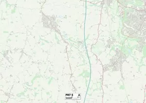
Background imageMilton Road Collection: Chorley PR7 5 Map

Chorley PR7 5 Map
Postcode Sector Map of Chorley PR7 5

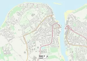
Background imageMilton Road Collection: Isle of Wight PO31 7 Map

Isle of Wight PO31 7 Map
Postcode Sector Map of Isle of Wight PO31 7

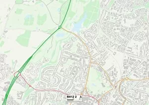
Background imageMilton Road Collection: Horsham RH12 2 Map

Horsham RH12 2 Map
Postcode Sector Map of Horsham RH12 2

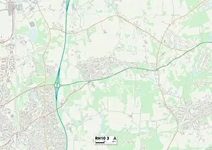
Background imageMilton Road Collection: Crawley RH10 3 Map

Crawley RH10 3 Map
Postcode Sector Map of Crawley RH10 3

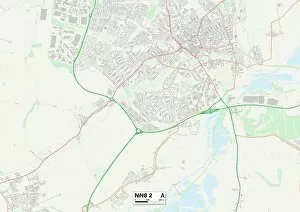
Background imageMilton Road Collection: Wellingborough NN8 2 Map

Wellingborough NN8 2 Map
Postcode Sector Map of Wellingborough NN8 2

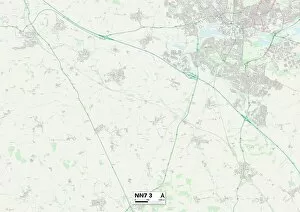
Background imageMilton Road Collection: Daventry NN7 3 Map

Daventry NN7 3 Map
Postcode Sector Map of Daventry NN7 3

Background imageMilton Road Collection: Milton Keynes MK15 9 Map

Milton Keynes MK15 9 Map
Postcode Sector Map of Milton Keynes MK15 9

Background imageMilton Road Collection: Camden N6 5 Map

Camden N6 5 Map
Postcode Sector Map of Camden N6 5

Background imageMilton Road Collection: Haringey N15 3 Map

Haringey N15 3 Map
Postcode Sector Map of Haringey N15 3

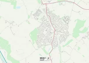
Background imageMilton Road Collection: Bedford MK45 1 Map

Bedford MK45 1 Map
Postcode Sector Map of Bedford MK45 1

Background imageMilton Road Collection: Bedford MK44 2 Map

Bedford MK44 2 Map
Postcode Sector Map of Bedford MK44 2

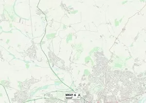
Background imageMilton Road Collection: Bedford MK41 6 Map

Bedford MK41 6 Map
Postcode Sector Map of Bedford MK41 6

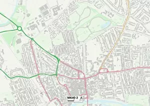
Background imageMilton Road Collection: Bedford MK40 2 Map

Bedford MK40 2 Map
Postcode Sector Map of Bedford MK40 2

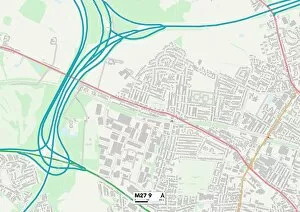
Background imageMilton Road Collection: Salford M27 9 Map

Salford M27 9 Map
Postcode Sector Map of Salford M27 9

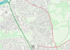
Background imageMilton Road Collection: Bury M25 1 Map

Bury M25 1 Map
Postcode Sector Map of Bury M25 1

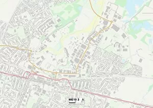
Background imageMilton Road Collection: Swale ME10 3 Map

Swale ME10 3 Map
Postcode Sector Map of Swale ME10 3

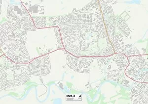
Background imageMilton Road Collection: Bury M26 3 Map

Bury M26 3 Map
Postcode Sector Map of Bury M26 3


For sale as Licensed Images

Choose your image, Select your licence and Download the media

"Milton Road: A Journey Through Time and Community" Step back in time to the early 20th century, where Milton Road stood as a bustling hub of activity. This captivating image from c1910 showcases the essence of this vibrant street, with its Medical Fund Hairdressing Room serving as a testament to the care and well-being of its residents. Located in Halton WA8 7 on the map, Milton Road was not just a mere address but an emblem of unity and camaraderie. It connected various towns and cities across England, each marked by their own unique maps - Brentwood CM14 5, Wolverhampton WV11 1, Wigan WA3 2, Thurrock SS17 8, Wiltshire SP4 7, Barnet NW7 4, East Northamptonshire PE8 4, Daventry NN11 9, Medway ME7 5, and Aylesbury Vale HP22. As you traverse through these diverse locations on your virtual journey along Milton Road's historical path, you'll discover more than just geographical boundaries. Each map represents a community that thrived within its own distinct culture and traditions. From Halton's close-knit neighborhood spirit to Wolverhampton's industrial prowess; from Wigan's proud heritage to Thurrock's scenic landscapes; from Wiltshire's idyllic countryside charm to Barnet's cosmopolitan vibe - every stop along this road tells a different story. Milton Road served as a lifeline for countless individuals who relied on it for their daily needs. Whether it was accessing medical assistance at the nearby clinic or getting pampered at the hairdressing room after a long day’s work – this street catered to all walks of life. The significance extended beyond physical location; it symbolized resilience and adaptability. The ever-changing landscape mirrored society’s evolution over time.