
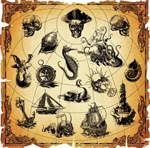
Navigational Compass Collection
Step back in time with these captivating navigational compasses and maps


For sale as Licensed Images
Choose your image, Select your licence and Download the media
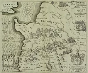
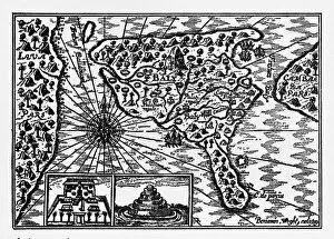
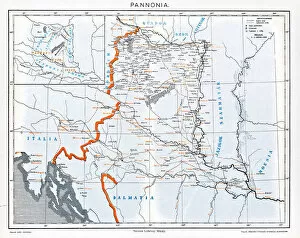
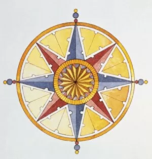
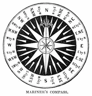
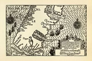
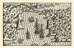
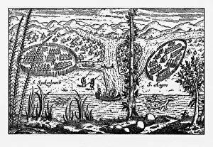
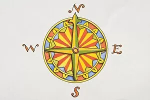
Step back in time with these captivating navigational compasses and maps. 🗺️⚓ Immerse yourself in the world of exploration as you gaze upon an antique map depicting the holy land, Syria, and Lebanon. This historical gem takes you on a journey through ancient times, revealing the paths once traveled by intrepid adventurers. Delve deeper into history with a mesmerizing illustration showcasing Dutch navigators' island of Bali. The intricate details transport you to a bygone era when brave sailors set sail to discover new lands. Travel across borders and explore Pannonia through an old map that unravels its secrets. Unearth forgotten tales of this ancient region as you trace your finger along its faded contours. Marvel at an antique map of the Middle East, where every line tells a story waiting to be discovered. Let your imagination soar as you envision caravans traversing deserts and traders navigating bustling markets centuries ago. Behold a compass shaped like a vibrant circle adorned with shades of yellow, blue, and orange. Its eight points derived from stars encircle the circumference, guiding explorers towards their destinations amidst vast oceans. Witness Bavaria's weather vane proudly displaying letters indicating each point of the compass. Standing tall against changing winds, it symbolizes both practicality and beauty in navigation throughout Germany's rich history. Transport yourself further back in time with an old Compass Windrose from 1881—a true relic that evokes memories of seafarers braving treacherous waters while relying on their trusty compasses for guidance. Discover Sierra Leone through an enchanting print featuring both coastal maps and illustrations. Lose yourself in its intricate details as you imagine early settlers charting unknown territories along Africa's western shores. Embark on a voyage alongside Van Noort with his meticulously crafted maps capturing the Strait of Magellan's essence circa 1599.